


Technology
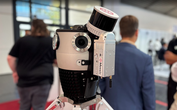
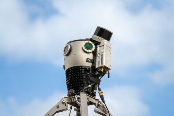
360-degree camera with LiDAR: Building an HD map
Get the best of both worlds – high precision from LiDAR and high resolution, crisp images from Mosaic cameras.
Industry
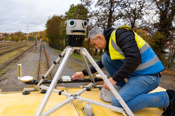
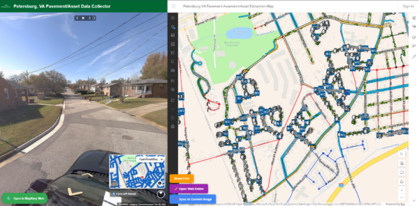
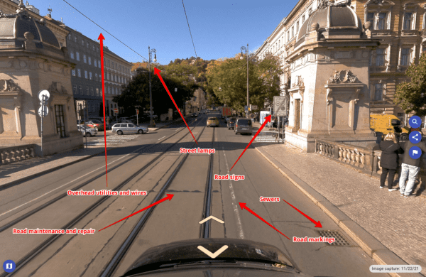
Scale & Capitalize on Street View Data from a 360º Camera
Discover how 1 data collection of street view imagery can be monetized across far-reaching industries and use cases.
Featured
Mosaic latest achievement – high density mesh from mobile mapping images only!
Mosaic X camera, powered by Bentley’s iTwin solution for Digital Twin creation, produces incredible image-only mesh. See here.
Featured
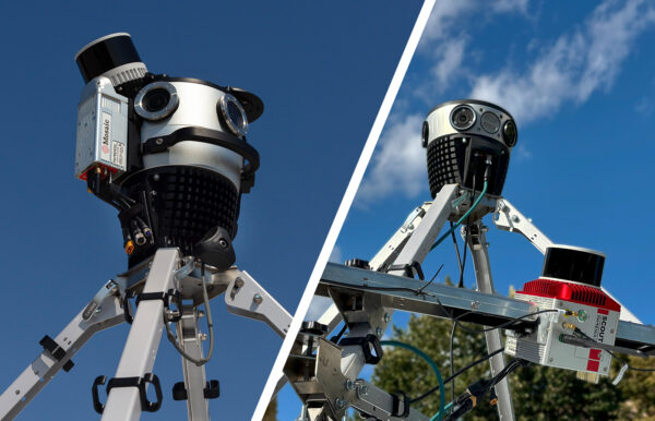
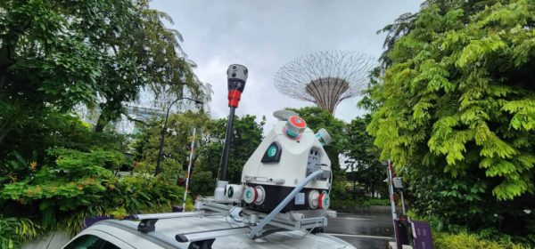
Mosaic X camera system added to greehill’s RIEGL mobile LiDAR system
greehill announces the successful integration between their RIEGL mobile laser scanners and the recently-launched Mosaic X mobile mapping camera systems.
Community
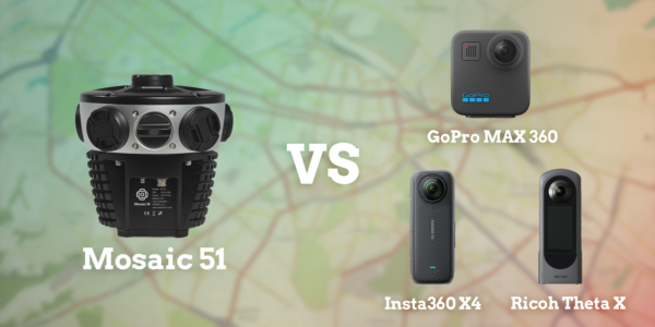
Why are Mosaic 51 Camera Systems so Good?
We talk to Mosaic’s founder and CEO to find out what makes the Mosaic 51 camera system the new industry standard.
Technology
GNSS and IMU in Mobile Mapping: How They Work Together
GNSS and IMU are the two core positioning technologies in every mobile mapping system. Learn what each does, how they work together, what GPS drift is, and why both sensors are needed for accurate geospatial data capture.