
Technology
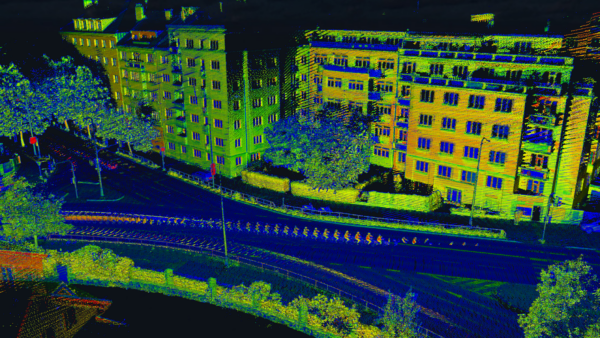
With LiDAR, Sometimes Less is More
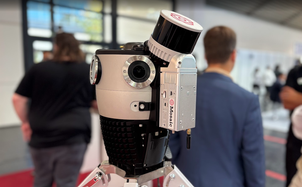
Is a point-cloud arms race really necessary? How dense is too dense for AI models?
Industry
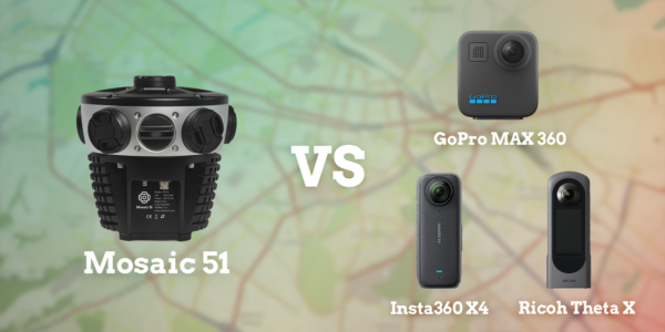
The Best 360° Mobile Mapping Cameras in 2026
A side-by-side look at the Ladybug6, Panodux DuxCam G2S, Insta360 X4, Mosaic 51, and Mosaic X to help you pick the right 360° camera for your next mapping project. Every
Featured
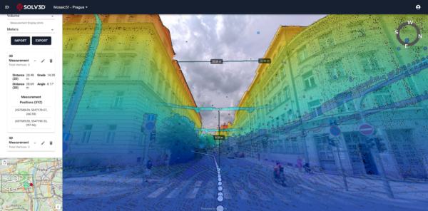
Mosaic Data and SOLV3D Streamline End‑to‑End Geospatial Applications
Mosaic is proud to announce a new partnership with Spatial Data Analytics Inc. for SOLV3D. Data captured with any Mosaic mobile mapping system can now be processed directly in SOLV3D.
Technology
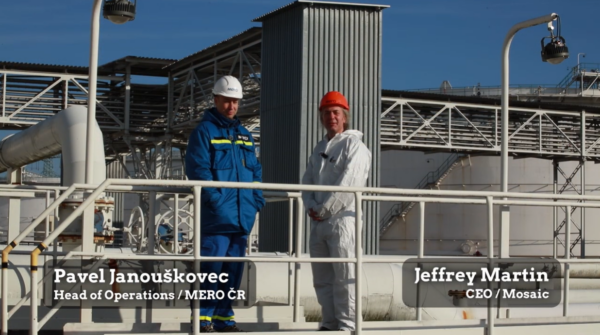
Reality Capture with the Xplor at MERO Crude Oil Facilities
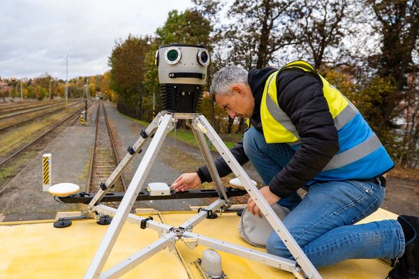
Watch the Mosaic Xplor conduct fast, accurate 3D scans of difficult-to-reach environments.
Technology
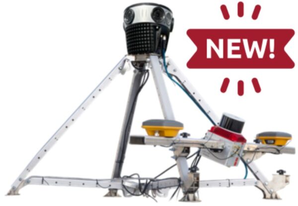
Meridian vs Meridian Lite: Which one is right for you?
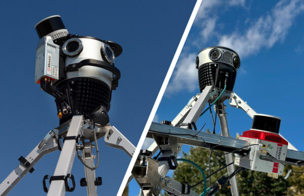
Do you need the Meridian’s “max-quality” imaging package or the Meridian Lite’s “right-sized” package?
Featured
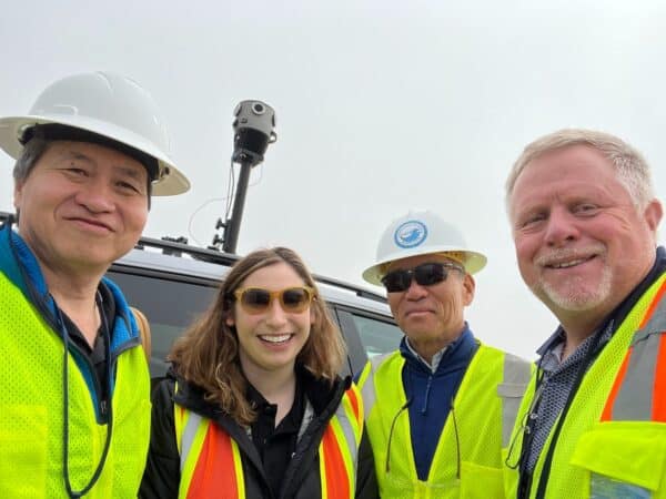
Documenting Lahaina and LA’s Wildfire Damage with Street-Level Imagery
When UCLA and the University of Hawaii’s research programs need high-resolution 360° imagery of wildfire aftermath, they turn to Mosaic cameras.