Community
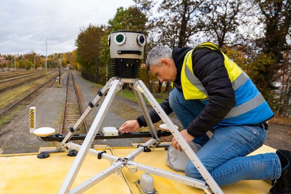
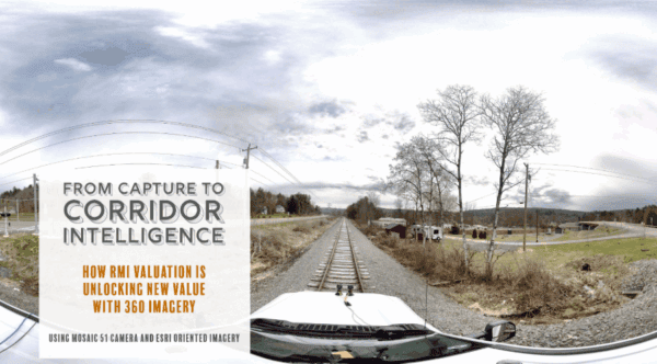
From Capture to Corridor Intelligence: How RMI Valuation Is Unlocking New Value with 360° Imagery
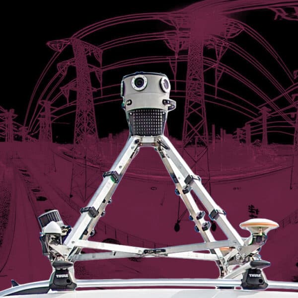
RMI Valuation is transforming the way railroad corridors are documented, valued, and managed using 360° imagery captured with Mosaic cameras.
Community
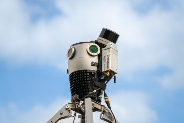
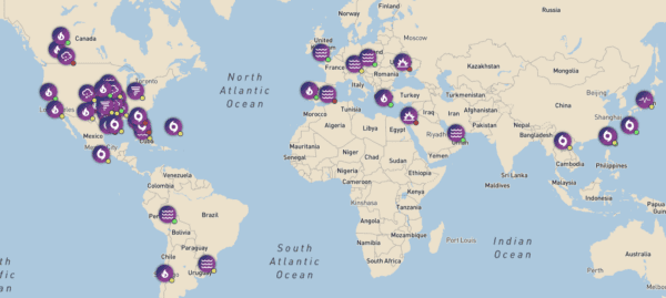
How ground-level imagery enhances disaster response and insurance claims processing
During emergencies, every hour counts. Learn how McKenzie Intelligence Services uses Mosaic’s mobile mapping camera system to speed up the insurance claim process and bring policyholders peace of mind. Financial
Featured
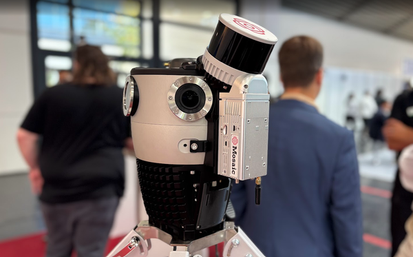
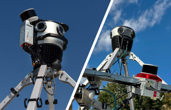
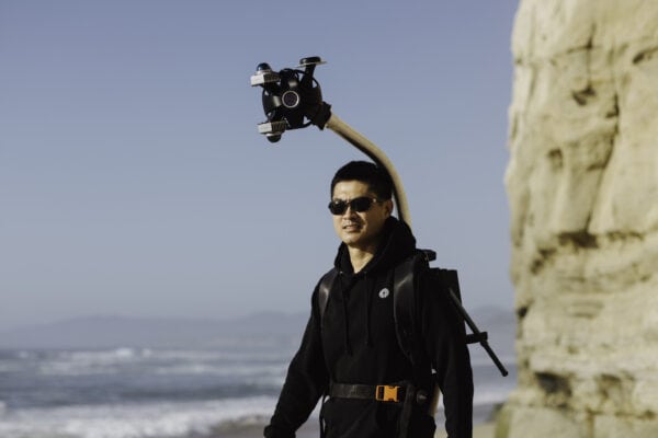
Wearable Technology with SLAM Takes You Where No Car Has Gone Before
Mosaic is pushing industry boundaries with the Mosaic Xplor, a 360º mobile mapping backpack made to explore, capture, and analyze hard-to-reach environments.
Community
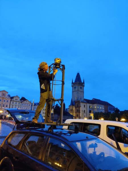
The Mosaic Prague REALMAP is here!
The Prague REALMAP dataset is a valuable asset for researchers and students looking to test algorithms, do photogrammetry, 3D reconstructions, and more.
Community
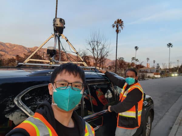
UCLA Utilizes the Mosaic X to Record L.A. Fire Damage
Mosaic had the opportunity to speak with UCLA researchers about the devastating 2025 L.A. wildfires.
Featured
Top 5 Benefits of Owning Your Mobile Mapping Data
In a world full ‘all-in-one’ solutions that lock clients into subscription plans and software vendors, Mosaic is a trailblazer in returning data ownership to its clients.
Community
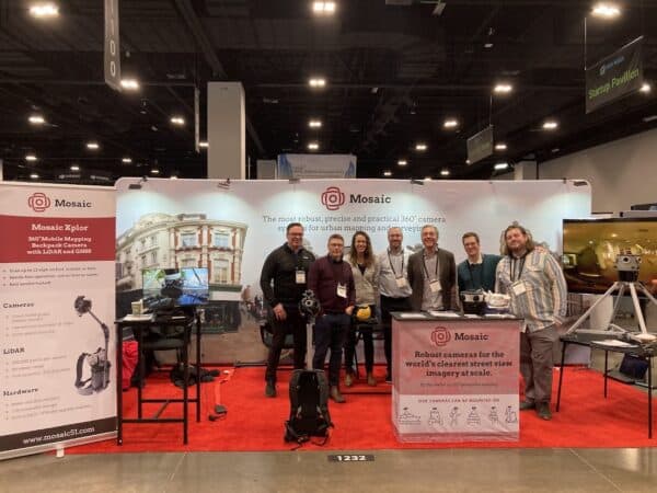
Geo Week 2025 Recap
As we look back on Geo Week 2025, Mosaic is strengthening partnerships and driving the future of geospatial imaging.
Community
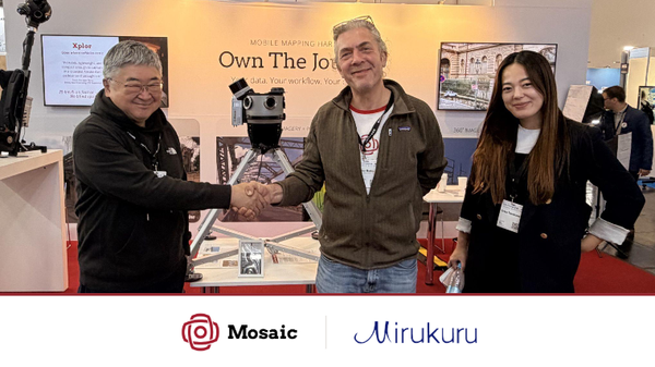
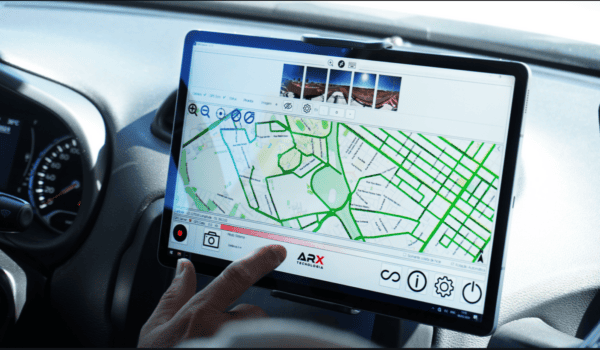
Bringing Clarity to Cadastre: ARX’s Partnership with Mosaic
Mosaic and ARX have teamed up to provide Brazil with the highest-resolution imaging available for urban infrastructure and cadastre projects.
Community
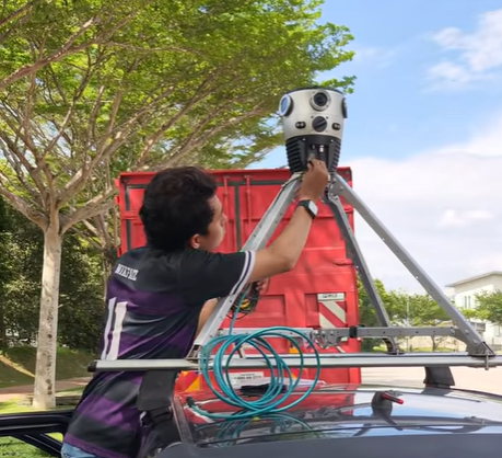
Mosaic Partners with Chulalongkorn University’s Smart Mobility Research Center
Mosaic’s collaboration with Chulalongkorn University’s Smart Mobility Research Center promises to improve 3D mapping capabilities to meet the needs of transportation infrastructure projects.