Immersive GIS with 360 Imagery: Be There From Anywhere
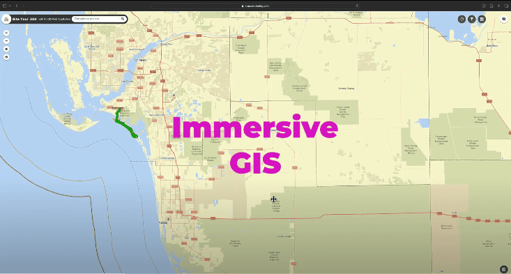
Learn about the cutting-edge applications of 360 imagery in GIS, enabling more precise and efficient project management, disaster response, and environmental monitoring.
Learn about the cutting-edge applications of 360 imagery in GIS, enabling more precise and efficient project management, disaster response, and environmental monitoring.


