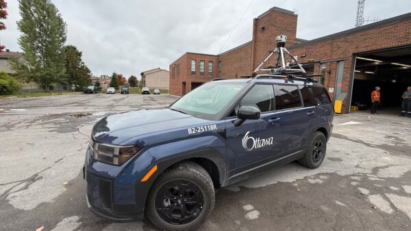
Have you seen a City of Ottawa SUV driving around the city with a camera on it?
The Mosaic Meridian got a moment in the spotlight on local Ottawa news as city officials implement Smart City technology.

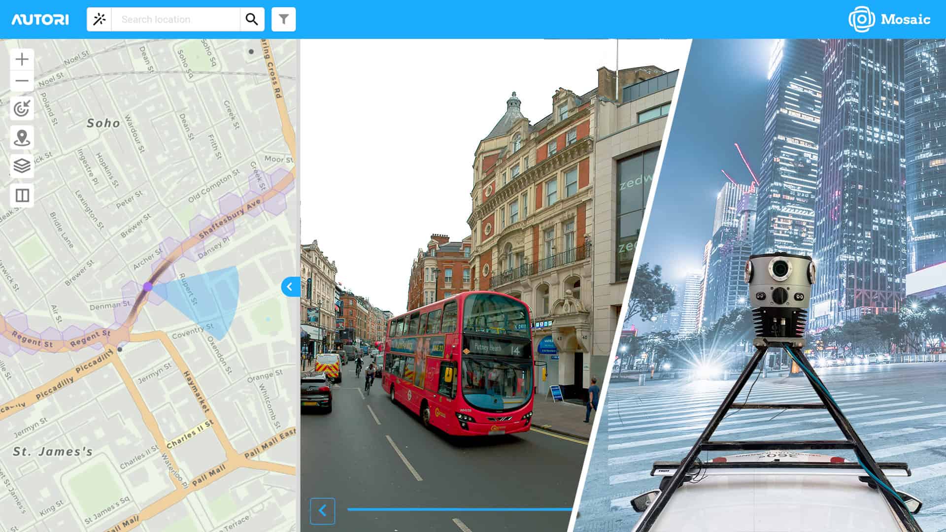
How Mosaic solutions provide up-to-date data for efficient city planning and development


The Mosaic Meridian got a moment in the spotlight on local Ottawa news as city officials implement Smart City technology.
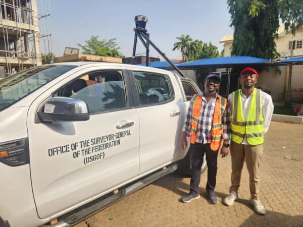
Building smart cities starts with a smart digital model. Follow Nigeria’s largest cities as they use mobile mapping to improve infrastructure.


