

meridian mobile mapping system with lidar copy 03

Introducing Mosaic Meridian 2

The Most Portable, Rigidly Calibrated,
Professional-Grade Mobile Mapping System.
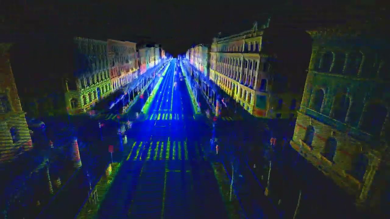
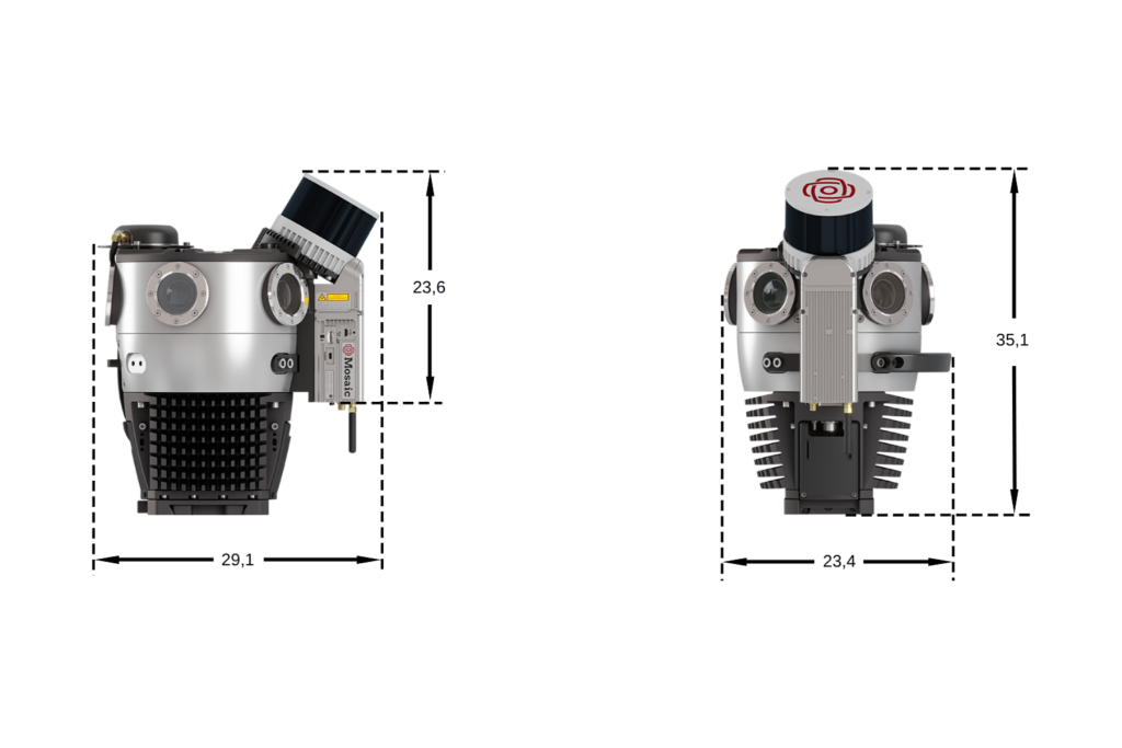
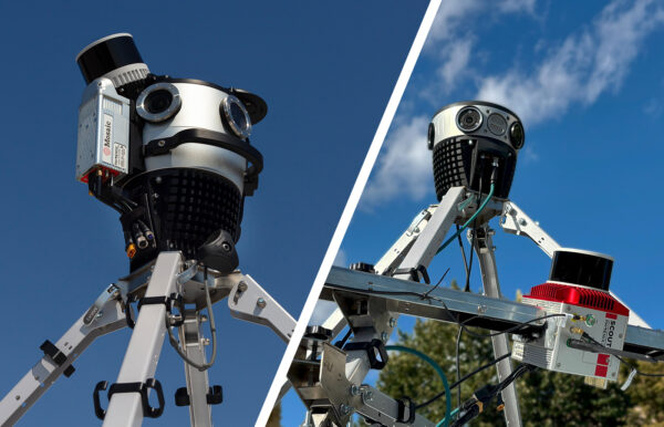
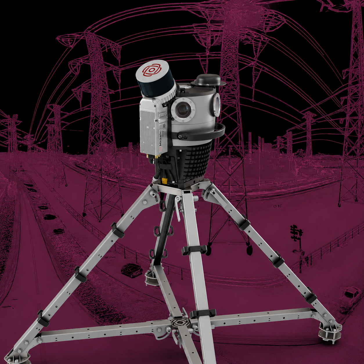
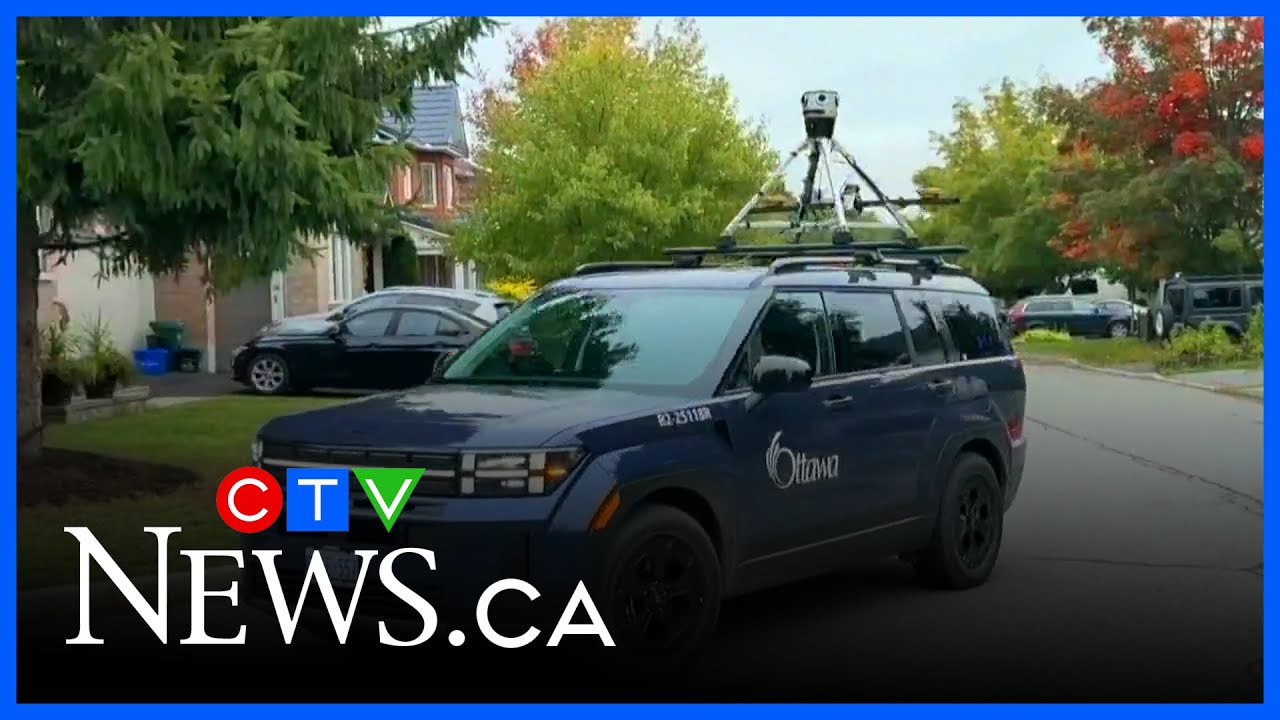
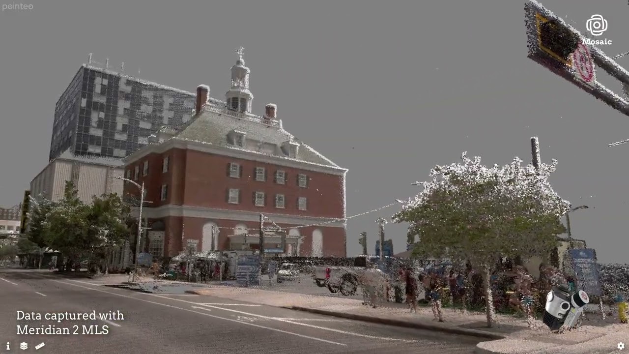
Mosaic Meridian 2 is a fully integrated 360° panoramic imaging and LiDAR mobile mapping system.
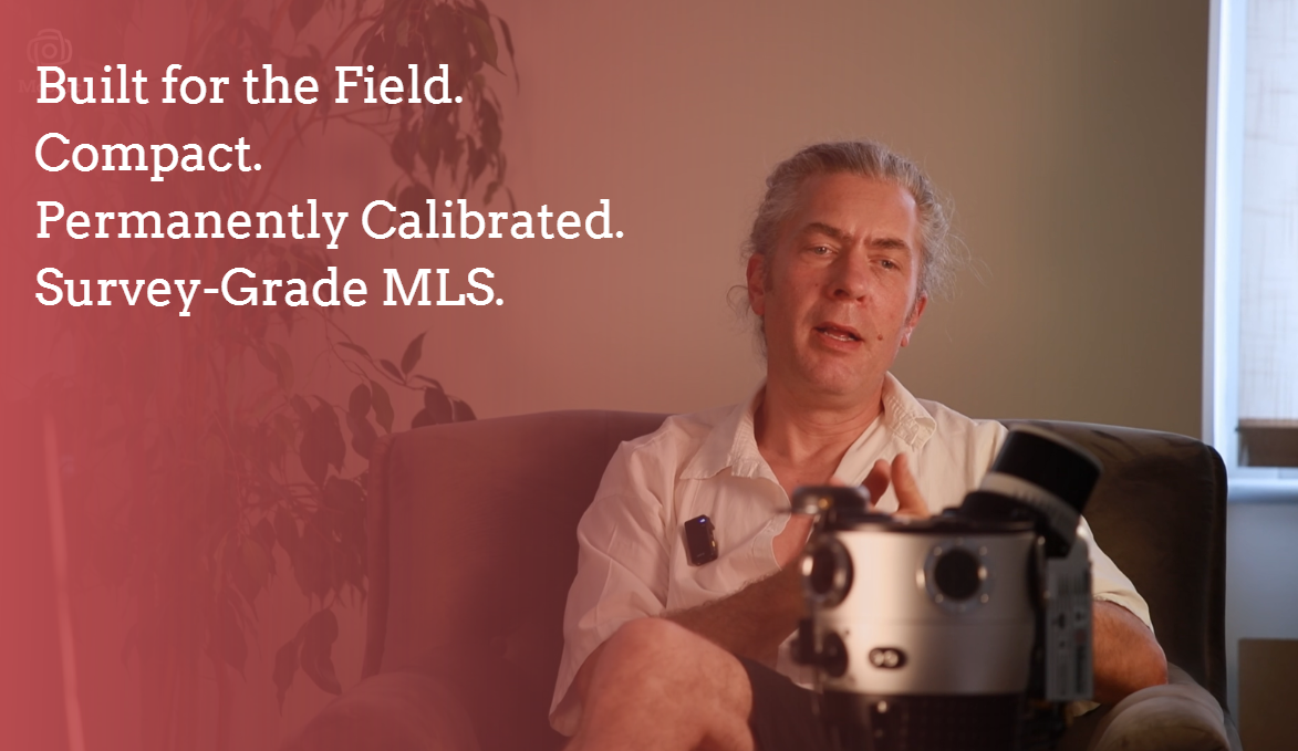
One operator, two cases, calibration built to last, and professional-grade results.
Mobile mapping that is actually mobile.
How We Set New Paths

Proven Foundation. Constantly Evolving.

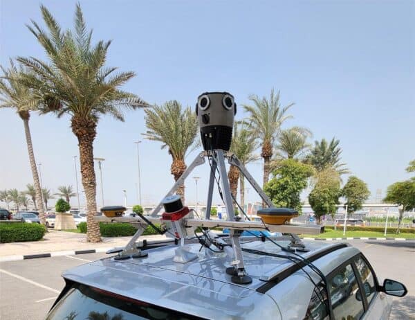
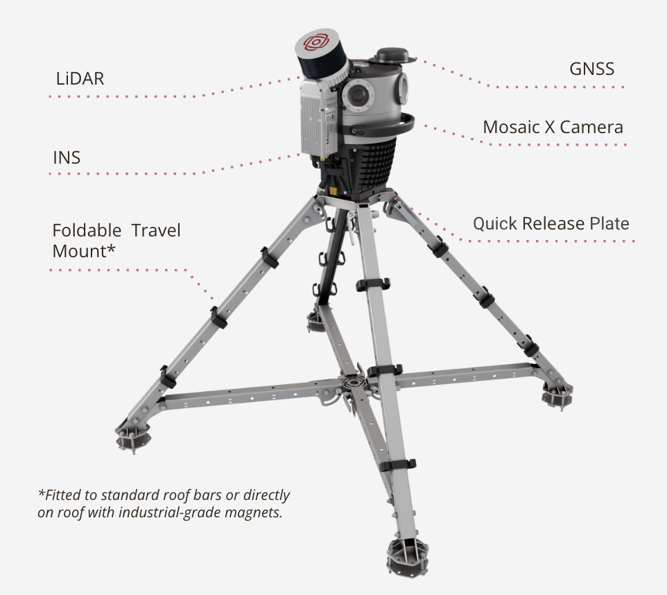
Meridian 2 pairs our in-house designed and built Mosaic X camera – six global-shutter sensors for producing 91.2 MP equirectangular panoramas – with 32-channel LiDAR and survey-grade GNSS/INS, the same class of sensors trusted across the mobile mapping industry.

That foundation doesn’t sit still: we keep refining how these systems work together, so the core you already trust keeps getting more capable, without asking you to relearn anything.

01
PORTABILITY

Two Cases. One Operator. That's It.

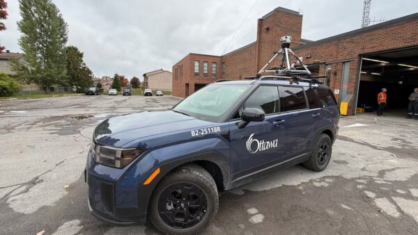
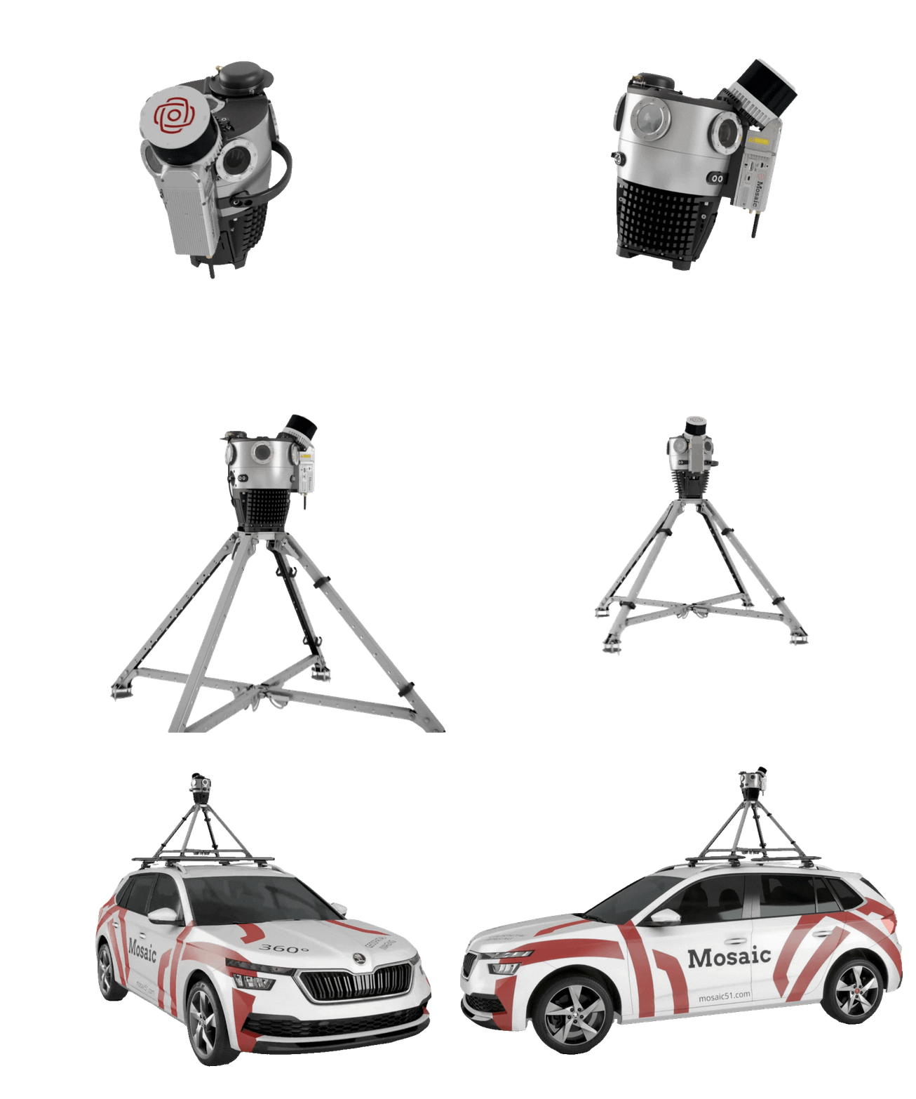
The complete system packs into two cases you carry yourself – no large crew, no separate cargo shipment. If you can carry a suitcase, you can deploy Meridian 2.

A mobile mapping system that is genuinely mobile.

02
CALIBRATION

Rigidly Aligned. Trusted Every Time.

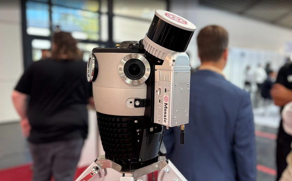
LiDAR is fixed directly to the camera, moving as a single unit. No boresight ritual before a job – alignment holds through transport, temperature, and everyday field use.

Mount it, move out, and trust it on every acquisition after that.

03
POINT OF VIEW

Elevated LiDAR. Full Coverage.

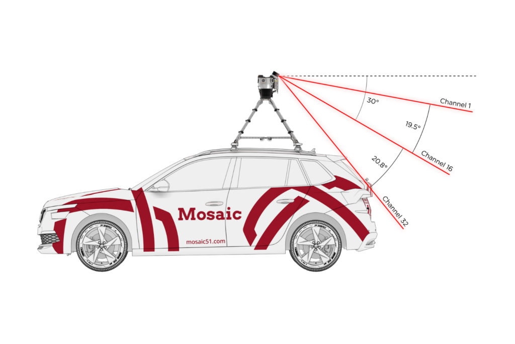
Mounted above the camera and clear of the roofline, the LiDAR gets an unobstructed 360° view. 

Get stronger returns and reliable capture of building façades and overhead assets, with nothing in its way.

04
WORKFLOW

Fast Setup. Faster Processing.

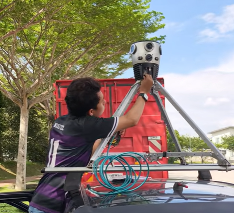
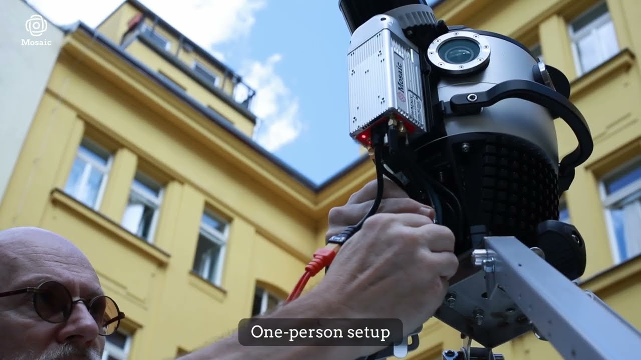
The Quick-Release mount slides in and clicks secure in seconds – no tools, no second person.

Premium systems can take 3–5× longer to process than to capture. Meridian 2 holds to a simple 2:1 ratio.

Why Choose the Mosaic Meridian 2?

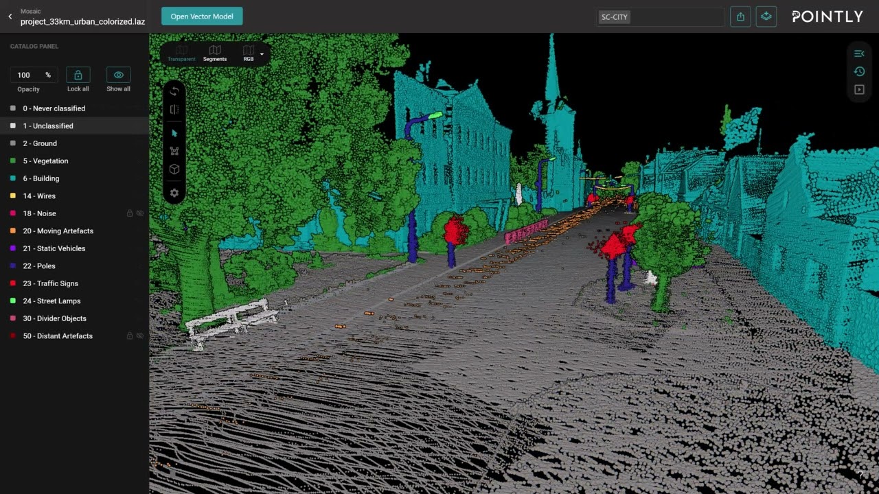
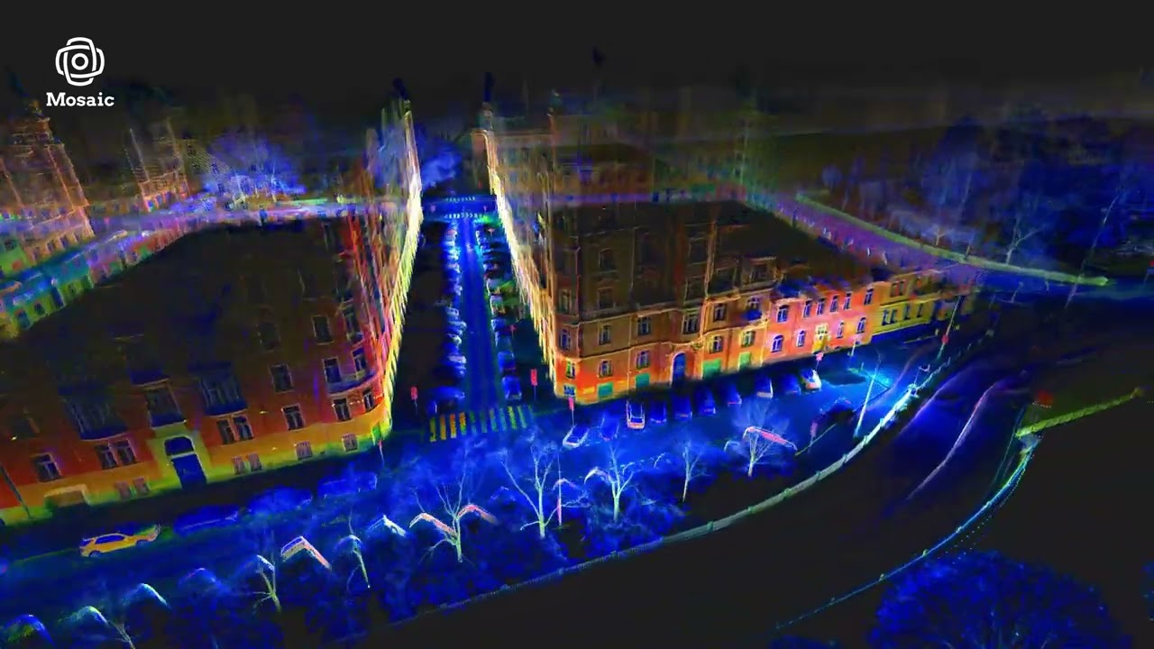
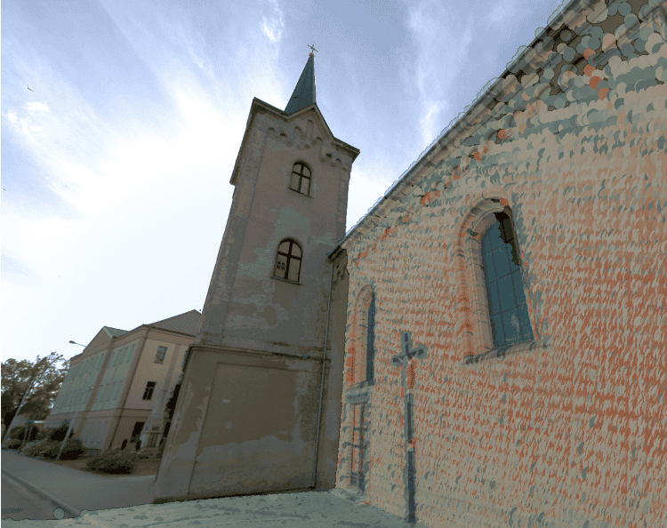
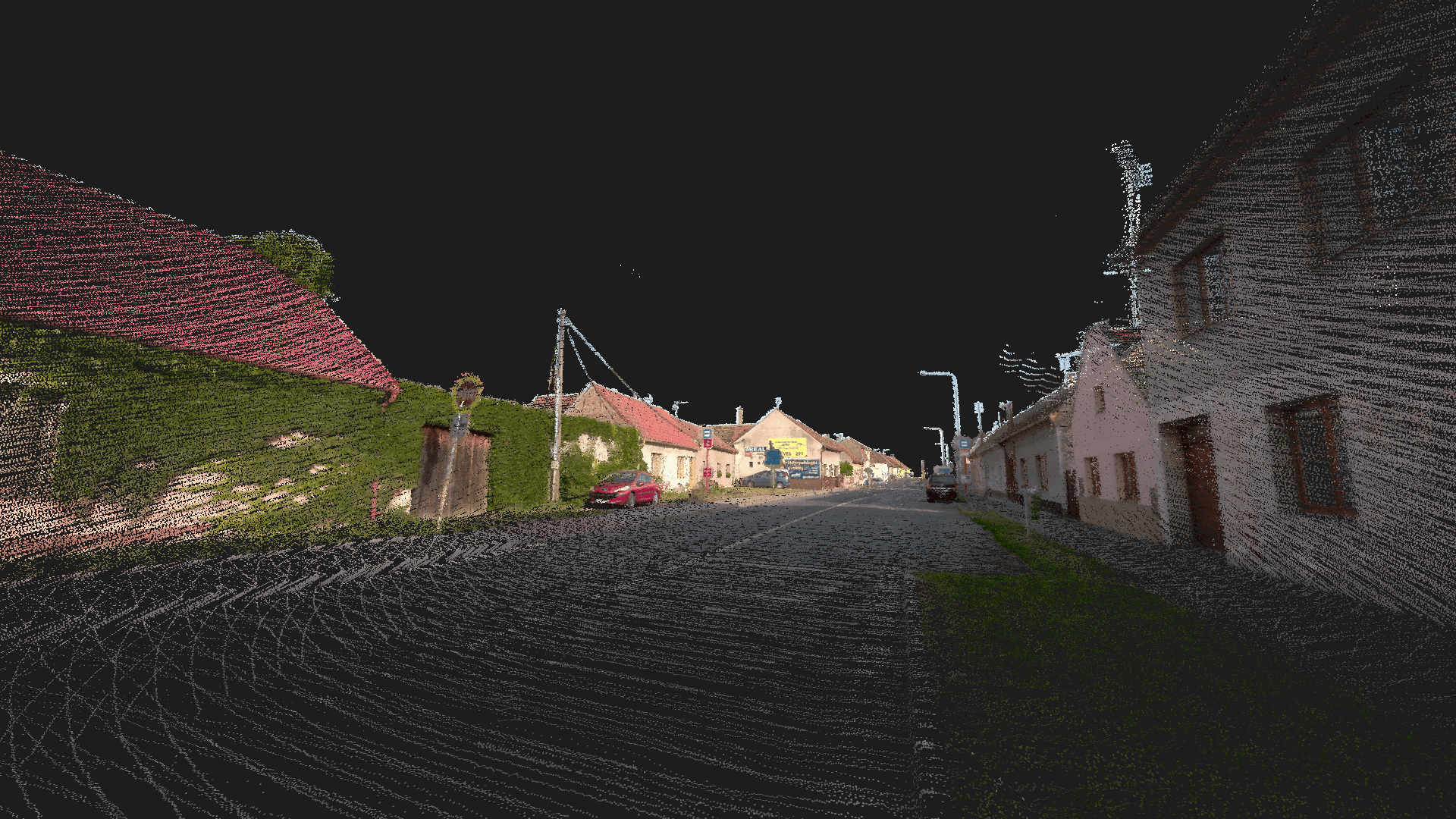
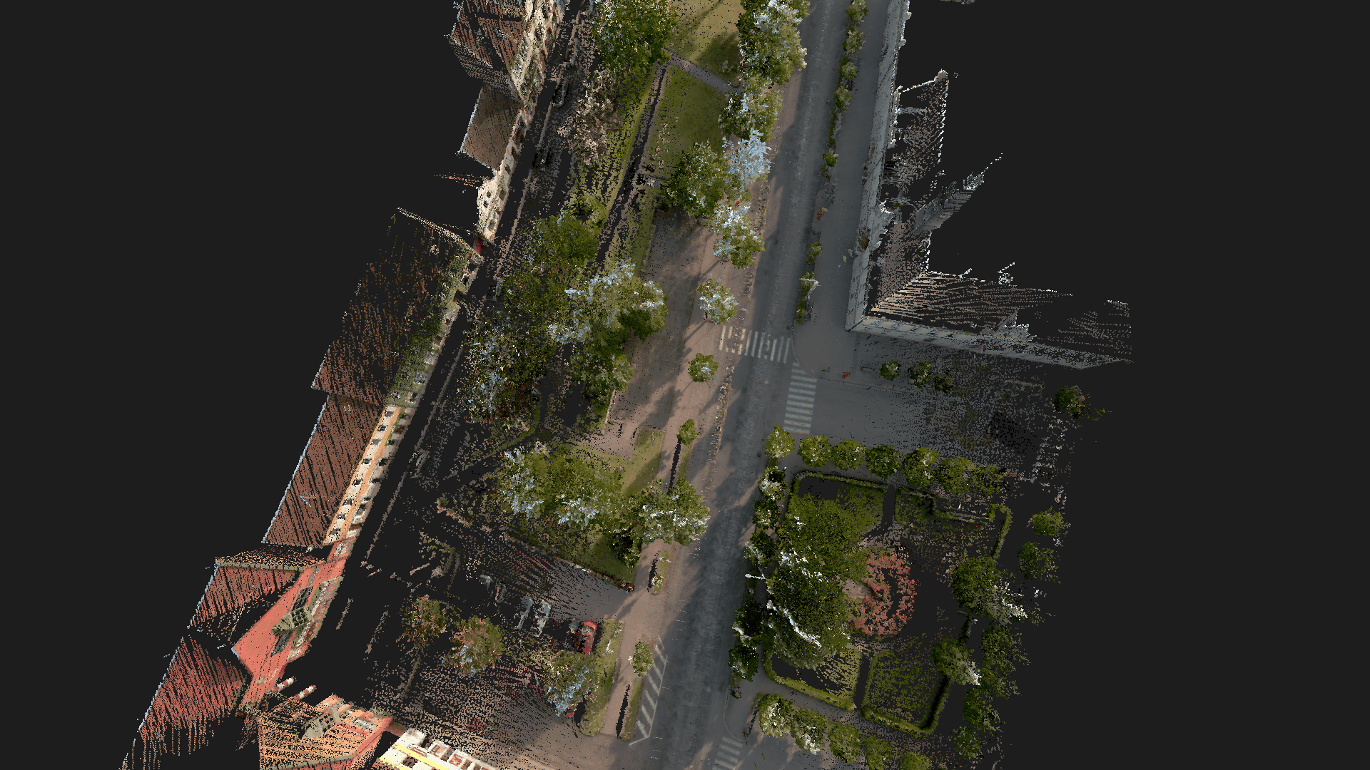
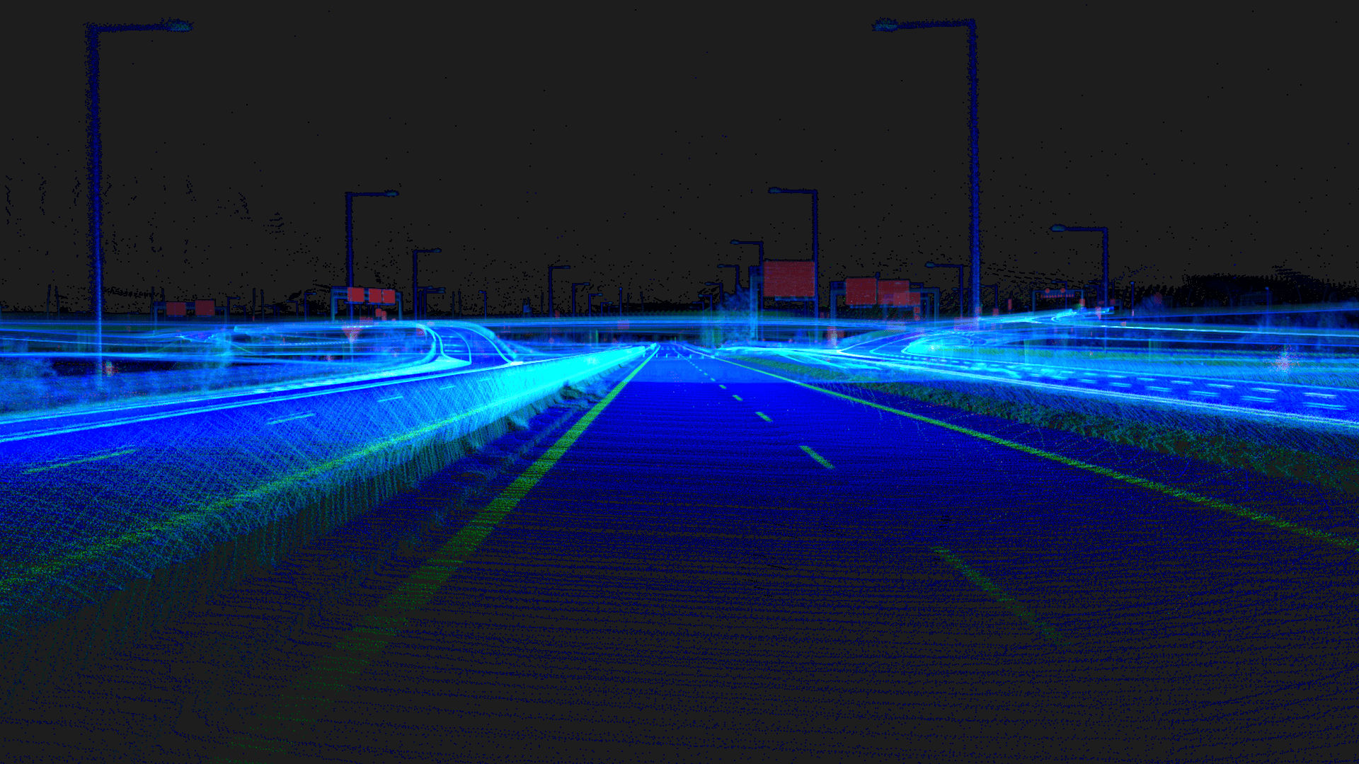
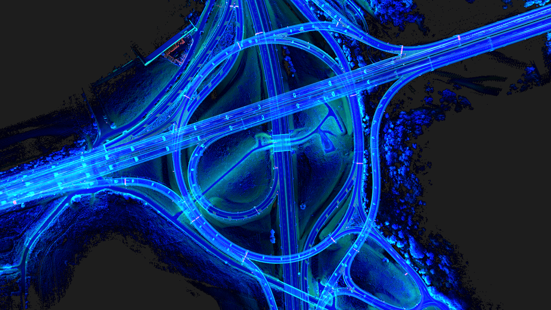
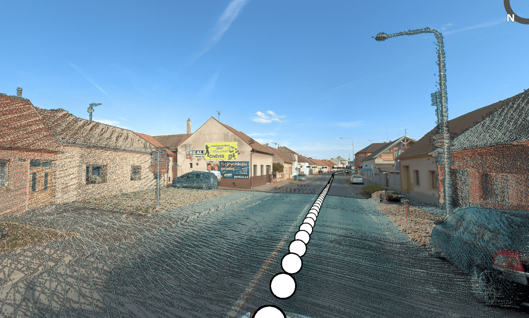
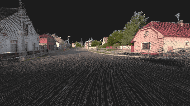
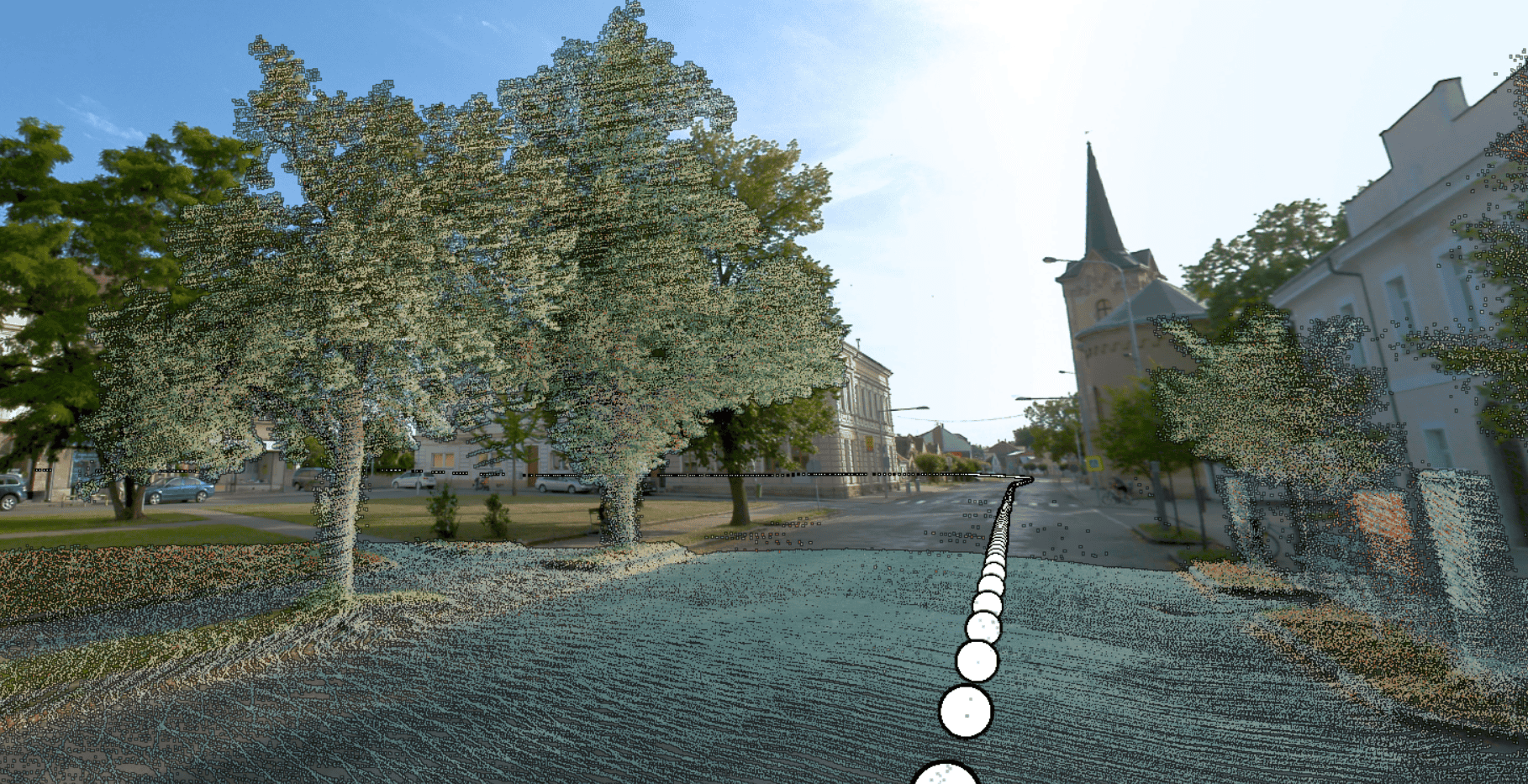
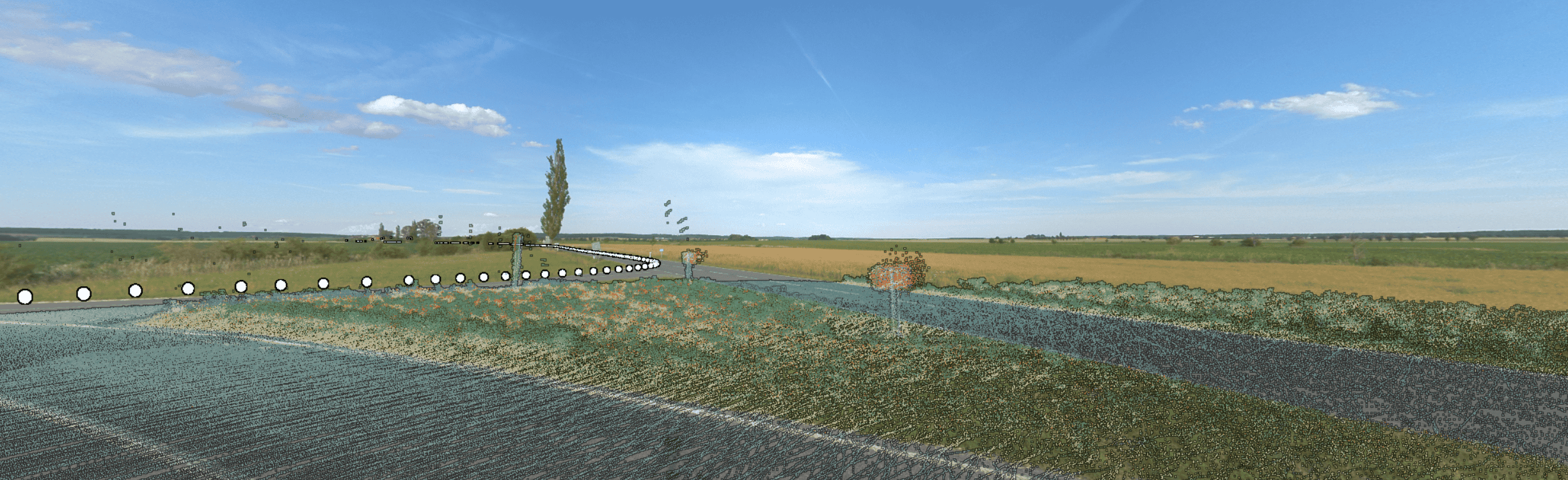
Every Meridian 2 acquisition pairs sharp 360° imagery with precise LiDAR data, captured together in the same pass – so your imagery and your point cloud always line up.

Unmatched Efficiency

Rapidly onboard any staff to operate solo. Streamline data collection and cut fieldwork time. Capture more of your project area in fewer trips.

When High-Res Imagery Matters

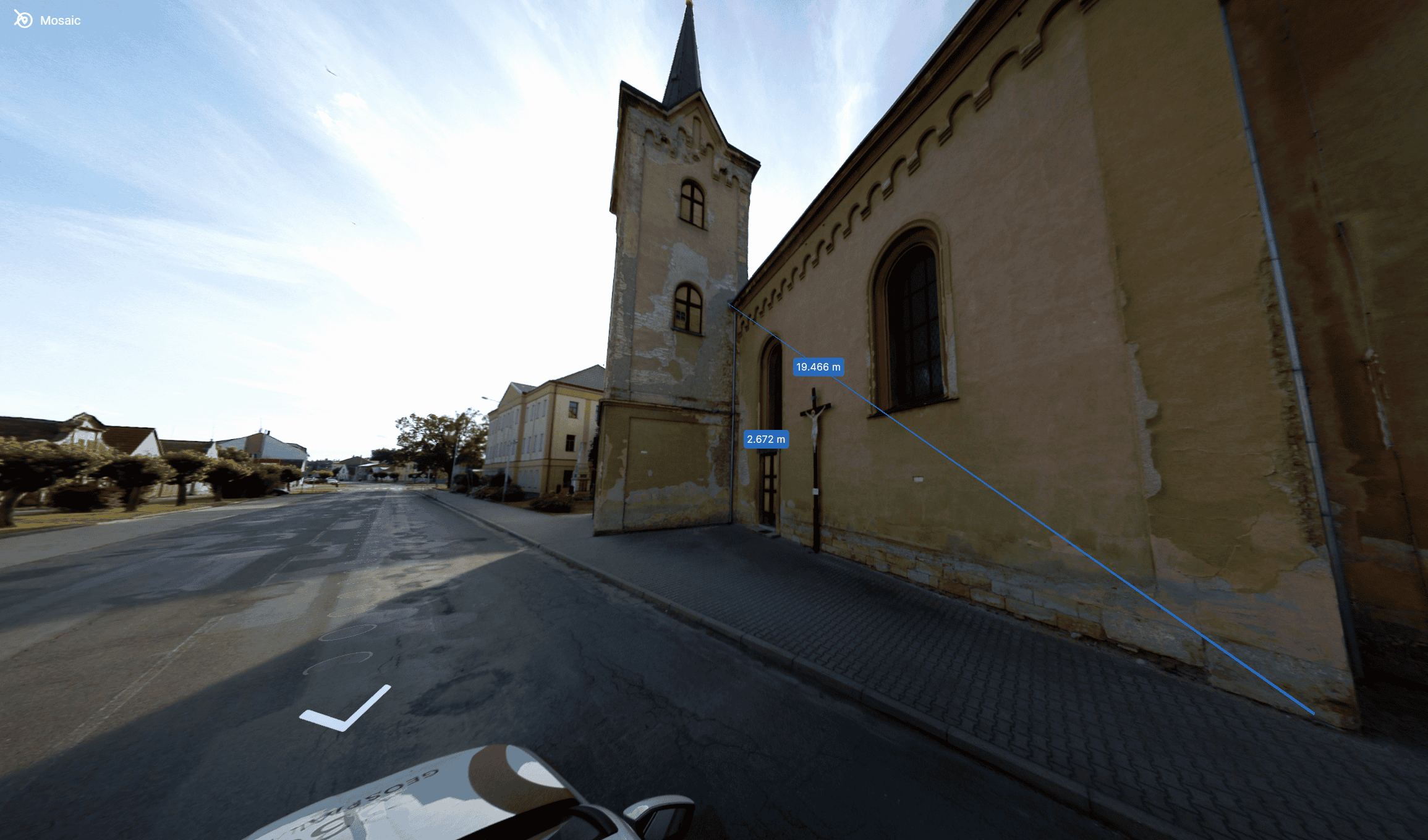
91.2 MP panoramas are sharp enough to read street signs, asset tags, and building details straight from the vehicle. No need to send a crew back out for a closer look.

Pinpoint Accuracy

1-3 cm accuracy for both imagery and point clouds, ensuring confidence in your data and decisions.

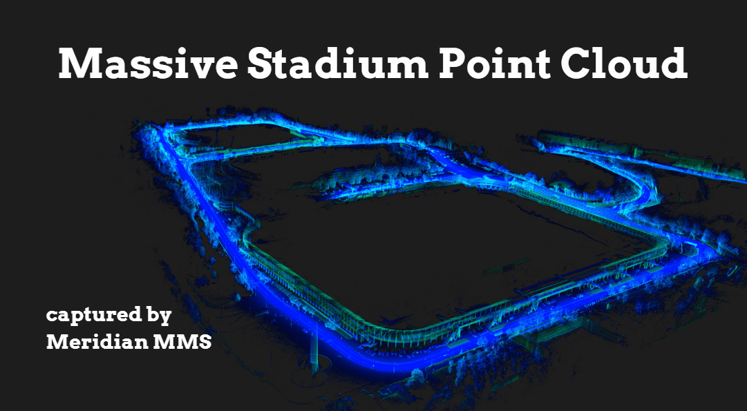
Built for Corridor-Scale Production

Built to hold up across long shifts and changing conditions - IP64-rated, 0–45°C operating range, from city corridors to remote sites.

Privacy, Built In

Automatic face and license-plate blurring, built into the Meridian 2 pipeline - ready for GDPR-sensitive municipal and telecom projects.

Confidence in the Field

Watch imagery and LiDAR returns live as you capture - know it's working before you ever leave the site.

Discover Mosaic Meridian 2 - Set Up, Collection, & Outputs

Learn how to start collecting and how to process data with Mosaic Meridian 2. 

Playlist

How Meridian 2 Compares

Survey-Grade Data. Priced for Real-World Projects.

The highest-end mobile mapping systems are excellent instruments, and for the handful of projects that genuinely need sub-centimetre absolute accuracy, they’re worth the premium – often 5× the cost of Meridian 2 or more.

For everyone else – surveying firms, utilities, infrastructure contractors, municipalities, and geospatial service providers – Meridian 2 professional-grade 360° imagery and LiDAR data built for the work most projects actually require, without the enterprise budget.

  • Entry-Level / DIY
  • Mosaic Meridian 2
  • Enterprise MLS (Leica / Riegl / Trimble)
Entry-Level / DIYMosaic Meridian 2Enterprise MLS (Leica / Riegl / Trimble)
Integrated 360° imagery + LiDARRarely integrated✓ Fully integrated, calibrated✓ Integrated
Single-operator deploymentOne person✓ One person, one vehicleOften requires 2+ operators
Near-permanent calibration✓ LiDAR fixed to camera - always aligned
Survey-grade GNSS/INSTypically not included✓ Survey-grade GNSS and IMU✓ High-end GNSS/INS
LiDAR point cloud accuracyLow to moderate✓ 2–3 cm vertical accuracySub-cm on premium configs
360° panoramic resolutionLow to moderate✓ 91.2 MP equirectangular panoramaVaries - typically lower MP
Obstruction-free LiDAR coverage✓ Elevated above roofline✓ System-dependent
Compact transport (2 cases)Varies✓ Two carry casesTypically larger transport
Non-proprietary data formatsVaries✓ Open formats, no lock-inSometimes proprietary
Compatible with standard GIS/eng. toolsVaries✓ PLS-CADD, O-Calc, ESRI, etc.✓ Yes
Typical system price rangeLower upfront, limitedContact us for pricingUp to 5× or more
  • Entry-Level / DIY
Entry-Level / DIY
Integrated 360° imagery + LiDARRarely integrated
Single-operator deploymentOften requires 2+
Near-permanent calibration
Survey-grade GNSS/INSTypically not included
LiDAR point cloud accuracyLow to moderate
360° panoramic resolutionLow to moderate
Obstruction-free LiDAR coverage
Compact transport (2 cases)Varies
Non-proprietary data formatsVaries
Compatible with standard GIS/eng. toolsVaries
Typical system price rangeLower upfront, limited
  • Mosaic Meridian 2
Mosaic Meridian 2
Integrated 360° imagery + LiDAR✓ Fully integrated, calibrated
Single-operator deployment✓ One person, one vehicle
Near-permanent calibration✓ LiDAR fixed to camera - always aligned
Survey-grade GNSS/INS✓ Survey-grade GNSS and IMU
LiDAR point cloud accuracy✓ 2–3 cm vertical accuracy
360° panoramic resolution✓ 91.2 MP equirectangular panorama
Obstruction-free LiDAR coverage✓ Elevated above roofline
Compact transport (2 cases)✓ Two carry cases
Non-proprietary data formats✓ Open formats, no lock-in
Compatible with standard GIS/eng. tools✓ PLS-CADD, O-Calc, ESRI, etc.
Typical system price rangeContact us for pricing
  • Enterprise MLS(Leica / Riegl / Trimble)
Enterprise MLS(Leica / Riegl / Trimble)
Integrated 360° imagery + LiDAR✓ Integrated
Single-operator deploymentOften requires 2+ operators
Near-permanent calibration
Survey-grade GNSS/INS✓ High-end GNSS/INS
LiDAR point cloud accuracySub-cm on premium configs
360° panoramic resolutionVaries - typically lower MP
Obstruction-free LiDAR coverage✓ System-dependent
Compact transport (2 cases)Typically larger transport
Non-proprietary data formatsSometimes proprietary
Compatible with standard GIS/eng. tools✓ Yes
Typical system price rangeUp to 5× or more

Note: Enterprise MLS comparison is generalised across Leica TRK-700, Riegl VMX series, and Trimble MX90. Specifications vary by configuration. Meridian 2 is designed to meet the requirements of the majority of asset capture, infrastructure inspection, and corridor mapping projects – not to replace ultra-high-precision instruments where sub-centimetre absolute accuracy is a hard requirement.

meridian mobile mapping system with lidar copy 09
meridian mobile mapping system with lidar copy 10
Who Uses Meridian 2

Built for Real-World Projects.

Utility & Telecom Infrastructure

Capture pole inventories, verify attachments, and support make-ready engineering at driving speed. Replace stop-and-go handheld surveys with continuous corridor capture - covering in hours what would take days on foot.

Highway & Road Asset Management

Collect pavement condition data, roadside asset inventories, and safety barrier inspections up to 90 km/h. Covers large networks efficiently with the detail needed for condition monitoring and compliance documentation.

Municipal Asset Inventory & Digital Twins

Map street furniture, signage, ADA infrastructure, and utilities across an entire city network. The 91.2 MP equirectangular panoramas resolve asset tags and sign text from the vehicle - no bucket trucks, no lane closures.

Corridor Mapping & Construction Verification

Document rights-of-way, capture as-built conditions, and produce survey-grade deliverables for engineering design. Ideal for broadband buildout verification, grid hardening, and infrastructure planning.

Geospatial Service Providers

Expand your service offering without expanding your crew. A single operator can mobilise, collect, and deliver professional-grade LiDAR and 360° imagery data - in open formats that work with your existing processing pipeline.

Rail Corridor Survey & Asset Inspection

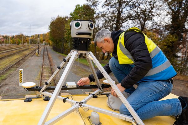
Map track-side assets, document vegetation encroachment, and build accurate digital twins of rail corridors at speeds up to 90 km/h - mounted on hi-rail vehicles or directly on train cars. Replace manual lineside inspections with continuous corridor capture that delivers LiDAR point clouds and 360° panoramic imagery in a single pass, supporting asset inventory, clearance analysis, and construction progress reporting.

Discover Real Customer Success Stories

There’s no better testament to product quality than real customer experiences. Delve into our case studies to explore the challenges we’ve successfully addressed!

Customer testimonials

Discover how Mosaic enhanced workflows and facilitated captivating visuals.

High-Resolution Data On the Go

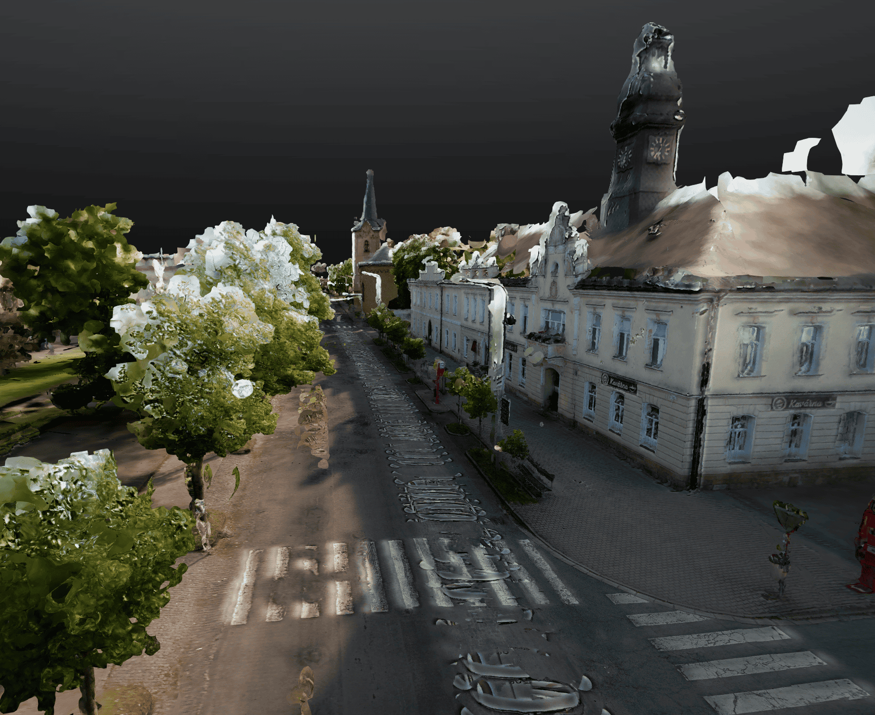
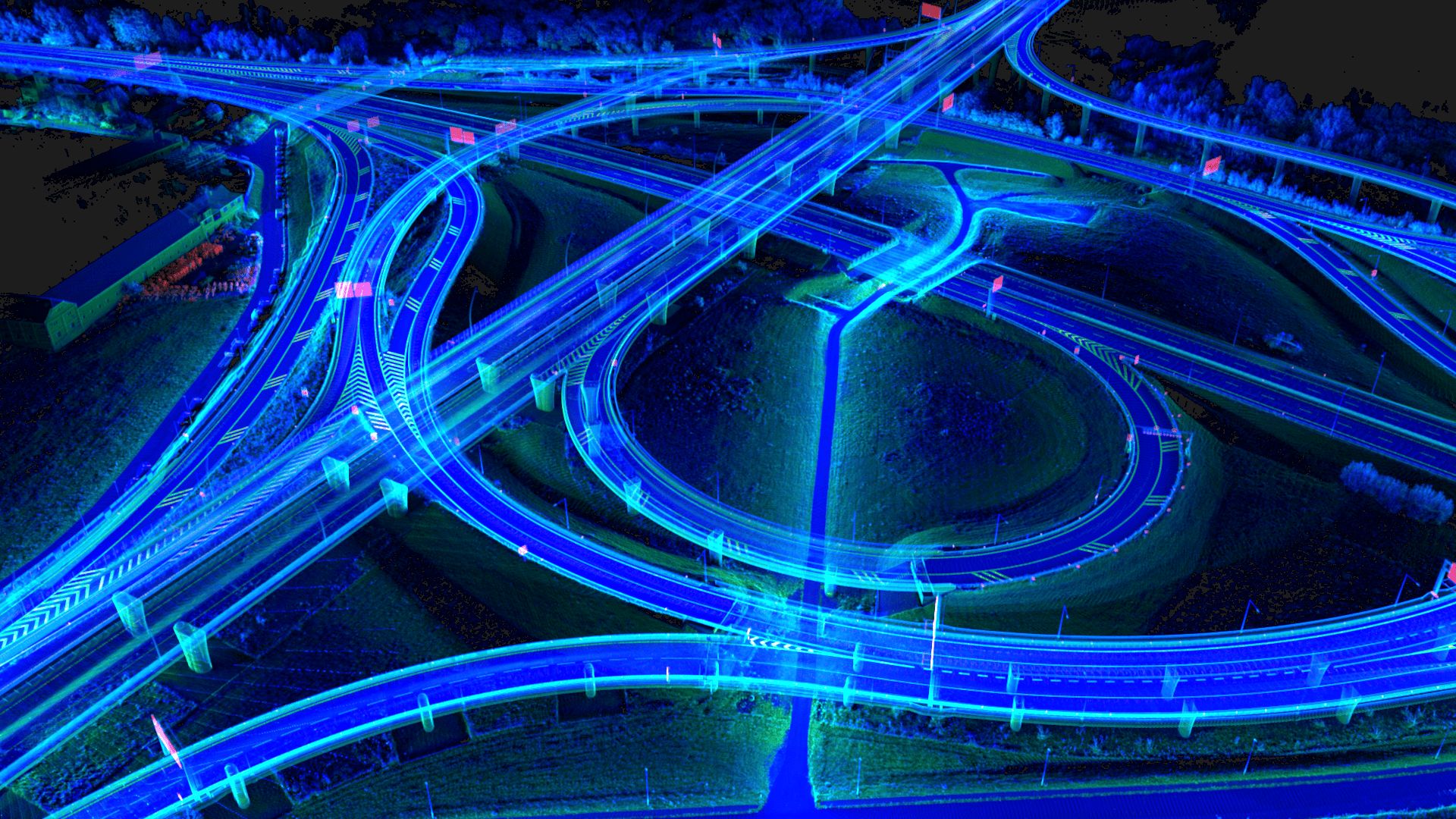
See how Meridian 2 captures detailed point clouds and panoramic images with unparalleled accuracy.

A Look Under the Hood

Technical Specifications

Mosaic X Camera
Equirectangular Resolution 91.2 MP
Field of View 360° × 139°
Shutter Type Global
Maximum Frame Rate 10 FPS
Rendered Panorama Width 13.5k pixels
IP Rating IP64
Storage Removable 1TB micro-SD Express
LiDAR Sensor
Laser Channels 32
Pulse Rate 640k / 940k / 1,200k pts/sec
(single / dual / triple return)
Laser Range 0.5 to 150m
(80m @ 10% reflectivity, all channels)
FOV Horizontal 360°
FOV Vertical 40.3°
Scan Angle (Vertical) −20.8° to 19.5°
Number of Returns 3
Ranging Precision 0.5 cm (1σ, typical);
1 cm standard
Ranging Accuracy ± 1 cm
System Vertical Accuracy 2–3 cm
INS – Inertial Navigation System
GNSS GPS, GLONASS, BEIDOU, GALILEO
Frequencies L1, L2, L5(6)
Operation Modes RTK and PPK
Position Accuracy 1-2.5 cm + 1 ppm RMS (RTK);
0.5 cm (PPK)
Pitch / Roll Accuracy 0.03° RMS
Heading Accuracy 0.01° RMS
Example Acquisition Performance
Urban – 40 km/h (25 mph) Up to 900 pts/m² @ 10 m
Highway – 90 km/h (55 mph) Up to 400 pts/m² @ 10 m
(1) Approximate values based on PLS test conditions. (2) Range of elevation values on flat surfaces with >20% reflectivity at the laser's wavelength. (3) Estimated for surfaces perpendicular to the beam path.
meridian mobile mapping system with lidar copy 08
FOR STANDALONE MOSAIC X OWNERS

Already Own a Mosaic X Camera? You Can Upgrade to a Full Meridian 2 System.

If you are already using a Mosaic X camera, you are closer to a complete Meridian 2 mobile mapping system than you might think. Send us your camera and we will integrate the LiDAR and INS unit directly onto it – along with everything needed to deploy as a complete, field-ready system. You get the full Meridian 2 capability: 32-channel LiDAR, survey-grade GNSS/INS, and your existing Mosaic X camera, all in one integrated, calibrated unit.

Contact us to discuss your setup and we will walk you through the upgrade path.

Ready to See What Meridian 2 Can Do?

Whether you’re evaluating for a specific project, replacing an existing system, or expanding your service offering – we’re happy to walk you through the system, share sample data, or put together a quote.

Request a Quote

Tell us about your project and we’ll come back with a tailored proposal. Lead time is 4–6 weeks from order confirmation.

Get Sample Data

See Meridian 2 data before you commit. We’ll share point clouds and 360° imagery from real acquisitions.

Ask a Question

Not sure if Meridian 2 is right for your application? Talk to our team.