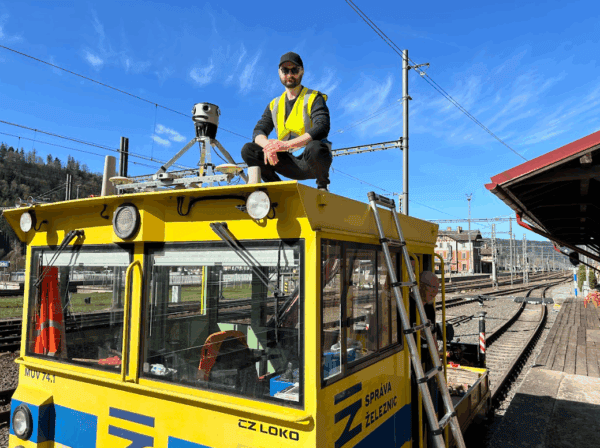
Keep Railway Projects on Track with Mosaic and AirView
Our cameras aren’t just for cars! AirView and Mosaic mounted a camera onto a train to capture georeferenced imagery of railway corridors.
Mosaic 360° cameras are ideal for gathering data with the sub-centimeter accuracy required by rail authorities


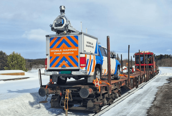

Our cameras aren’t just for cars! AirView and Mosaic mounted a camera onto a train to capture georeferenced imagery of railway corridors.
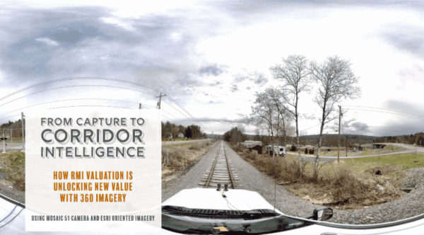
RMI Valuation is transforming the way railroad corridors are documented, valued, and managed using 360° imagery captured with Mosaic cameras.
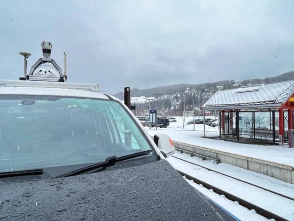
Customer success story: Field builds innovative MMS with Mosaic X and LiDAR to scan railways in Norway with high precision.


