Assisted AI-based Feature Extraction in Mobile Mapping
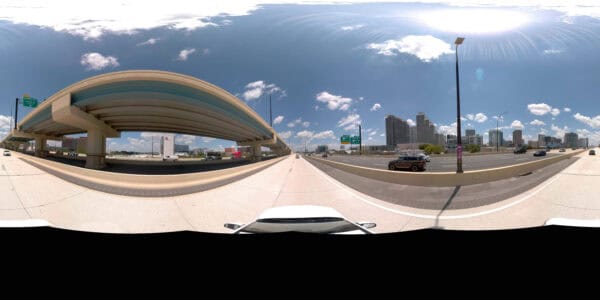
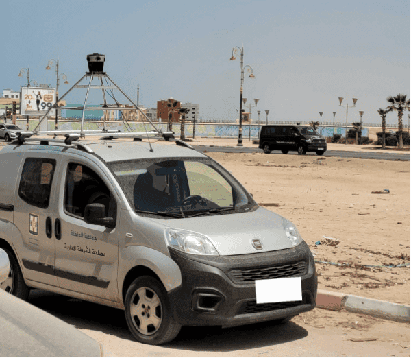
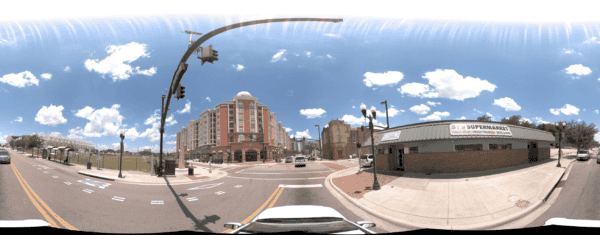
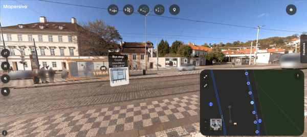
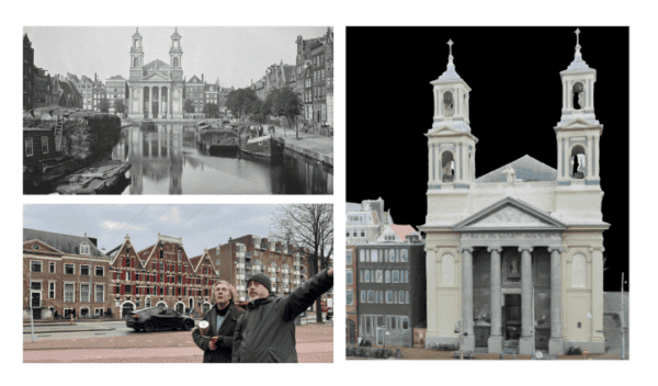
Explore how Mosaic’s advanced 360-degree imagery, captured using high-resolution cameras, enhances AI-assisted feature extraction and asset recognition in mobile mapping applications.
Latest post
Explore how Mosaic’s advanced 360-degree imagery, captured using high-resolution cameras, enhances AI-assisted feature extraction and asset recognition in mobile mapping applications.
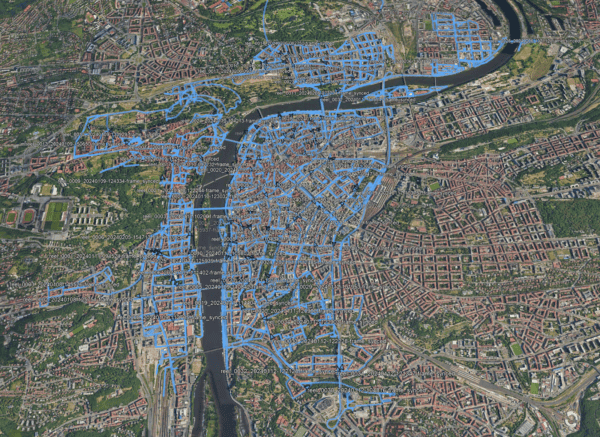
Access 15 terapixels of Prague’s detailed imagery for your research, for computer vision, photogrammetry, point cloud generation, 3D modeling and more!
Discover how Mosaic’s team of 2 and their advanced 360-degree camera and LiDAR technology transformed the production of “The Ice Cream Man,” enabling high-fidelity 3D imagery for VFX production.
An Emmy-winning VFX supervisor reviews the Mosaic Xplor, highlighting its innovative design and impact on the VFX industry. This portable 360° scanning backpack, with high-resolution cameras and LiDAR, excels in capturing detailed imagery in challenging areas.
Remote visits and surveys increase safety, efficiency and allow more decisions makers to take part. Learn more.
The combination of 360 imagery with GIS, especially 3D GIS and Reality Mapping brings a new level of detail and immersion to spatial analysis and visualization.
Product or partnership inquiries?
Interested in more info?
Send a request and we’ll be happy to help.
At Mosaic we are pushing the limits of HD mapping; our mission is to build a better view of the world.
Just like our cameras, our insights keep you up-to-date on Mosaic and the 360º world. Sign up to stay updated.
© 2020-2024 Mosaic. All rights reserved.
Branding & Design: Brandician