


Featured
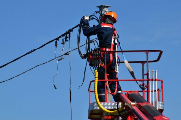
How mobile mapping is replacing the walkout in broadband make-ready
If you have recently received BEAD funding, the most consequential decision you will make is how you conduct your make-ready survey.
Featured
Mosaic at 3DISE 2026
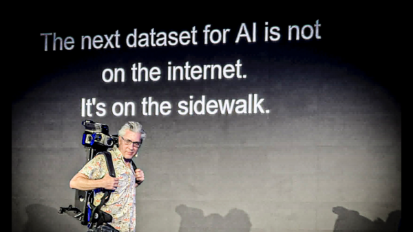
Our CEO presented at the 2nd annual 3DISE conference, held right in our hometown of Prague.
Featured
Where are the Buddhist Robots?
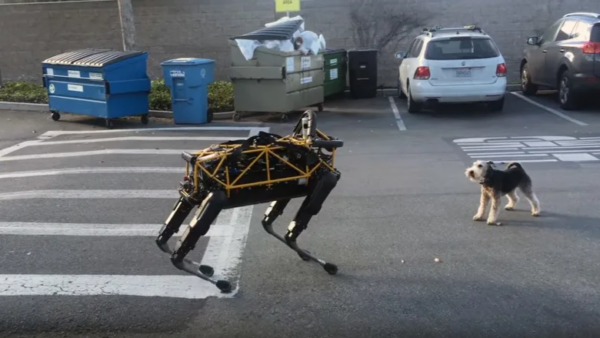
Why can a human mind do things a computer can’t? Why can even a dog mind do things a computer can’t? How would we build a robot that can?
Technology
What is a World Model? Part One
Lots of us are finding our sea legs with our new friend the LLM – as we did 30 years ago with the explosion of the World Wide Web – wondering what kind of unknowable changes we are facing as a civilization.
Featured
Mosaic introduces a city-scale 3D reconstruction tool for street-level mobile mapping
“Large-scale and simple” – High-resolution 360° imagery can now be automatically transformed into city-scale Gaussian Splats, photorealistic 3D models, and dense point clouds
Industry
Everything you need to know about the BEAD Program
Answering your frequently asked questions about the Broadband Equity, Access, and Deployment (BEAD) program in 2026
Featured
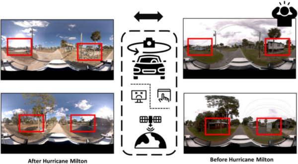
How Texas A&M is Pioneering Damage Assessment Using Mosaic Imagery from Hurricane Milton
Researchers at Texas A&M are using Mosaic-captured imagery to develop disaster resilience frameworks that bridge the gap between satellite data and ground truth
Featured
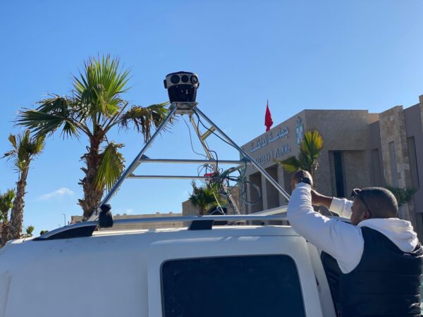
Moroccan city finds $300,000/yr of lost tax revenue with Mosaic 51
Developing countries have unique cadastral mapping challenges that 360° street-view imagery can mitigate. Today, we head to Morocco to see how the city of Dakhla saw an immediate ROI with two Mosaic 51 mobile mapping cameras.
Technology
I Didn’t Set Out to Build an Artificial Brain. I Set Out to Document the World.
LLMs will not achieve AGI. We need something else, but where will the training data come from?