Community
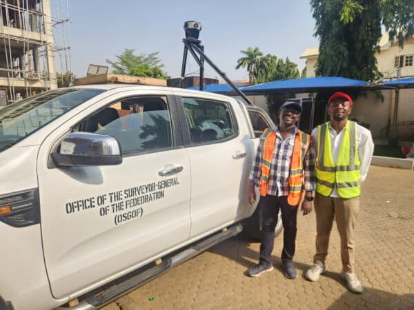
Building Smart Cities in Nigeria
Building smart cities starts with a smart digital model. Follow Nigeria’s largest cities as they use mobile mapping to improve infrastructure.
Technology
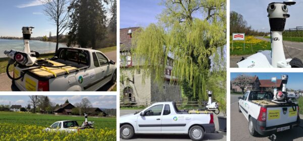
Our Favorite Mosaic Integrations
Mosaic’s cameras are specifically designed to capture high-resolution 360° images and integrate with external sensors.
Technology
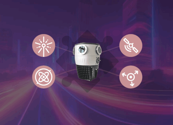
Built for Integration: 5 Reasons Mosaic Cameras Work Seamlessly with External Sensors
Build a seamless integration with Mosaic cameras and your preferred external sensors.
Technology
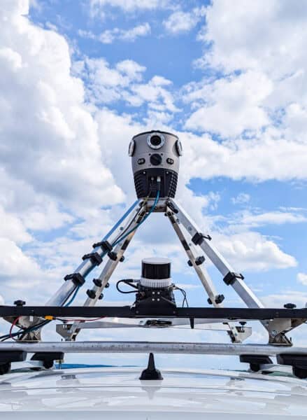
IGI Integrates the Mosaic X into the StreetMapper-V for Orbis360
IGI successfully integrated the Mosaic X camera onto the existing StreetMapper-V platform.
Featured
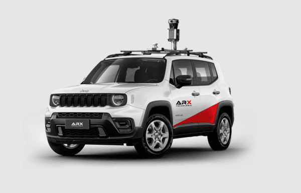
360° Mapping in Urban Infrastructure Management: Revolutionizing Asset Registration and Monitoring
Learn about the revolutionary uses of 360° mapping in this guest-authored article by our Brazilian partner, ARX.
Community
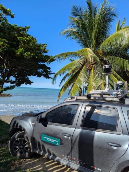
Fly North: Integrating Street View Mapping with Drone Surveying
Discover how the Mosaic 51 improved Fly North’s ground capture capabilities to map 4,500 km of Colombia’s toughest environments.


