Featured
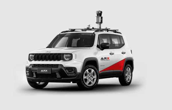
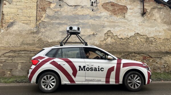
Mosaic welcomes Brazilian partner ARX
Mosaic partners with ARX, bringing pioneering 360° mapping technology to Brazil’s urban and geospatial sectors. This strategic collaboration combines Mosaic’s innovative 360° cameras with ARX’s local expertise, setting new standards for precision and efficiency in mapping and surveying across South America.
Community
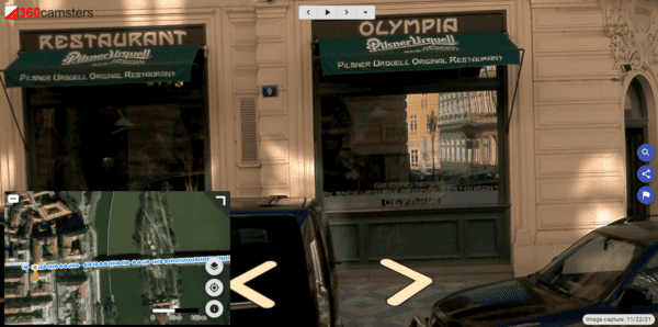
Understanding the Implications of Poorly Documented Addresses
Explore the economic fallout of poorly documented addresses and learn how Mosaic’s imaging tech transforms e-commerce, logistics, and finance solutions.
Featured
Road Trip with the Mosaic X Camera System
Check out what it’s like to drive 1,691 miles (2,721 km) over 5 days with one camera and NO failures! Join Mosaic on the road trip from Colorado to Florida.
Industry
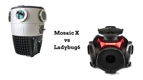
Advancing Mobile Mapping: Mosaic X Camera System versus Ladybug6 Camera
Two years into the launch of the Mosaic X camera system and Ladybug6 camera, find out what the market is saying.
Featured
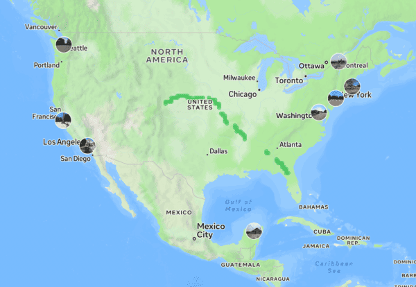
Where in the world are Mosaic cameras?
Explore the global impact of Mosaic’s revolutionary 360º mobile mapping cameras. Discovery unique case studies and stories from across diverse industries and geographical locations, showcasing the transformative power of Mosaic’s technology.
Industry
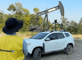
Streamlining Pipeline Management for Oil and Gas Companies
Explore how Mosaic Imaging Solutions reshapes oil and gas pipeline management through cutting-edge technology, 360-degree surveying, and impactful collaborations.


