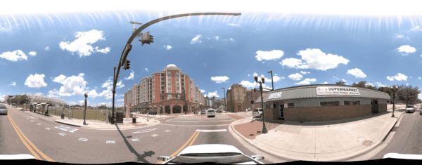
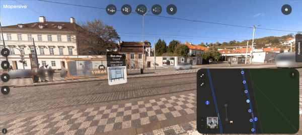
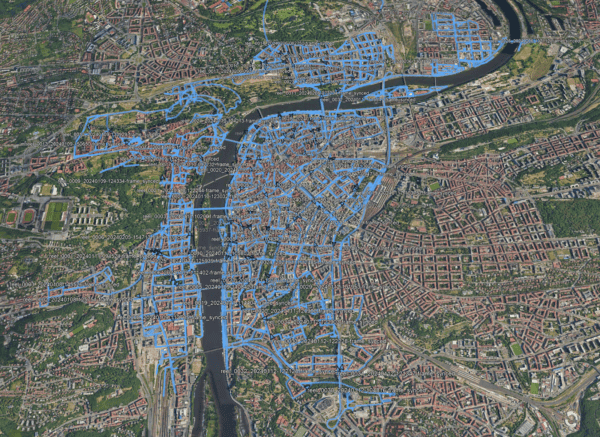
The Google Street View Camera and Cars are the most well-known in the street-level viewing game. But do you know the cameras behind it? And other available options?
Google is a household name.
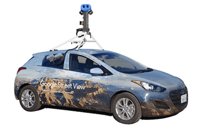
The Google Street View car is also a fairly well-known vehicle. Less attention is placed on the cameras riding atop the car, however, it is these cameras that are the star of the show and help people when orienting Google Maps.
To learn more about industrial 360º mobile mapping cameras for GIS surveying and infrastructure maintenance that capture data in a similar fashion to Google Street View cars and cameras, check out this article here.
And to see what it would look like from within a street view mapping car, check out this video below.
- Press play
- Stop the video.
- Move around within the video.
- Press play again.
Here we discuss the best cameras used for 360° street view, the vehicles that transport them, and the clever features that make them rather brilliant.
Google Street View
A nice attribute of Google Maps is its Street View.
Once Google Maps is open, on the bottom right of the page is a little yellow man (named ‘Pegman’) which you can drag to any point of the map, and he’ll drop down and place you right on the street.
It’s very clever, and as long as the road is larger than a small woodland trail in New Guinea, you’ll be transported right to it.
British comedian Michael McIntyre makes an excellent observation when using this feature for the first time. You have the entire world to view – any country, any road, the options, the possibilities! What do people look at first?
Their own house.
Familiarity breeds contempt but it also brings comfort, and it’s quite a sight to see your residence on Street View, to check if your car is in the driveway or if the dogs are playing in the garden.
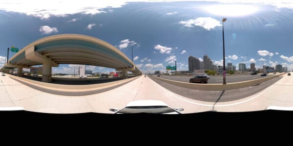
The tool has 360° street-level visibility because each road* has been recorded and mapped. In some cases, you can click on a well-known building, such as the White House or the lavish Palace of Versailles, and go right inside and virtually explore some of their interior rooms.
(*Actually NOT every street or road in the world has been mapped, which is why many private organizations who need specific and up-to-date imagery of their local infrastructure and roads need to solve this in another way.)
Simply click on the double arrow when standing in front of a landmark or museum to enter. Once inside, you can occasionally move between floors, just follow the available arrows.
This virtual exploration has been an especially used tool in the past couple of years. With people often confined indoors, this was a fun feature to play around with and gave some the chance to scout and see some famous landmarks from inside their homes.
So where did the idea for Street View originate?
Humble Beginnings
Back in 2006, Larry Page, one of Google’s co-founders, took a video recorder and drove around the streets circling the Google office. The footage was passed over to the engineers, and from there they built a custom prototype camera system with laser scanners.
The very first Google Street View.
This unit was mounted on top of a van and weighed nearly 500lbs!
Following that, a much smaller 4MP camera was attached to a car to snap photographs, but that’s all it could do. Another vehicle with a GPS unit had to drive alongside to monitor the location, then it was the task of seamlessly stitching the information together.
In 2007, the first release of an immersive panoramic map was launched, a mapping system consisting of five major cities in the US. This map then expanded to cover more and more of the world.
Fast forward to 2022.
Google now has circled the globe 400 times, mapped over 10 million miles of road, and captured images of 102 countries to piece together and create the tool that we use today.
Before we get into the nitty gritty world of cameras and their specialized features, an interesting point to cover is how these shots are taken. Things have progressed a lot since that first beat-up old van*
*Maybe the van was immaculate, we’re just giving it some flavor.
Onwards!
Google Street View Vehicles
Not all terrain is easy to track, with road surfaces and weather conditions varying from the mild to the extreme. Your average tarmac road can quite easily be mapped by use of the classic Street View car.
However, less conventional environments call for alternative transport methods.
Narrow streets and alleyways are maneuvered with the Google Street View moped and works perfectly for side roads not accessible by car.
Back in 2009, there was a Google Trike to scoot around even less accessible pathways. A cyclist clothed in Google-branded attire rode around trails and coastal paths capturing good spots for both locals and tourists.
For weather on the chillier side, a snowmobile was introduced. The motivation behind this vehicle was the 2010 Olympics, for viewers to see the routes and ski slopes up in the mountains.
The result was really quite beautiful, the maps start from the huts on the ground with wandering spectators and lead right up to the highest slopes.
To capture the interiors of stadiums, museums, and famous landmarks, the Google Trolley was designed.
A 360° degree camera, motion sensors, lasers, and a hard drive are all components of this gadget trundling around snapping images.
Famous pieces can be viewed via Google Street View up close. Select artworks have been chosen by Google, in collaboration with some of the most acclaimed museums from around the globe, to create the Art Project.
There are currently more than 1000 pieces to view in high resolution, all from the Google Trolley, and on occasion with the help of the next gadget.
This blue camera system is the Street View Trekker. What is essentially an expensive GPS tracking backpack, this is worn and carried to all parts of the Earth, photographing Machupicchu to trails in the Amazon rainforest.
The Trekker automatically takes photographs of the surroundings when the wearer is walking. The walkers are made up of Google staff, third-party contractors, localized community contributors, and sheep.
Yes, you read that correctly.
Google sent Street View equipment to the beautiful, but somewhat isolated, Faroe Islands, and their sheep were fitted with cameras to photograph their home while strolling around.
If you’re interested to see where else Google Street View mapping teams have been and will be next, check out this page.
Now you have the information on how Google gets around, let’s delve into the cameras.
Google Street View Cameras
The Street View car is kitted out with some of the best tech. Seven 360° lenses feature on the 140MP camera and capture images twice per second. LIDAR scanners scope the environment and feed the information back into a hard drive situated in the back seat.
For accurate data to be recovered, side-facing cameras are installed to view and ‘read’ storefronts, identify road names, etc. Combined with image recognition software and machine learning, the information is collected to give you accurate labels for landmarks and businesses when scrolling through Google Maps..
For data protection, automatic algorithms cleverly blur people’s faces and license plates.
Upcoming Upgrade of Google Street View Cameras
Over the next year, Google will introduce a new design that is compact but powerful.
Previously the Google camera needed a particular model of car with a fitted roof rack to house it. Now it will be able to attach to any vehicle with a rack. It’s also much lighter, at only 15lbs, so can easily be transported around the world.
The bulky hardware taking up the back seat? To be replaced with a ‘heat sink’ processing system directly under the camera itself. Street View itself has plans to be made more immersive and intuitive.
Community Contributors for Google Street View
A little earlier we mentioned that some Google Street View imagery is collected by locals in their communities. Not only does this save on resources but the locals have the insider advantage when tracking their neighborhood. With the use of technology ever on the rise, there are now plenty of 360° cameras for the public to use and upload directly into Street View.
Different Options for Google Street View Cameras
There are a few different ways of capturing and uploading the imagery, and Google highlights a few options:
Auto ready
The traditional way shall we say, of attaching a camera to a moving vehicle.
VR Ready
A system that shoots from dual lenses from a 180° view, then stitches them together in ‘in-camera’.
Mobile Ready
Cameras that publish directly into Street View through a mobile app.
Workflow Ready
A camera system with a publishing tool that processes the imagery and uploads it online.
Different Models for Google Street View Cameras
There are a multitude of different models, with various capabilities and individual benefits, across a range of prices. Let’s go over a select few in detail.
Pilot One EE
Straight off, this one is pricey. It’s a tiny thing, but damn does it do a good job! Loved by professionals the world over for its all-inclusive recording system, it’s a fancy gadget for the experienced user.
- 8K resolution
- 128 GB memory
- Long life battery – 2 hours continuous 8K shooting/live streaming
- PilotSteady™️ Stabilization with a 9-axis Gyroscope
- External Cooling – manages up to 45ºC (113ºF) exterior ambient temperature, without the use of a fan!
- The aesthetically pleasing aluminum alloy casing is also entirely waterproof
Ricoh Theta SC2
The Richo Theta SC2 is a slim and lightweight 360° camera with many technical highlights, it is mobile-ready, so you can shoot and upload directly to Street View using a mobile app.
- 4K resolution
- 14 GB memory
- 14MP lens
- Noise reduction, DR compensation, HDR rendering, interval shooting, multi-bracket shooting, and a self-timer
- Available in four pretty colors
Kandao QooCam
Not just a quirky name, this camera also performs. It is well-known in the industry for its sharp resolution and high contrast.
- 8K resolution
- F/2.2 fisheye lens
- 1/1.7-inch CMOS sensor
- 64GB memory
- Long battery life – up to 3 hours on continuous 3D video recording
- ‘Invisible selfie stick’ – when used with this camera, the stick will automatically be removed from your footage
Vuze+
An award-winning designed gadget, the Vuze+. Once settled on its three-legged stand, it looks not unlike the Tripods from War of the Worlds but thankfully is without the accompanying horn. Regarded as a mid-range camera, it has some nice qualities and capabilities.
- 4K resolution
- 2D, 3D, and VR video
- 8x F/2.4 fisheye lenses
- IP65 (dust and waterproof)
- Straightforward single-button operation
Insta 360 Pro 2
Another item favored by professionals, the Insta 360 Pro 2 shoots in exceptionally high quality from 6 individual lenses. It has a built-in GPS with an additional antenna to improve accuracy.
- 8K resolution
- Shoots in 3D and VR
- Long range – 300m on ground level and up to 1km from ground to air
- ‘No-Stitch’ editing in Adobe Premiere Pro
- CrystalView playback – renders 8K footage in real-time
Insta360 Pro2 Camera
There are many more cameras on the market that are Google Certified for use with Google Street View. If you’re interested in having a go yourself, a list of those requirements can be found here.
Alternatives to Google Street View Cameras
The fact that Google Street View has opened the market to other cameras, such as those mentioned above, has possibly helped increase the capacity of Google Street View to reach more communities around the world.
Why Google isn’t always the answer
However, while the application has many benefits, there are also a couple of drawbacks.
Due to the vast scale of Street View, it is quite impossible to capture in real-time, and due to the sheer volume, the quality of images is not always the clearest.
Google also does not generally cover 100% of the country. In some developing countries the coverage can be quite low. Even in highly developed countries, such as Denmark, the coverage is around 70-80%.
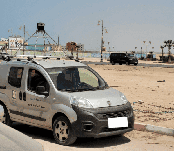
For private organizations as well as public, if they need to confidently work with street-level imagery that they know is recent and in extremely high resolution, they need other alternatives to Google Street View.
To learn more about other options for similar applications of street-view, check out this article about surveying and mapping cameras which capture street-view data similarly to Google Street View cameras.
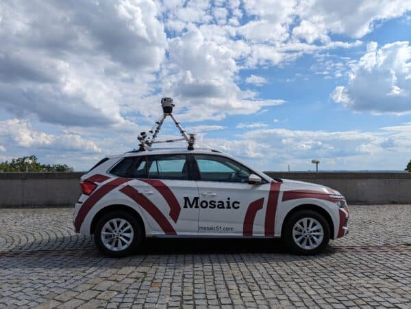
Our camera solutions at Mosaic collect 12-22K image data in the time it takes to drive by the assets in question. This can help governments and companies keep more accurate and more up-to-date maps in high-quality resolution..
Check out our page for sophisticated and robust products, to see the detailed specifications with listed features of each model, and start collecting data!
Also check out this other article about Google Street View Photographers here.

