
Mosaic enters the French market with GeonitiCS partnership
GeonitICS, a specialist distributor of 3D capture equipment, sensors, and systems, is Mosaic’s first French partner.
GeonitICS, a specialist distributor of 3D capture equipment, sensors, and systems, is Mosaic’s first French partner.

Join us in welcoming Twinworks to the Mosaic network of partners as the official Mosaic reseller for Canada.

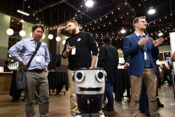
We interviewed industry experts at Intergeo 2025 to see what geospatial trends we can expect in 2026.
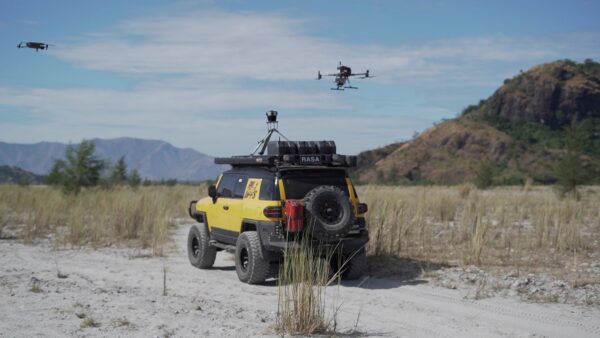
A few months ago, we put out a call for the best photos our customers have taken of their Mosaic cameras to
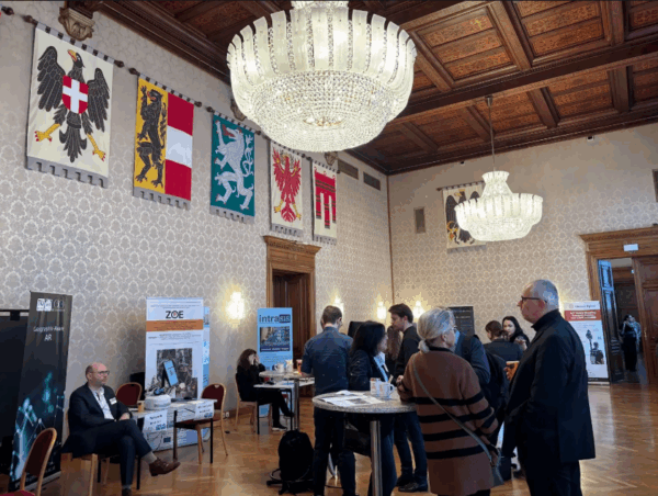
Mosaic hit the road to Calgary for Canada’s National Geomatics Expo.
Reality capture technology is getting smaller, smarter, and more portable. The cultural heritage sector is poised for growth.


