
Mosaic Strengthens its Reach in India Through Partnership with ASIM Navigation
ASIM Navigation is Mosaic’s latest partner, managing the rapidly emerging Indian market.
ASIM Navigation is Mosaic’s latest partner, managing the rapidly emerging Indian market.
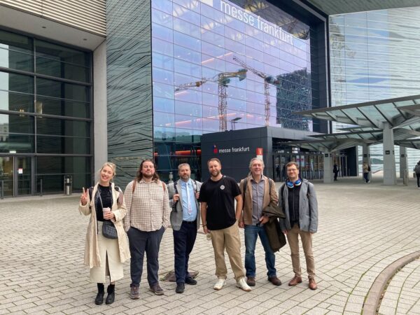
As geospatial experts descended on Frankfurt for Intergeo 2025, Mosaic celebrated its 5th year at the expo and launched a new product-
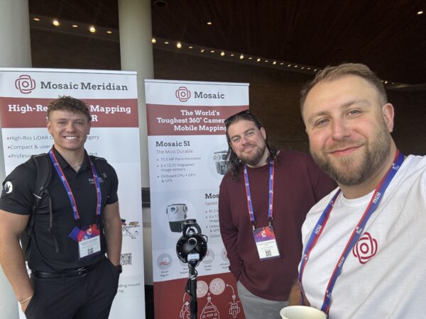
This month, Mosaic attended R-CON 2025 in Boise, Idaho, hosted by Reality Capture Network.
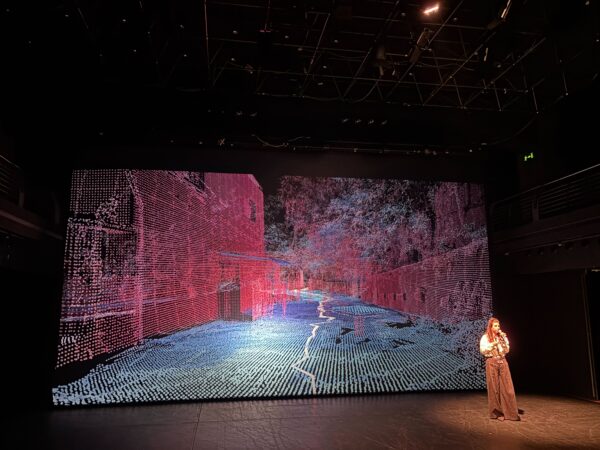
The Mosaic team gives their takeaways from PCDC 2025. It was an important opportunity to see the creative smart city technology our
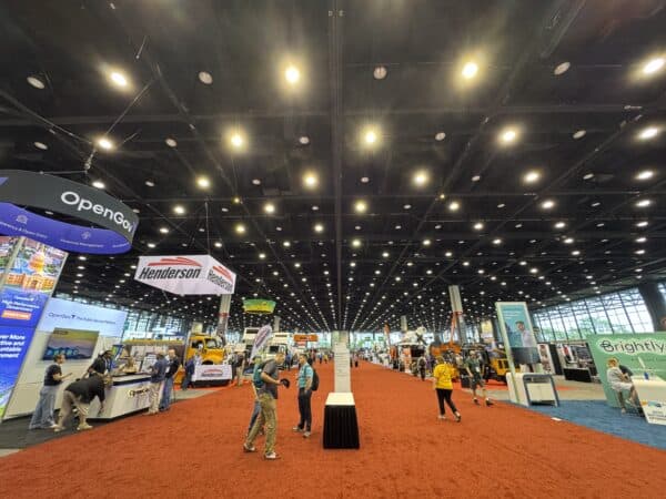
We look back at what we learned at the 2025 Public Works Expo.
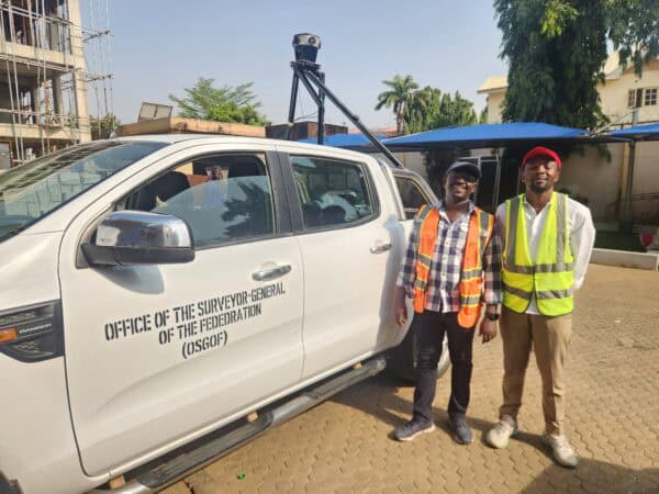
Building smart cities starts with a smart digital model. Follow Nigeria’s largest cities as they use mobile mapping to improve infrastructure.


