Challenges with data in disaster preparedness and response
Discover the challenges facing data in disaster response and the innovative solutions reshaping preparedness efforts worldwide. And the power of simple, accessible
Discover the challenges facing data in disaster response and the innovative solutions reshaping preparedness efforts worldwide. And the power of simple, accessible
Explore the economic fallout of poorly documented addresses and learn how Mosaic’s imaging tech transforms e-commerce, logistics, and finance solutions.
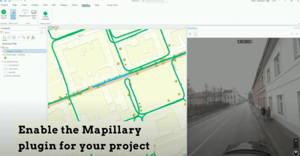
Unlock the full potential of ArcGIS with our guide on integrating Mapillary and Mosaic 360 cameras for dynamic street view imagery. Discover
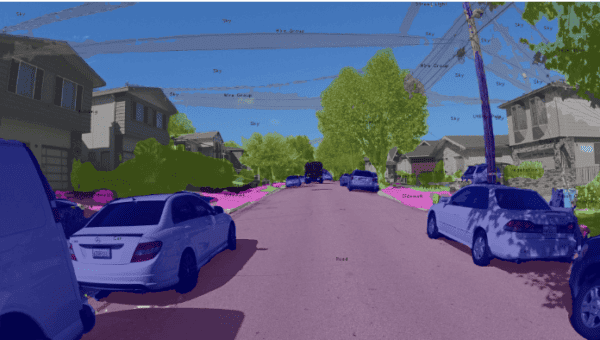
Discover an all-in-one solution with Mapillary and Mosaic for automatic, free AI on street view imagery. Learn step-by-step how to integrate high-res
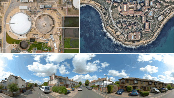
Explore the versatile world of image capture methods – Satellite, Aerial, Drone, and Mobile Mapping – and Learn which is the best
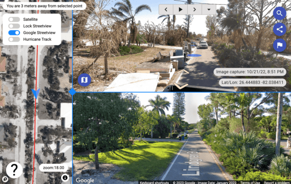
Effective post disaster debris management with 360º street view images from a mobile mapping camera assists with maximum FEMA reimbursement.


