


Buying this camera was one of the easiest decisions I’ve ever made. On every single metric, the Mosaic 51 beat out its competitors: its image quality is the best…the powerful script to stitch saves us enormous amounts of processing time… comes in seamlessly to our ESRI software.

Our approach with your camera [the Mosaic 51], absolute winner. There isn’t any part of the process where we’ve felt that we’re going backwards…We were able to move the price point of individuals down somewhere in the region of 40%…That’s enabled us to stay competitive.

We knew Mosaic 51 was the best on the market, and it's exceeded our expectations. We've successfully mapped utilities across Jordan, automating a once manual process. The integration with external sensors like Emlid RS2 is amazing. Mosaic always amazes us with new features and capabilities.

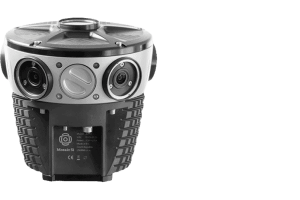
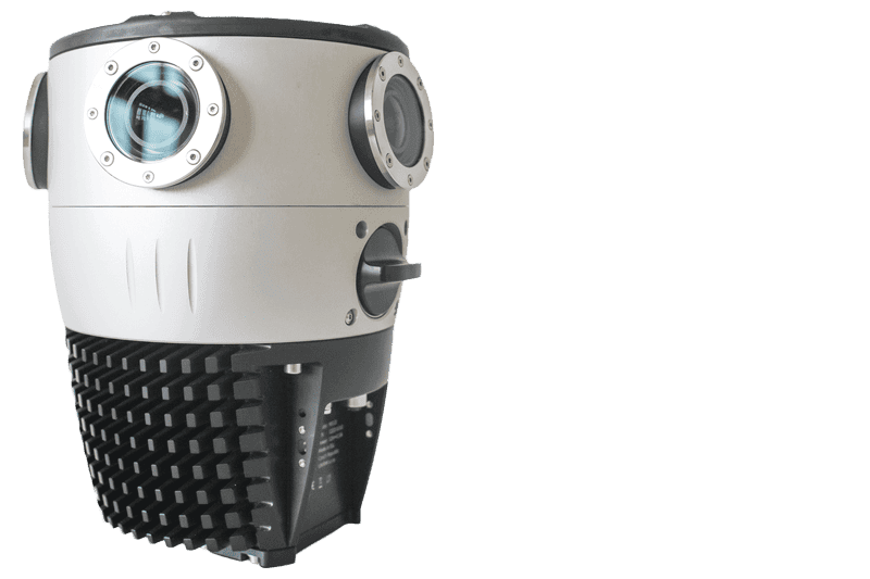
New Cutting-Edge 75.5 Megapixel Spherical Mosaic Camera System is one of the best 360º camera setups on the market today. It provides 75.5 MP of high-resolution imagery & allows us to offer a more robust dataset to our teams, clients and performs on-the-fly image optimization (brightness, contrast, color balance).

...are extremely robust, the highest-resolution cameras on the market, and the most mobile due to an onboard GPU. With this technology, agencies and communities can maintain updated maps and compare them with previous data to more accurately predict where there are potential risks involved in future vegetation growth or proximity to utility lines.
We've been pleased with your quality of product and service, really your level of service stands out amongst our other experiences.