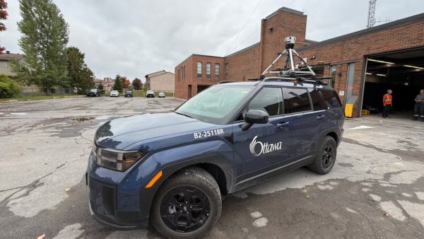
Have you seen a City of Ottawa SUV driving around the city with a camera on it?
The Mosaic Meridian got a moment in the spotlight on local Ottawa news as city officials implement Smart City technology.
GIS Surveying with the Mosaic 360° cameras for infrastructure management


The Mosaic Meridian got a moment in the spotlight on local Ottawa news as city officials implement Smart City technology.
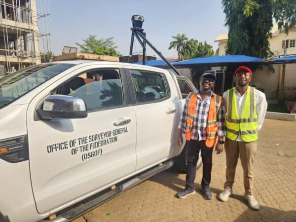
Building smart cities starts with a smart digital model. Follow Nigeria’s largest cities as they use mobile mapping to improve infrastructure.
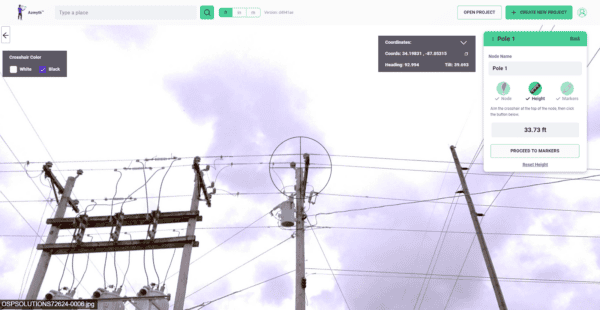
Learn how high-resolution 360° imagery, paired with Vulcan’s Azmyth platform, slashes costs by 70% and speeds up project timelines, setting new standards in the industry.


