Industry
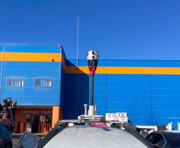
Pioneering Integration of RIEGL VMZ + Mosaic X with 3Dimensions Discovery
The Mosaic X, the highest-resolution mobile mapping camera, integrated with the RIEGL VMZ, sets a new 3D scanning standard. 3Dimensions delivers precise land detail acquisition and model creation for engineering surveying, showcasing advanced 3D solutions and innovation.
Industry
How Mosaic’s 360º Mapping Technology Reshapes Insurance Risk Assessment
The game-changing impact of Mosaic’s 360º mobile mapping camera on insurance risk assessment. From tackling ambiguity in claims to providing real-time insights before catastrophic events, discover why it’s a must-have for insurers navigating the evolving landscape.
Technology
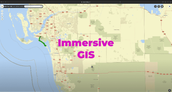
Immersive GIS with 360 Imagery: Be There From Anywhere
Learn about the cutting-edge applications of 360 imagery in GIS, enabling more precise and efficient project management, disaster response, and environmental monitoring.
Community
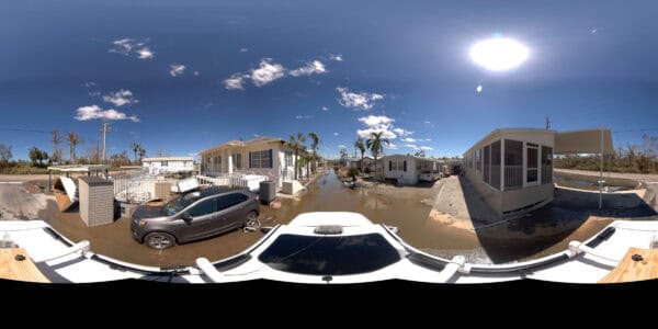
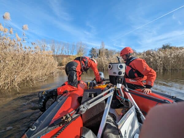
Perishable Data – why data capture post disaster is so important
Discover the urgency of capturing perishable data post-disaster, vital for swift recovery efforts. Explore how Mosaic Camera Systems revolutionize data collection.
Featured
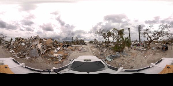
Revolutionizing Disaster Management: The Power of Mosaic Camera Systems
Discover how Mosaic Camera Systems are transforming disaster response with their high-resolution, easy-to-use technology, enhancing resource allocation, and accelerating recovery efforts by providing crucial data for government reimbursement and safe resident updates.
Community
Challenges with data in disaster preparedness and response
Discover the challenges facing data in disaster response and the innovative solutions reshaping preparedness efforts worldwide. And the power of simple, accessible data.


