

Industry
A Comprehensive Review of the Mosaic 51 Camera in Urban Image Collection
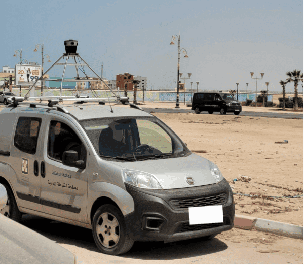
Discover how Mapersive enhanced large-scale urban image collection, using the Mosaic camera system to capture high-resolution 360° imagery and precise GPS data in their recent project in Morocco.
Featured
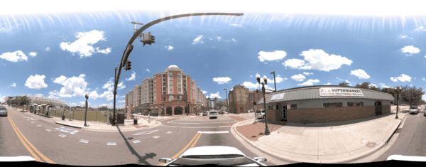
Building a 3D Model of a City: Mapping Orlando with the Mosaic 51
Discover how the Orlando Downtown Development Board used the Mosaic 51 camera to cut data capture from two weeks to three days, delivering high-resolution imagery and accurate GNSS data in tough urban areas.
Featured
Assisted AI-based Feature Extraction in Mobile Mapping
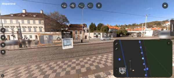
Explore how Mosaic’s advanced 360-degree imagery, captured using high-resolution cameras, enhances AI-assisted feature extraction and asset recognition in mobile mapping applications.
Community
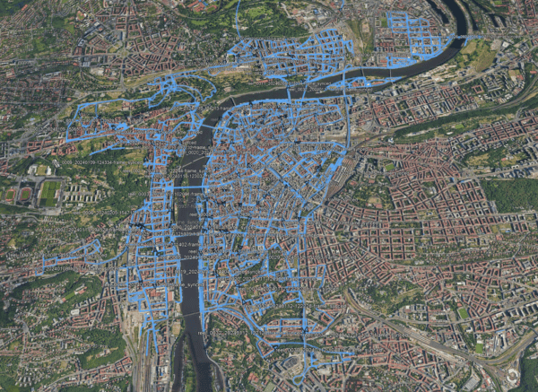
Mosaic REALMAP: Explore Prague in Unprecedented Detail with 1.26 Million Images
Access 15 terapixels of Prague’s detailed imagery for your research, for computer vision, photogrammetry, point cloud generation, 3D modeling and more!
Featured
Case Study: Reviving History with Mosaic’s Advanced Capture & Processing for VFX
Discover how Mosaic’s team of 2 and their advanced 360-degree camera and LiDAR technology transformed the production of “The Ice Cream Man,” enabling high-fidelity 3D imagery for VFX production.
Featured
Todd Sheridan Perry’s Tech Review of Mosaic Xplor: VFX Innovations
An Emmy-winning VFX supervisor reviews the Mosaic Xplor, highlighting its innovative design and impact on the VFX industry. This portable 360° scanning backpack, with high-resolution cameras and LiDAR, excels in capturing detailed imagery in challenging areas.
Community
Exploring the Importance of Remote Site Visits
Remote visits and surveys increase safety, efficiency and allow more decisions makers to take part. Learn more.
Featured
Mosaic Announces Partnership with ESRI to Enhance Terrestrial Imagery Integration
The combination of 360 imagery with GIS, especially 3D GIS and Reality Mapping brings a new level of detail and immersion to spatial analysis and visualization.
Industry
Electrical Grid Surveying – Saving Millions in Outage Mitigation
Combining thermal imagery and 360 street view for game-changing electrical grid surveying.