
Industry
What reality capture means for the AEC industry
The AEC industry has the potential to vastly improve on reality capture techniques on imagery from 360º cameras. Find out more.
Community
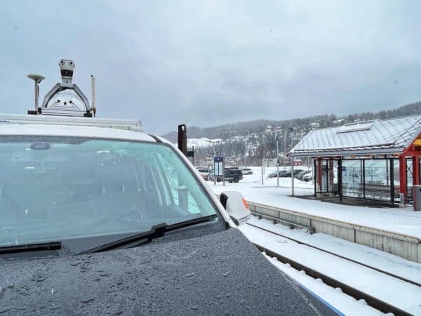
Field scans non-electrified railroads in Norway with MMS
Customer success story: Field builds innovative MMS with Mosaic X and LiDAR to scan railways in Norway with high precision.
Industry
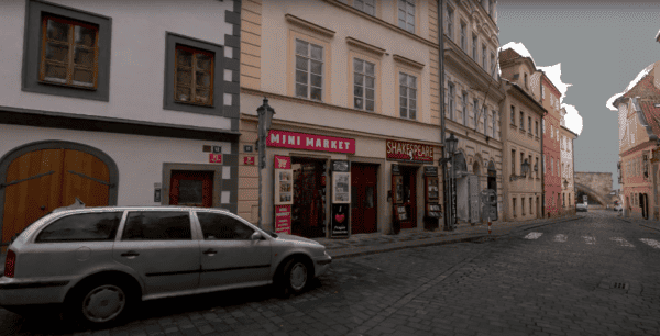
Quickly capture high-resolution images of infrastructure assets
Quick and cost-efficient method of collecting high-quality, photorealistic images of infrastructure, roadside assets, utility and telecommunication assets for inspection purposes.
Industry
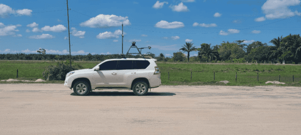
Using Mosaic 51, a 360º Mobile Mapping Camera for Electrical Grid & Road Inspection
Case study: Dymaxion integrates LiDAR with Mosaic 51 for electrical grid and road inspection
Industry
Enhancing Situational Awareness with Mobile Mapping and Real-Time Data
More industries are looking for ways to enhance their situational awareness for safer working environments and more.
Industry
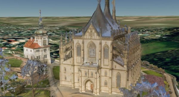
Scan large-scale objects to create panoramas and 3D models
Minimize additional costs and human resources while scanning large-scale infrastructure for detailed 3D reconstructions.


