
Featured
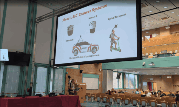
Mosaic Attends Digital Heritage 2025
Digital Heritage 2025 set the stage for important conversations about historical preservation and the role of 3D mapping.
Featured
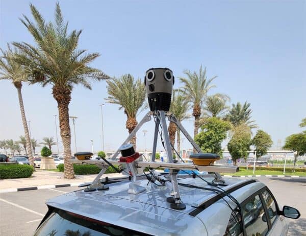
The Mosaic Meridian Proves it Can Take the Heat in the United Arab Emirates
In a recent sales trip to the UAE, the Mosaic Meridian proved that high temperatures are not a reason to stop surveying.
Technology
Q&A: Gaussian Splatting
This Q&A with Mosaic’s Lead Computer Vision Engineer dives into the ways in which Gaussian Splats are taking over the 3D rendering landscape.
Industry
Points, Triangles, Blobs, and Ellipsoids: What Exactly are Gaussian Splats?
This new technology is making waves in the world of 3D modelling. So what are Gaussian Splats, and what makes them so fun to make?
Community
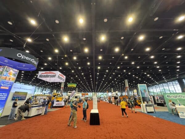
Mosaic at PWX 2025 in Chicago
We look back at what we learned at the 2025 Public Works Expo.
Industry
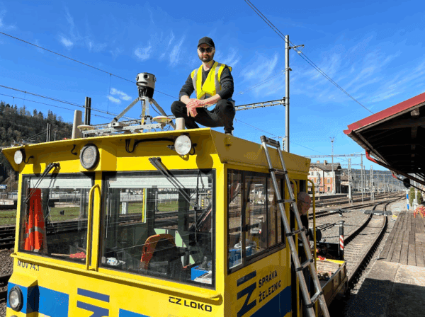
Keep Railway Projects on Track with Mosaic and AirView
Our cameras aren’t just for cars! AirView and Mosaic mounted a camera onto a train to capture georeferenced imagery of railway corridors.


