
Two Tech Titans Join Forces for Breakthrough Data Integration
Prague, a city known for its rich history and stunning architecture, became the stage for an extraordinary collaboration between Mosaic, a leader in imaging solutions, and SmartDelta, a pioneer in mobile mapping software.
The goal? To seamlessly integrate Mosaic’s cutting-edge 360º Camera Systems with SmartDelta’s Mobile Mapping Software. The result? A game-changing data collection fusion.
Dual-Purpose Cameras
Mosaic’s 360º Camera Systems, including the Mosaic 51 and Mosaic X models, were designed to be standalone units. They pack a punch with internal GPS, built-in GPU, and CPU for onboard storage. But here’s the twist: these cameras come with an AUX port, allowing them to be integrated with additional sensors or used in tandem with other devices.
Usability of Mosaic Systems
The Mosaic X Camera, a standout in the lineup, boasts unmatched 360-degree imaging capabilities. It captures high-resolution panoramic images with precision and resilience. The real magic lies in its ability to seamlessly play with other industry-standard sensors, such as GNSS, IMU, LiDAR, and more.
SmartDelta’s Mobile Mapping Software plays a vital role in this integration. It’s the conductor in this symphony of sensors, orchestrating data collection and processing with finesse.
Prague as the Testing Ground
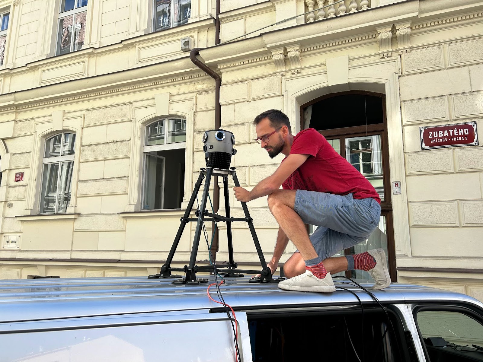
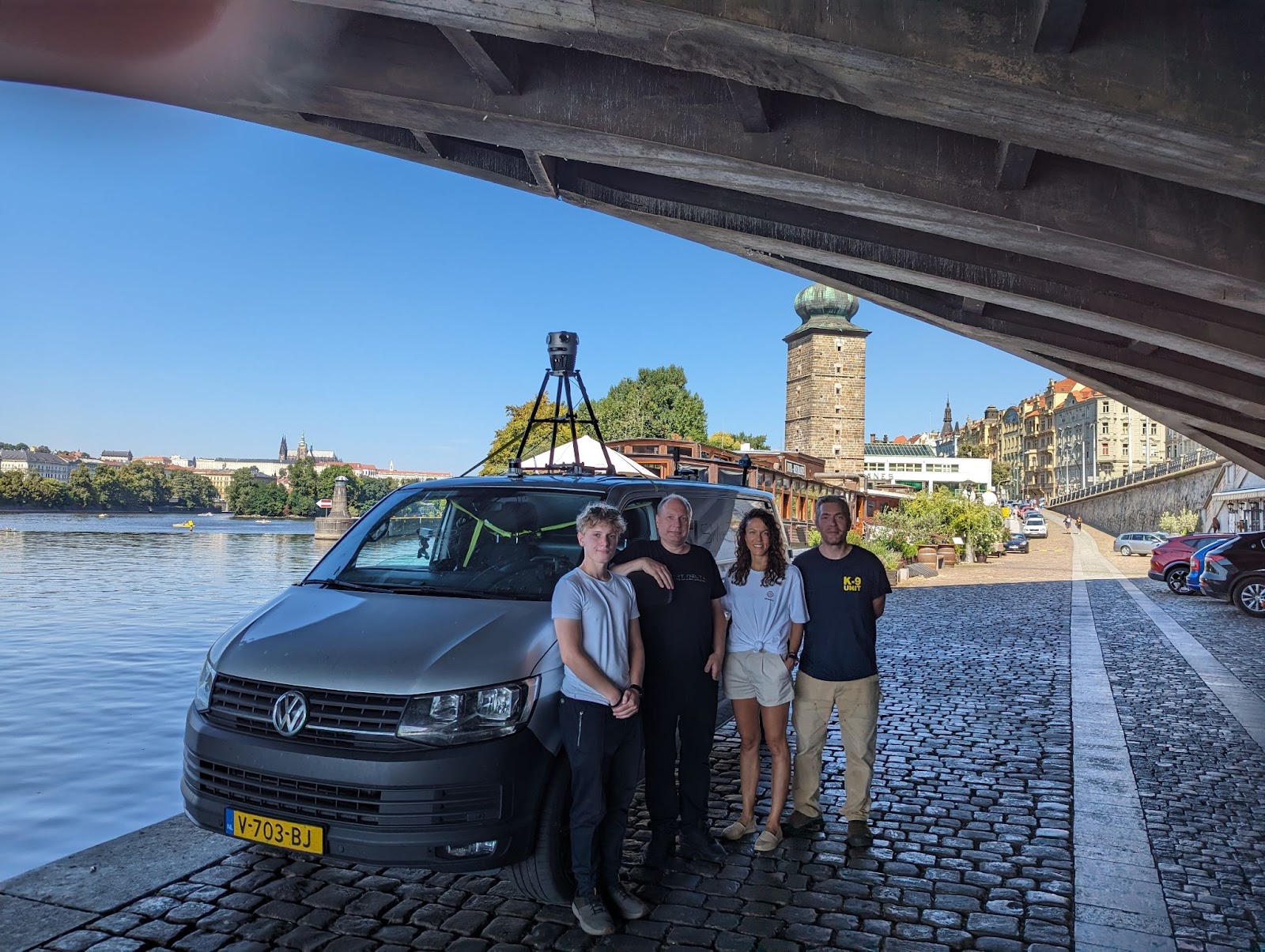
Prague’s diverse urban landscape served as the perfect canvas for this experiment. The test vehicle, meticulously fitted with a suite of advanced sensors, set out to collect data with accuracy and stability.
Among the key players were the Applanix LVX GPS/INS for positioning and orientation, the Xenics Gobi 640 Thermal Camera for thermal imaging, and the Ouster LiDAR for high-resolution 3D mapping. The Hesai LiDAR sensor, with its impressive range and resolution, added the final touch to this sensor ensemble.
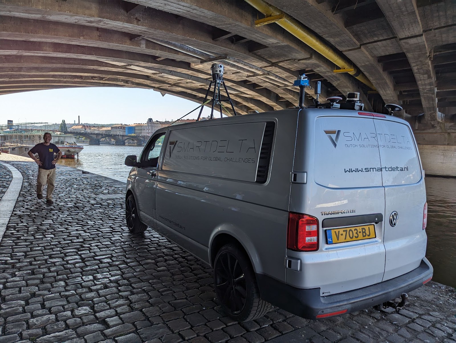
The integration components consisted of the Mosaic X – a 360º mobile mapping camera system, as well as an Applanix LVX GPS/INS, Xenics Gobi 640 Thermal Camera, Ouster LiDAR, and Hesai LiDAR.
The Mosaic X Camera System, with its cutting-edge 360-degree imaging capability, showcases its unrivaled capabilities in the mobile mapping arena.
SmartDelta’s versatile software empowers real-time data collection, integration, and analysis, ensuring the harmonious blending of multiple sensors.
This component ensures highly accurate positioning and orientation data, enabling precise georeferencing.
With its thermal imaging prowess, this camera proves invaluable for infrastructure inspection, firefighting, and environmental monitoring.
Sensors and Systems used in the data collection test drive
The Applanix LVX GPS/INS system provides highly accurate positioning and orientation data. This component is crucial for ensuring precise georeferencing of the collected data.
The Xenics Gobi 640 Thermal Camera captures thermal images, making it invaluable for applications such as infrastructure inspection, firefighting, and environmental monitoring.
Ouster’s LiDAR sensor provides high-resolution 3D mapping capabilities, delivering detailed point cloud data.
The Hesai LiDAR sensor’s impressive range and resolution enable navigation in complex environments with confidence.
The Grand Finale
As the integration test unfolded, data from all sensors flowed seamlessly, recorded in real-time using SmartDelta’s MMS Recorder. The software synchronized the data and ensured precise timestamps and geo-referencing.
See the results here:
What stood out was the simplicity of the setup. Standardized interfaces made installation a breeze, and SmartDelta’s intuitive user interface made configuring and calibrating sensors a quick task. The Mosaic X Camera’s standalone capability eliminated the need for an extra computer during data capture, streamlining the process.
After data collection, the integrated system showcased its prowess in post-processing. SmartDelta’s software seamlessly integrated data from multiple sensors, aligning data streams and creating a comprehensive 3D map of the test area. This allowed users to make informed decisions based on accurate and up-to-date information.
The Promise of Integration
This integration test, a joint effort by Mosaic, SmartDelta, and the array of sensors demonstrates the incredible potential of these technologies in mobile mapping applications. With easy setup and efficient post-processing, it’s a game-changer for industries like transportation, urban planning, and environmental monitoring.
The story of Mosaic and SmartDelta’s collaboration is a testament to the power of seamless integration. It signals a future where data collection and processing are not just efficient but transformative.
For the full story and details of this test project, visit:


