Technology

The Resolution Gap with Native Sensors
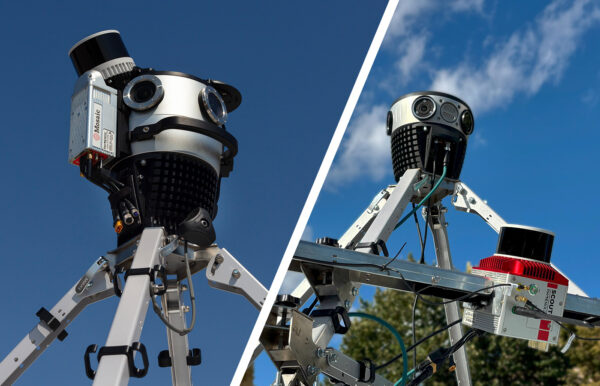
A French Alpine surveying firm hit the resolution ceiling of their Leica TRK700. See how adding Mosaic X unlocked 91.2MP panoramic imagery and the contracts that came with it.


A French Alpine surveying firm hit the resolution ceiling of their Leica TRK700. See how adding Mosaic X unlocked 91.2MP panoramic imagery and the contracts that came with it.
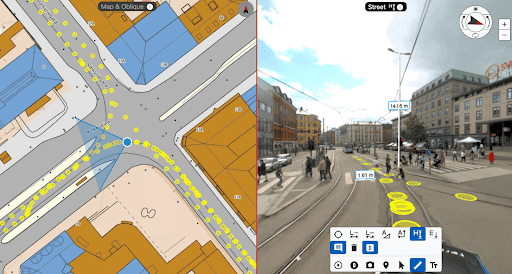
Navigating road and infrastructure surveying doesn’t have to be difficult. Learn how to use open source solutions like Google Street View or create your DIY solutions with Mosaic.
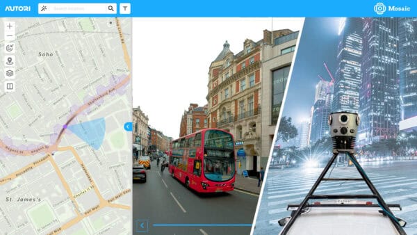
Now you can seamlessly integrate Mosaic’s high-resolution imagery with Autori’s Saas-based work and data management systems.
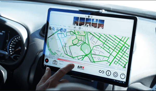
Mosaic and ARX have teamed up to provide Brazil with the highest-resolution imaging available for urban infrastructure and cadastre projects.
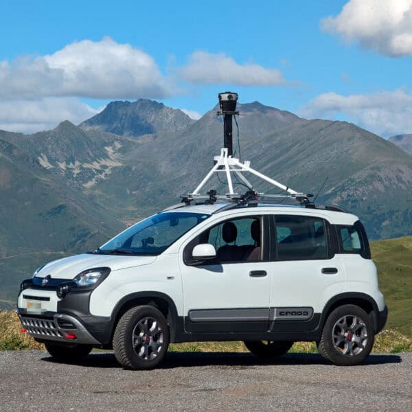
Mosaic’s collaboration with Chulalongkorn University’s Smart Mobility Research Center promises to improve 3D mapping capabilities to meet the needs of transportation infrastructure projects.

How the VFX team saved time and reduced costs by capturing 6 miles of high-quality data at driving speeds—with no road closures, no permits, and just one operator.