
Prague, Czech Republic / Bangkok, Thailand – January 09, 2025
The collaboration focuses on advancing intelligent transportation systems with high-resolution 3D mapping to improve Thailand’s mobility and safety.
Mosaic is pleased to announce a collaboration with the Smart Mobility Research Center at Chulalongkorn University, Thailand. This partnership is focused on advancing intelligent transportation systems (ITS) and 3D mapping mobility solutions designed to address the unique needs of Thai society.
Advancing Mobility Research with High-Quality 3D Mapping
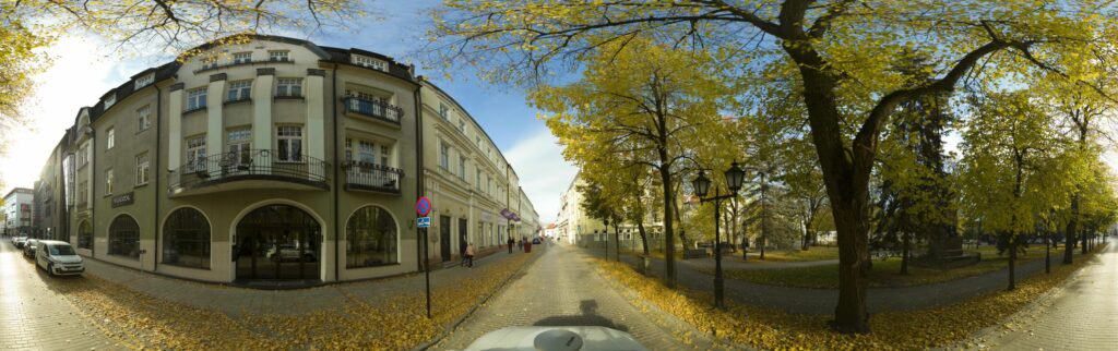
The Smart Mobility Research Center, part of Chulalongkorn University’s Faculty of Engineering, specializes in developing safe and sustainable transportation solutions. With Mosaic cameras, the center will collect high-resolution data to create 3D maps of Thai expressways for traffic scenario simulations. These maps aim to improve transportation planning, enhance safety, and support mobility research.
Why Mosaic Cameras?
“The primary motivation for selecting the Mosaic mobile mapping camera for our project is our need to collect and create high-quality 3D maps,” said Dr. Nuksit Noomwongs, project manager at the Smart Mobility Research Center. “During our discussions, it became clear that Mosaic Camera is a practical tool that simplifies the mapping process. Specifically, we were impressed by how well it integrates with Agisoft Metashape, which we use as our photogrammetry solution.”
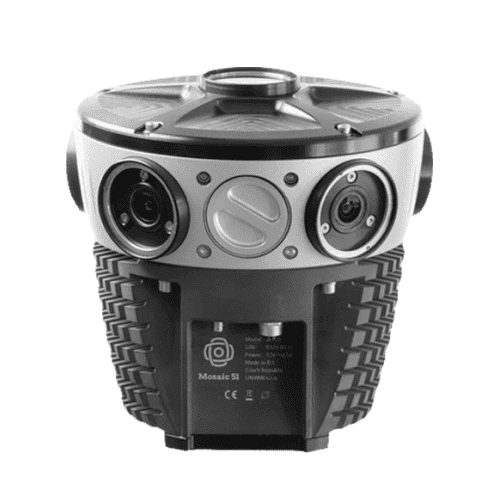
The Smart Mobility Research Center selected Mosaic cameras due to their practical benefits:
- Smooth integration with photogrammetry tools like Agisoft Metashape.
- User-friendly operation, minimizing training requirements for the team.
- Affordable pricing enables efficient resource allocation without compromising quality.
“The benefits such as preparing data for photogrammetry tools, initializing proprietary projects, and streamlining the reconstruction process—align perfectly with our project demands. The ease of use, particularly the one-button operation to complete complex tasks, is a significant advantage that we believe will enhance our efficiency and data quality.”
Shared Goals for Smarter Transportation
Through this partnership, Mosaic and the Smart Mobility Research Center aim to address critical transportation challenges in Thailand. The 3D maps generated with Mosaic cameras will allow for detailed visualization of traffic conditions, leading to more informed decision-making for traffic management and mobility planning.
“The ability to leverage high-quality 3D mapping will enhance our research capabilities, allowing us to explore new areas of study and improve our existing methodologies. Ultimately, this investment will not only advance our current projects but also open up opportunities for new initiatives within our research center,” said Dr. Noomwongs.
Future Applications of 3D Mapping Technology
The collaboration will contribute to ongoing projects at the Smart Mobility Research Center, with plans to use Mosaic’s technology in new initiatives to improve ITS and mobility technologies.
Are you curious about how Mosaic can positively impact your transportation and urban mapping projects? Hear from our other satisfied customers, or contact our team at [email protected] to learn more!


