Robust 360° Cameras & Solutions
Experience unmatched freedom for mapping streets, urban infrastructure, railways, and hiking trails
Previous slide
Next slide
Case Studies
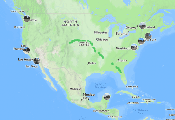
Discover where Mosaic camera systems are creating large-scale impact in mapping and surveying with real-life stories from the field.
Mosaic
Pushing the limits of HD mapping.
Our mission: to build a better view of the world.
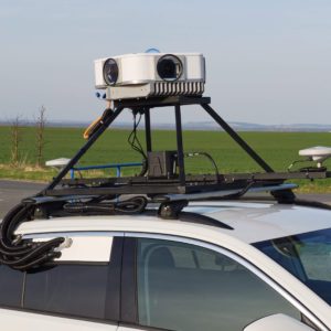
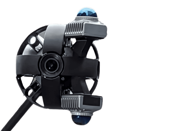
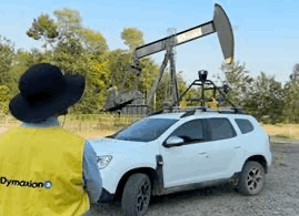
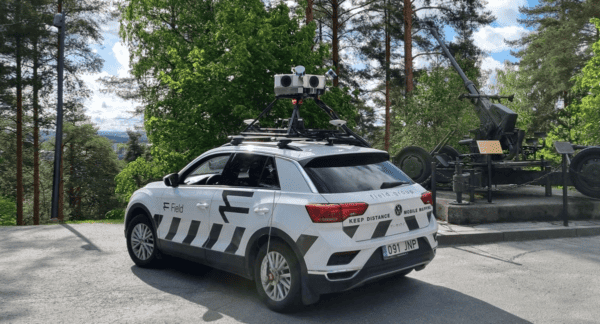
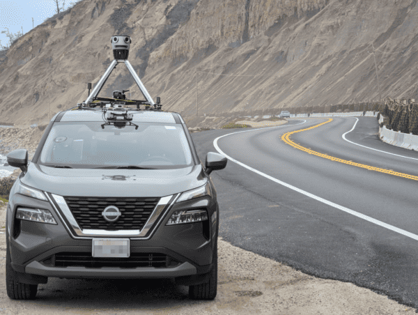
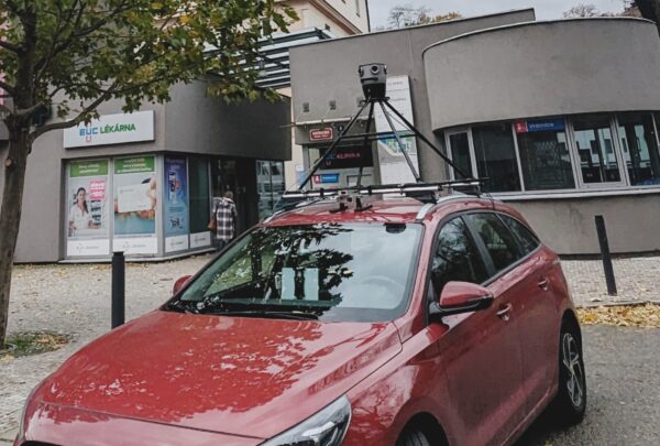
With decades in the fields of 360° imaging and camera hardware development, we specialize in building cameras specifically for mobile mapping needs. In addition, we offer mobile mapping services with our robust, HD cameras.
Our customers









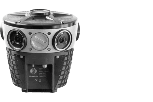
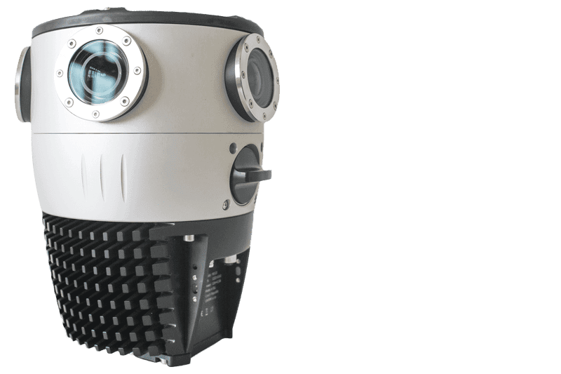
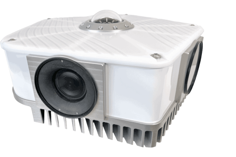
Mosaic cameras
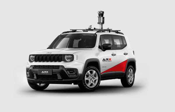
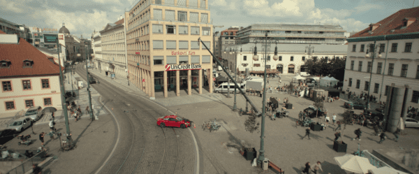
City documenting in action.
3D Scanning in HD.
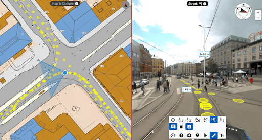
- Never-before-seen 12K, 13K, & 20K resolution videos of city mapping.
- Large environments and scenes scanned in minutes rather than hours or days.
- Create high definition images and photorealistic 3D reconstructions without LiDAR.
Discover what Mosiac customers are so excited about
Buying this camera was one of the easiest decisions I’ve ever made. On every single metric, the Mosaic 51 beat out its competitors: its image quality is the best…the powerful script to stitch saves us enormous amounts of processing time… comes in seamlessly to our ESRI software.

Our approach with your camera [the Mosaic 51], absolute winner. There isn’t any part of the process where we’ve felt that we’re going backwards…We were able to move the price point of individuals down somewhere in the region of 40%…That’s enabled us to stay competitive.

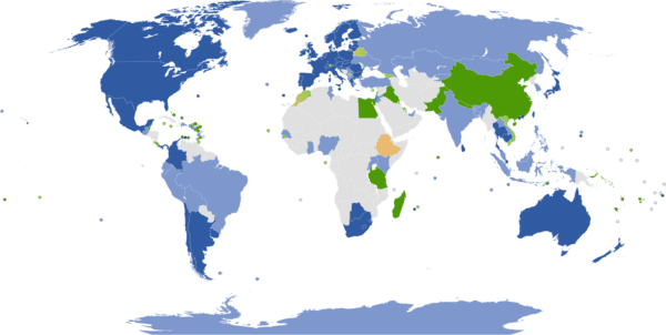
We knew from the start that we wouldn’t go wrong with our choice of the Mosaic 51 and it has proven to be the best in the market. We have been successfully scanning the whole country for several months, focusing on identifying utilities, thus adding increased automation to a once manually-intensive project. Our ultimate goal is to turn all cities in Jordan into smart cities. With the added benefit of being able to integrate with external sensors, including the Emlid RS2 RTK, the benefits and applications are amazing. We will always keep a close eye on Mosaic products as they always amaze us with new features and capabilities.

We were also looking for a camera with MUCH higher resolution that could be a killer in the market.
In the Nordic region, the customers are very focused on resolution, so to compete with that, you need the Viking.
We can acquire more customers because we have a ‘better system and can compete with our competitors.

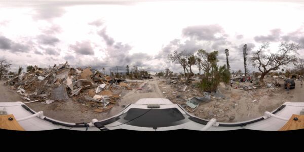
Hurricane Ian (near category 5 hurricane) came ashore in Ft Myers, FL. We deployed the newly purchased Mosaic 51 camera to the scene immediately. It performed quite well while collecting over 400 miles of 360 imagery in very harsh conditions!

Yours can be sent into orbit!
(referring to the robustness of the Mosaic 51)
(referring to the robustness of the Mosaic 51)

New Cutting-Edge 72 Megapixel Spherical Mosaic Camera System is one of the best 360º camera setups on the market today. it provides 72 MP of high-resolution imagery & allows us to offer a more robust dataset to our teams, clients and performs on-the-fly image optimization (brightness, contrast, color balance).

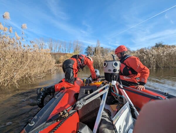
Recognized as the 2021 Water Monitoring Solution of the Year by AgTech Breakthrough Awards within the category of In-Field Systems for the innovative method of data capture for efficient and environmental friendly water management.

...are extremely robust, the highest-resolution cameras on the market, and the most mobile due to an onboard GPU. With this technology, agencies and communities can maintain updated maps and compare them with previous data to more accurately predict where there are potential risks involved in future vegetation growth or proximity to utility lines.

Previous
Next
Fresh insights


