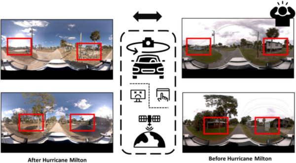
How Texas A&M is Pioneering Damage Assessment Using Mosaic Imagery from Hurricane Milton
Researchers at Texas A&M are using Mosaic-captured imagery to develop disaster resilience frameworks that bridge the gap between satellite data and ground truth


Mosaic 360° cameras are ideal for gathering consistent data for large-scale research projects for universities across many disciplines.


The best research balances high quality with high quantity, and meaningful research in computer vision, geospatial analysis, and environmental science depends on data at scale.
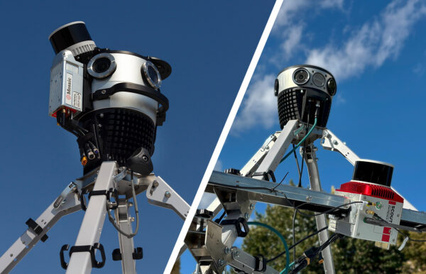
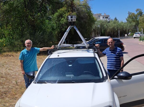
Mosaic MMS are designed for large-scale and repeatable data capture. Instead of a handful of test sites, capture long stretches of real-world environments of consistent quality and with precise GPS metadata.
They are simple to set up and can be captured with a single operator in the vehicle.
Capture the data you need, whether it is indoors, outdoors, at highway speeds, or even on boats, with Mosaic’s options that fit every project.

A single MMS investment by a university supports a wide range of research activities across many departments.
The non-proprietary, non-vendor-locked imagery produced by Mosaic cameras means teams can use the image data with industry-specific software programs they know best.
Data captured by one team can be shared and reused across departments without compatibility barriers or vendor-specific licensing limits.
It has the flexibility that facilitates multidisciplinary exchange of ideas.

Synthetic datasets have their uses, but the best way to train a model for real-world scenarios is with real-world data.
Ground-truth imagery from actual environments is a core training element for researchers who are building scene-understanding algorithms or geospatial AI tools.
Mosaic MMS produce the kind of high-resolution, GPS-tagged 360° datasets that give AI and machine learning models research a reliable foundation.
Get the varied lighting, complex scenes, and accurate coordinates needed for the strongest possible training data, all from a single drive with a single operator.

Researchers at Texas A&M are using Mosaic-captured imagery to develop disaster resilience frameworks that bridge the gap between satellite data and ground truth
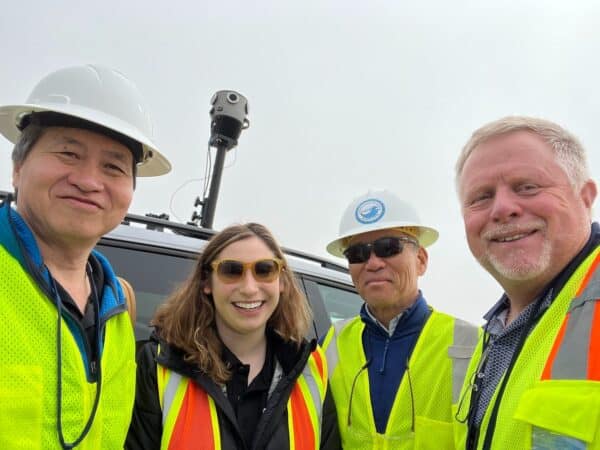
When UCLA and the University of Hawaii’s research programs need high-resolution 360° imagery of wildfire aftermath, they turn to Mosaic cameras.
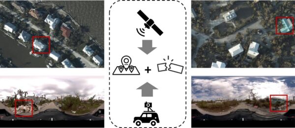
There are some scenes only street-view imagery can capture. These researchers are using Mosaic imagery from Hurricane Ian to train GeoAI models to identify post-disaster damage levels.
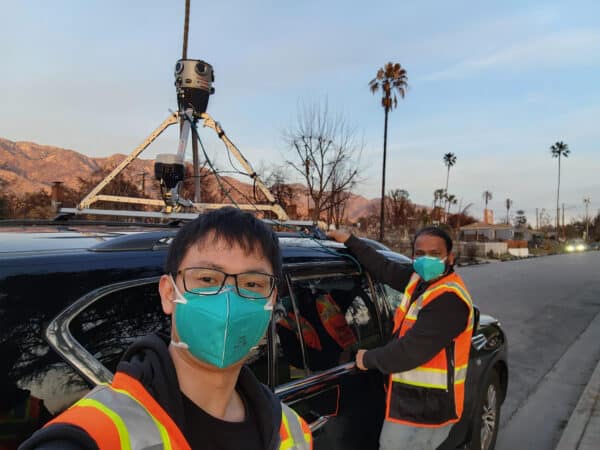
Mosaic had the opportunity to speak with UCLA researchers about the devastating 2025 L.A. wildfires.
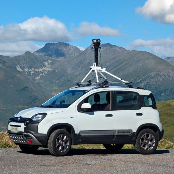
Mosaic’s collaboration with Chulalongkorn University’s Smart Mobility Research Center promises to improve 3D mapping capabilities to meet the needs of transportation infrastructure projects.
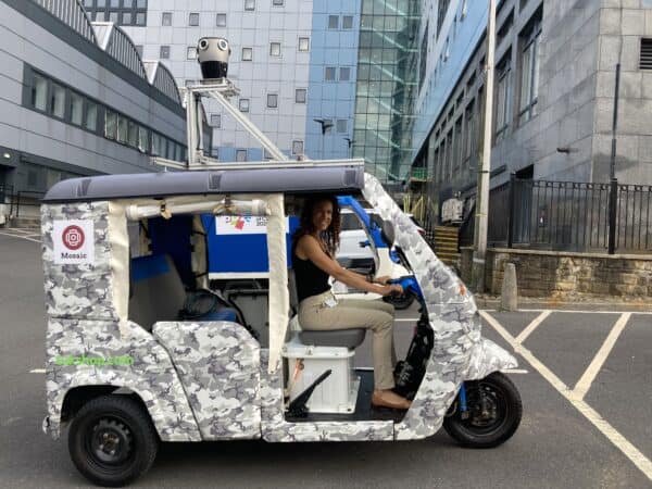
The University of Bradford uses Mosaic’s advanced mobile mapping technology to capture historic sites in detail. Since 2023, their Visualising Heritage team has developed a digital twin of Bradford, enhancing urban planning and historic exploration.
Get our case studies pack to see how universities and companies around the world use the Mosaic MMS for street-level capture, inspection, and planning.
Looking for free training data? We’ve released 15.15 terapixels of street-view imagery for researchers.
REALMAP is an incredibly high-quality image dataset of Prague, available for non-commercial use. This project is our way of giving back to the research community, and it features:
Learn more about Prague REALMAP here and here.