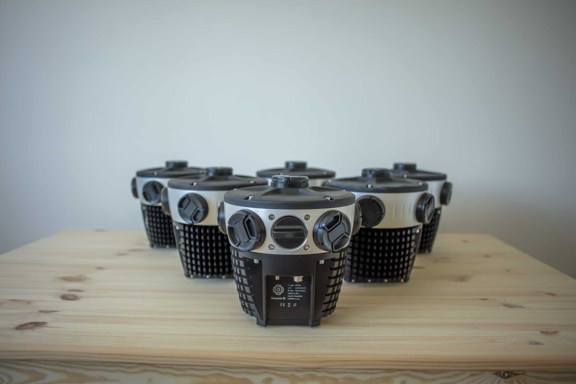
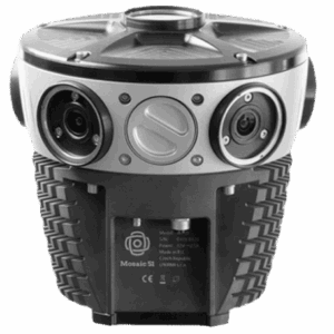
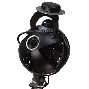
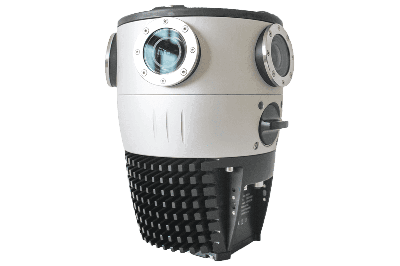


- Mosaic 51
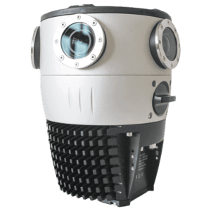
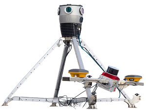
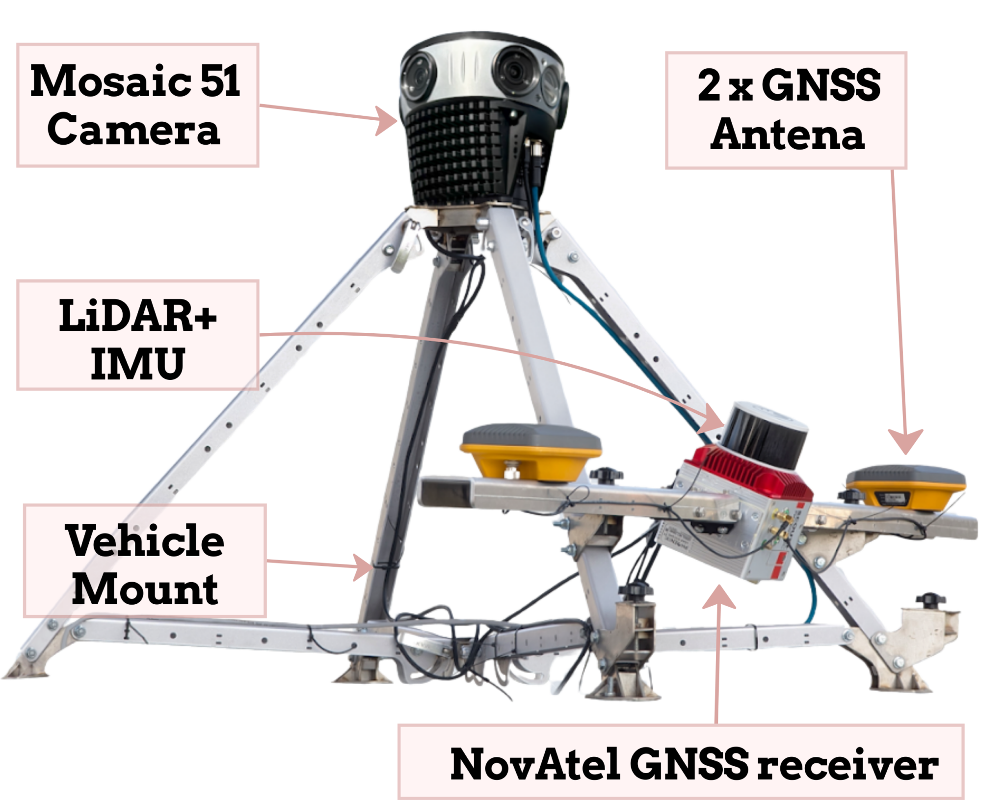
- MOSAIC X
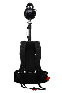
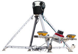
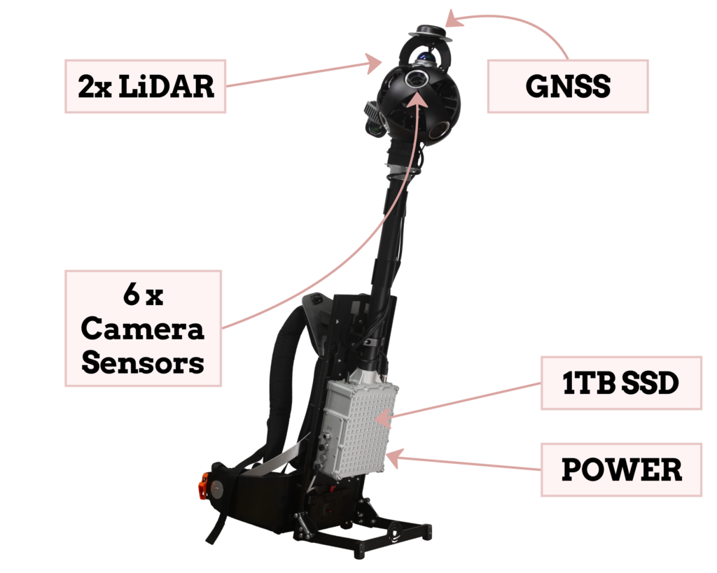
- XPLOR
| Mosaic 51 | MOSAIC X | XPLOR | |
The most durable | Speed meets accuracy | On foot or scooter | |
| Sensor Type | Rolling shutter | Global shutter | Global shutter |
| Weight | 4.6 kg / 10 lbs | 7 kg / 15 lbs | 7 kg / 15 lbs (2 kg overhead) |
| Equirect. Resolution | 75.5 MP | 91.2 MP | 91.2 MP |
| PIxel Size | 1.55² microns | 2.74² microns | 2.74² microns |
| Temperature Range | 0º to 45 °C 32º to 115 ºF | 0º to 45 °C 32º to 115 ºF | 0º to 45 °C 32º to 115 ºF |
| IP Rating | IP67 | IP67 | IP67 |
| Storage | Onboard 1TB SSD (hot swappable) | Onboard 1TB SSD (hot swappable) | Onboard 1TB SSD (hot swappable) |
| LiDAR Enabled | Custom Integration | Part of Meridian | Yes |
| Data Stored Onboard | Timestamp Log (CSV), Raw GNSS Track (GPX), Synced GNSS Trajectory (GPX), Six Videos (MP4) | Timestamp Log (CSV), Raw GNSS Track (GPX), Synced GNSS Trajectory (GPX), Six Videos (MP4) | Timestamp Log (CSV), Raw GNSS Track (GPX), Synced GNSS Trajectory (GPX), Six Videos (MP4) + LiDAR Data (LAZ), IMU Data (CSV) | Learn more | Learn more | LEARN MORE |


