Case Study: VFX Production on ‘The Instigators’ with Mosaic 360 Imaging
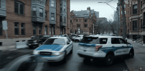
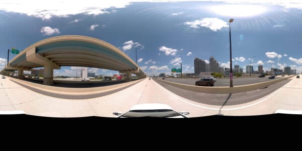
How the VFX team saved time and reduced costs by capturing 6 miles of high-quality data at driving speeds—with no road closures,
How the VFX team saved time and reduced costs by capturing 6 miles of high-quality data at driving speeds—with no road closures,
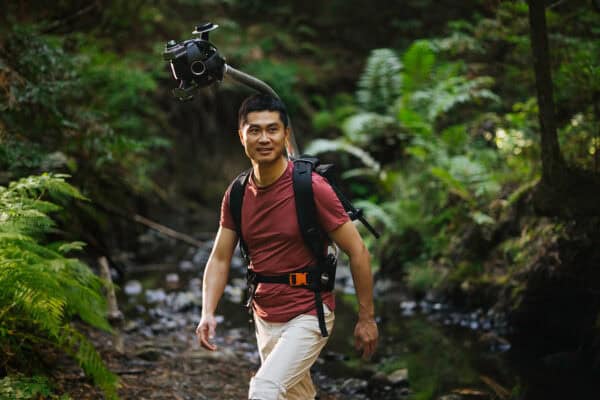
Discover how 360° camera and LiDAR backpack technology overcomes the limits of traditional reality capture devices, providing high-resolution data even in the
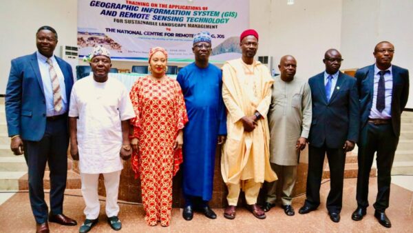
Learn how Mosaic’s high-res 360° technology will support the upcoming Kogi State ACReSAL project, capturing critical data to advance sustainable agriculture and
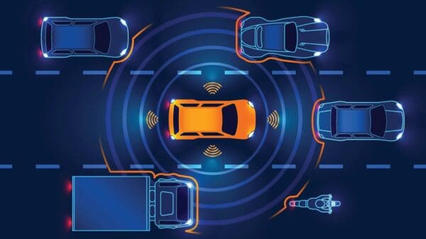
HD mapping combined with real-time data is key to improving road safety and enabling autonomous driving. By providing precise, centimeter-level accuracy, these
Excerpt:
At Intergeo 2024, Mosaic introduced the Mosaic Meridian, our new mobile mapping tool combining 360° imagery with LiDAR for accurate
Discover the vital impact of image resolution in digital photography and machine learning. Mosaic’s CEO, Jeffrey Martin, explains how the combination of


