

Featured
Enhancing Driving and Road Safety: The Role of Map-Based ADAS and Mapping
HD mapping combined with real-time data is key to improving road safety and enabling autonomous driving. By providing precise, centimeter-level accuracy, these systems enhance decision-making beyond traditional sensors.
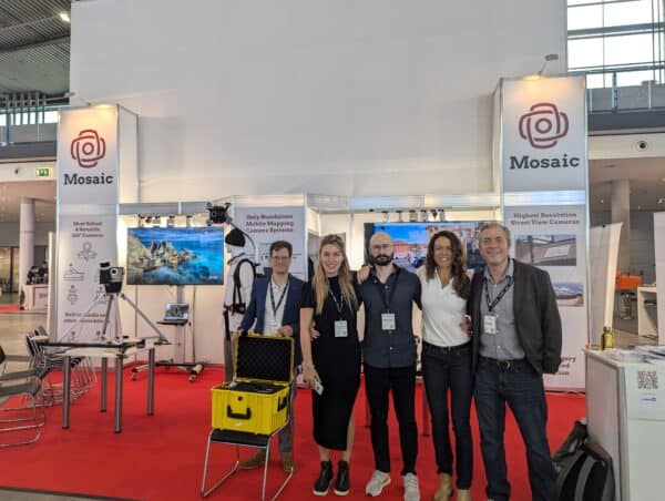
Featured
Mosaic at Intergeo 2024 – Pushing the Boundaries in Mobile Mapping
Excerpt:
At Intergeo 2024, Mosaic introduced the Mosaic Meridian, our new mobile mapping tool combining 360° imagery with LiDAR for accurate data collection. See how the Meridian fits into projects like digital twins, asset inspection, and infrastructure planning.
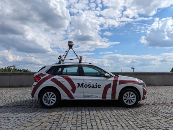
Industry
Exploring the Mobile Mapping Landscape – Where Does the Mosaic Meridian Fit?
Looking for a mobile mapping system that balances precision, affordability, and usability? The Mosaic Meridian offers high-resolution imagery and optimized LiDAR data, streamlining workflows for urban planning, infrastructure monitoring, and asset management. Experience the future of mobile mapping with Mosaic.
Featured
Understanding Image Resolution: A Comprehensive Guide
Discover the vital impact of image resolution in digital photography and machine learning. Mosaic’s CEO, Jeffrey Martin, explains how the combination of lens quality and sensor performance, not just pixel count, is key to producing sharper and more precise images.
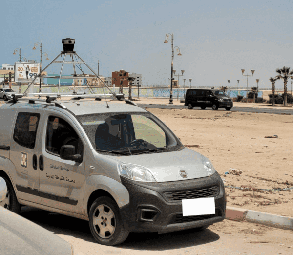
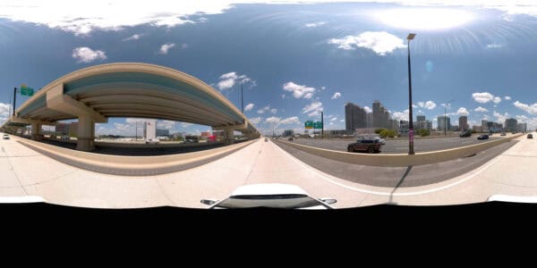
Industry
A Comprehensive Review of the Mosaic 51 Camera in Urban Image Collection
Discover how Mapersive enhanced large-scale urban image collection, using the Mosaic camera system to capture high-resolution 360° imagery and precise GPS data in their recent project in Morocco.
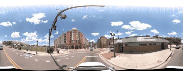
Featured
Building a 3D Model of a City: Mapping Orlando with the Mosaic 51
Discover how the Orlando Downtown Development Board used the Mosaic 51 camera to cut data capture from two weeks to three days, delivering high-resolution imagery and accurate GNSS data in tough urban areas.


