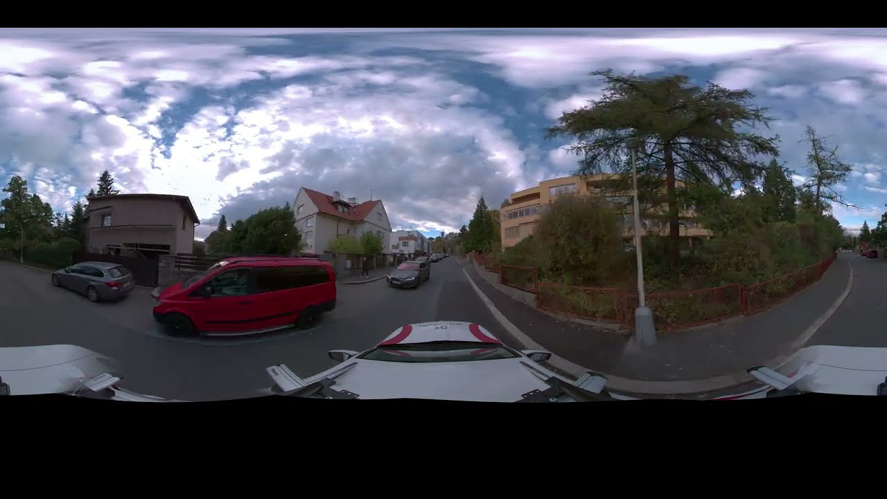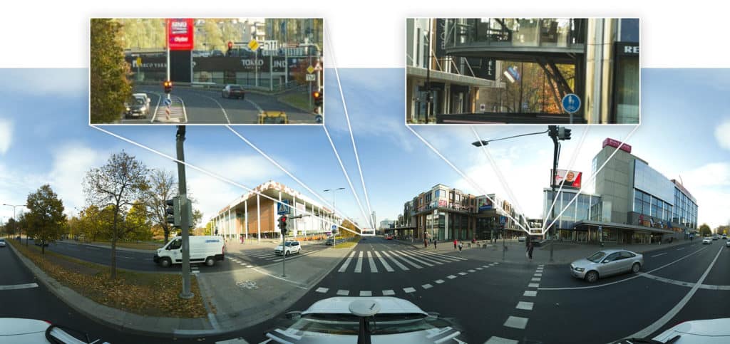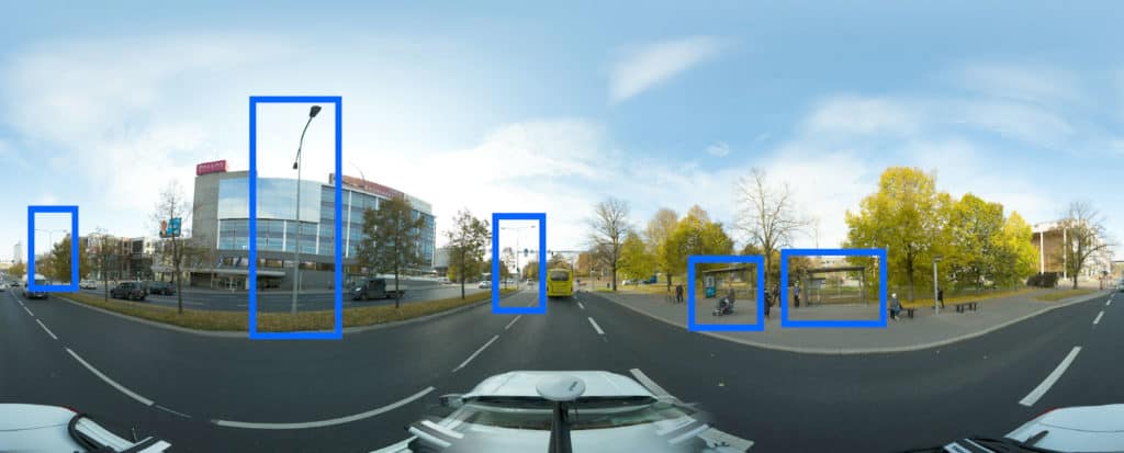

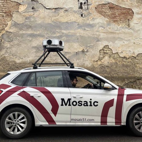
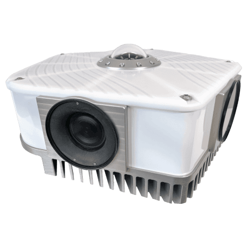
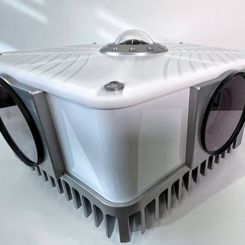
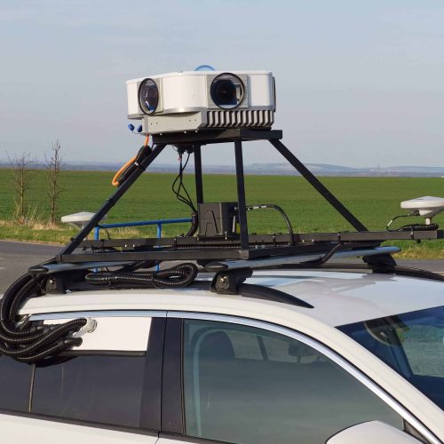
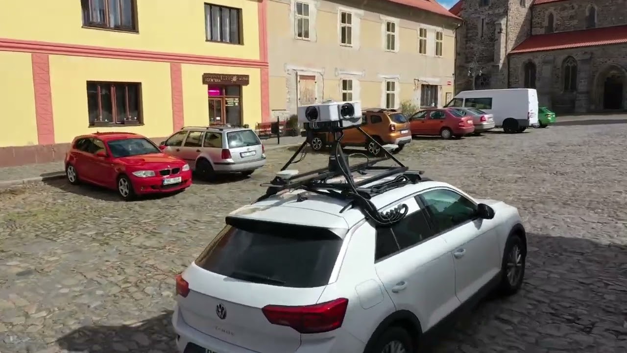
We were also looking for a camera with MUCH higher resolution that could be a killer in the market.
In the Nordic region, the customers are very focused on resolution, so to compete with that, you need the Viking.
We can acquire more customers because we have a better system and can compete with our competitors.
Playlist
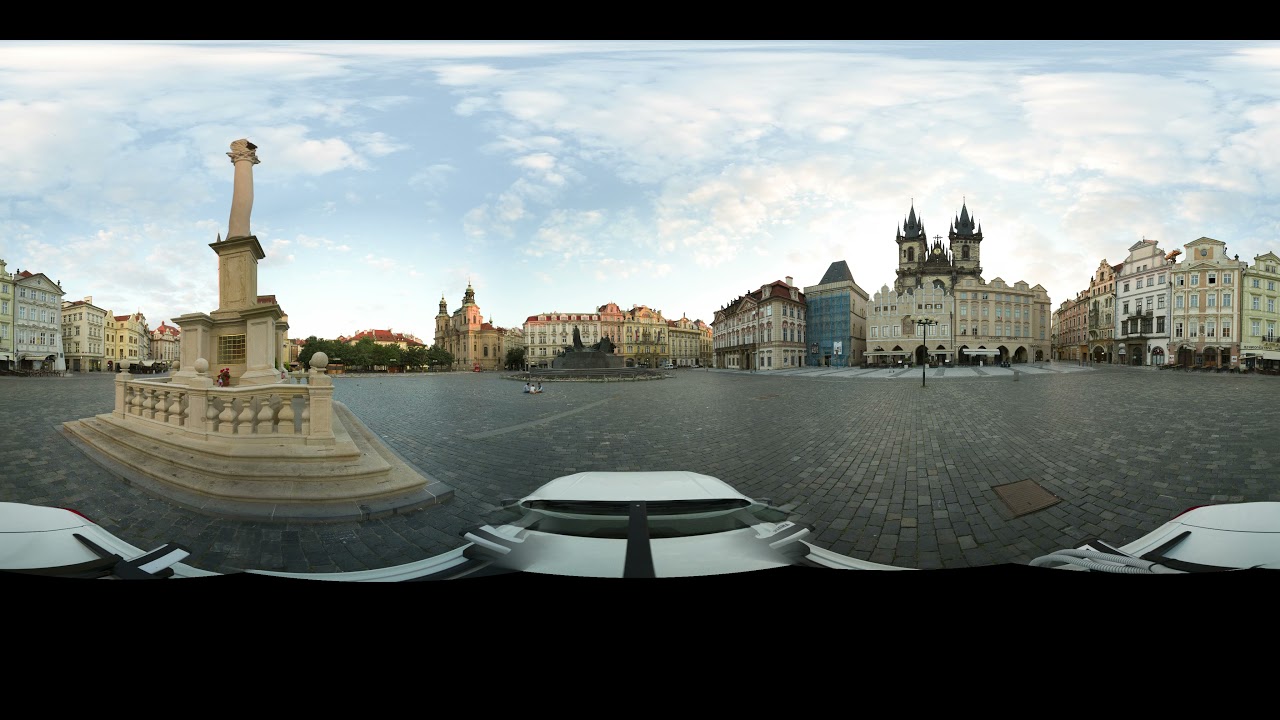
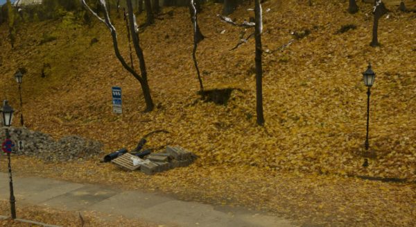
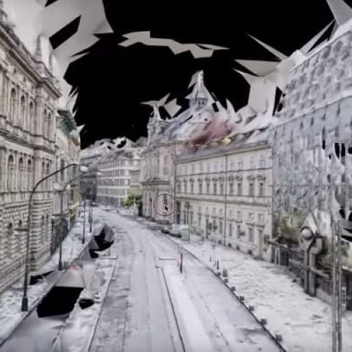
![Highest Resolution 360° video of Prague [by mobile mapping camera Mosaic Viking] WATCH IN 4K](http://img.youtube.com/vi/uqelz5sb5cM/maxresdefault.jpg)
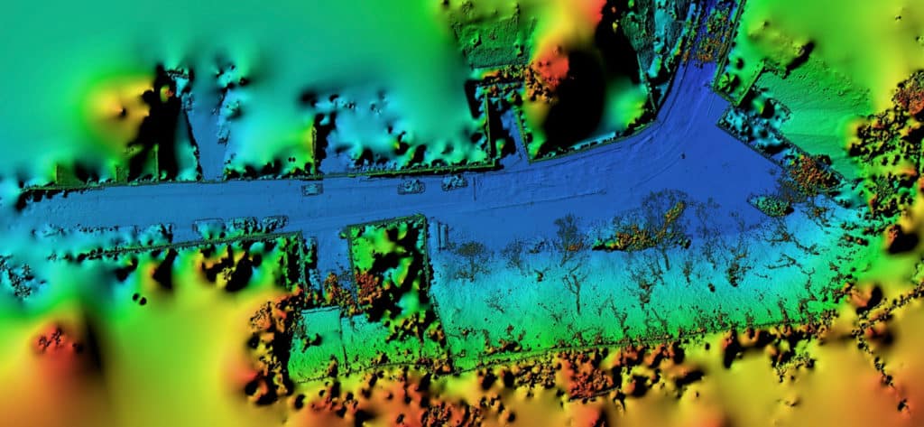
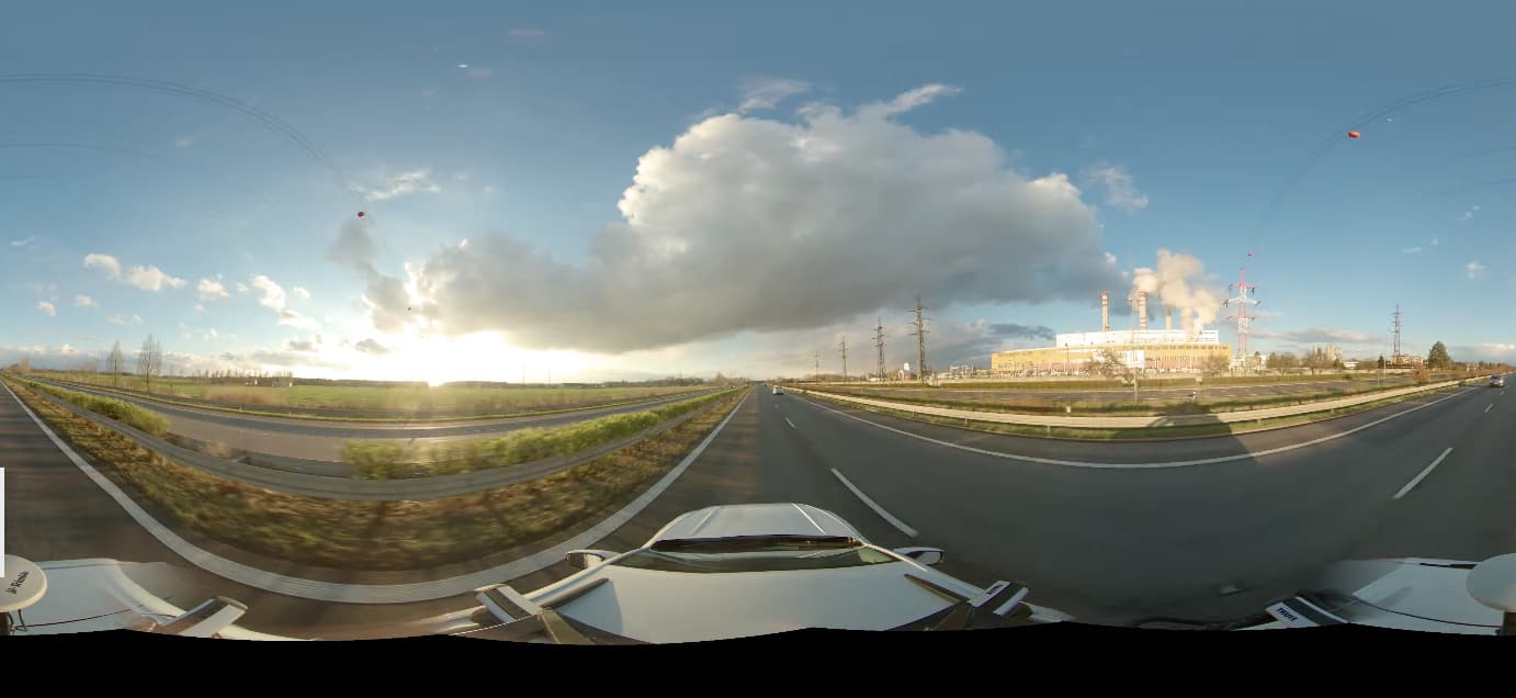
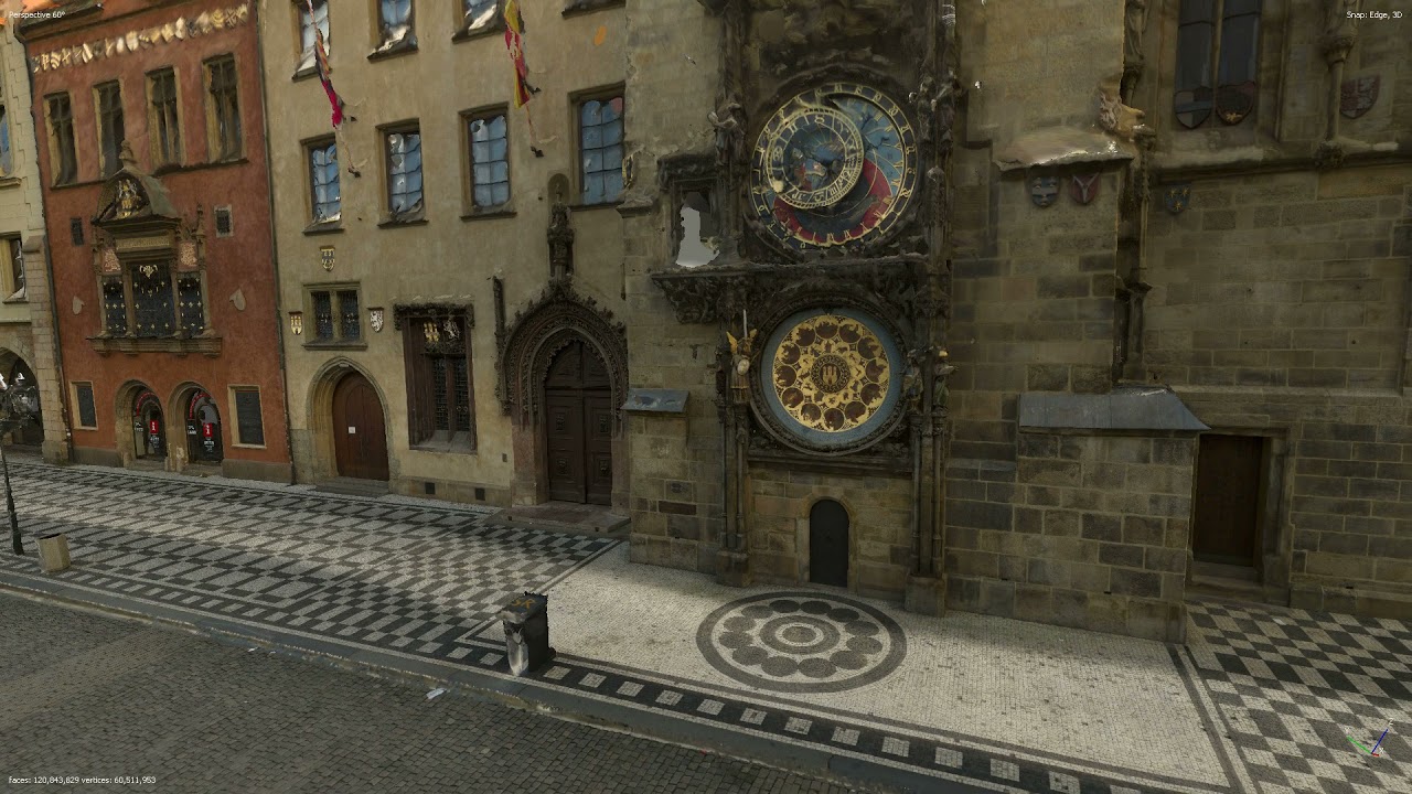
![Fastest Way to Capture Highest Resolution Data with Mosaic Viking - Mobile Mapping Camera [NeRF]](https://img.youtube.com/vi/JeZoS0ajEPM/maxresdefault.jpg)