


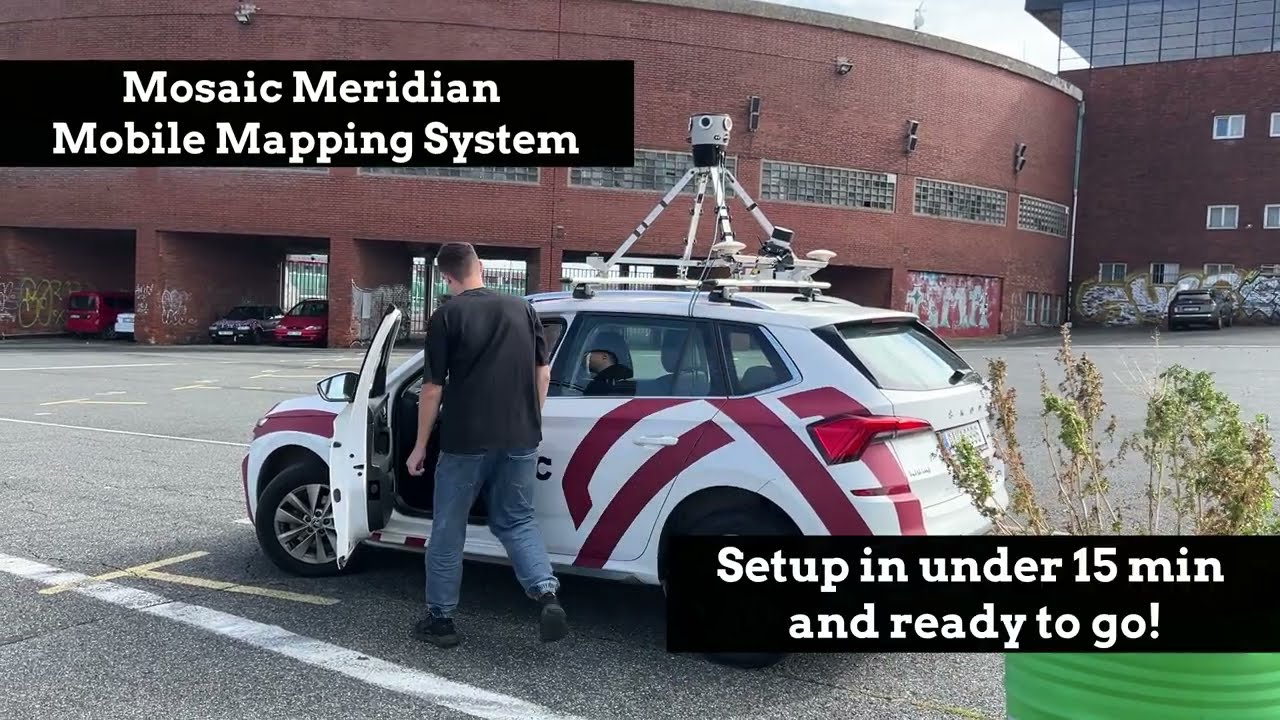
![Efficient Data Capture & Feature Extraction with Mosaic Meridian [Mobile Mapping System] & TopoDOT](https://img.youtube.com/vi/uRgjh-E-xHA/maxresdefault.jpg)


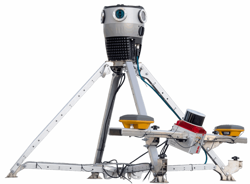
- System Integrator MLS System
- Industry standard MLS System
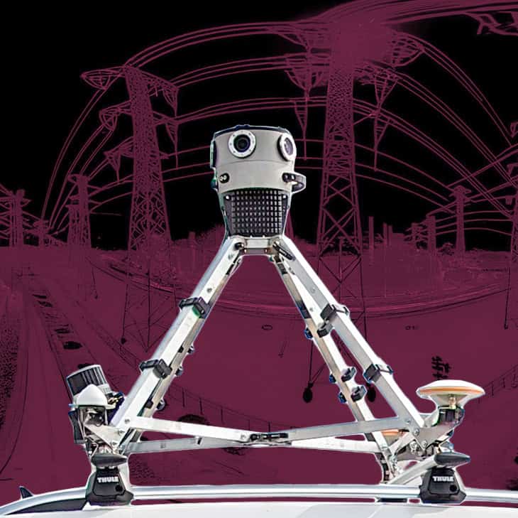
- Meridian
MLS System - Meridian Lite
MLS System
| System Integrator MLS System | Industry standard MLS System | Meridian MLS System | Meridian Lite MLS System | |
| Pricing | $ | $$$ | $$ | $ |
| Ease of Use | Simple operation, but lacks advanced features | Requires specialized training, complex workflows | User-friendly, intuitive interface, single operator needed for data capture | User-friendly, intuitive interface, single operator needed for data capture |
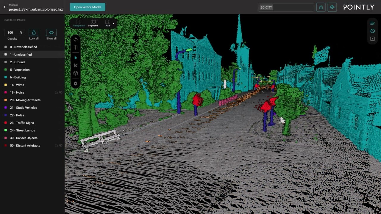
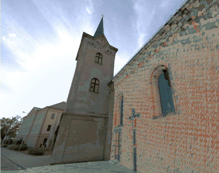
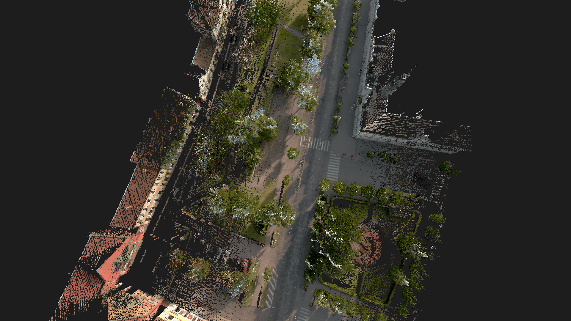
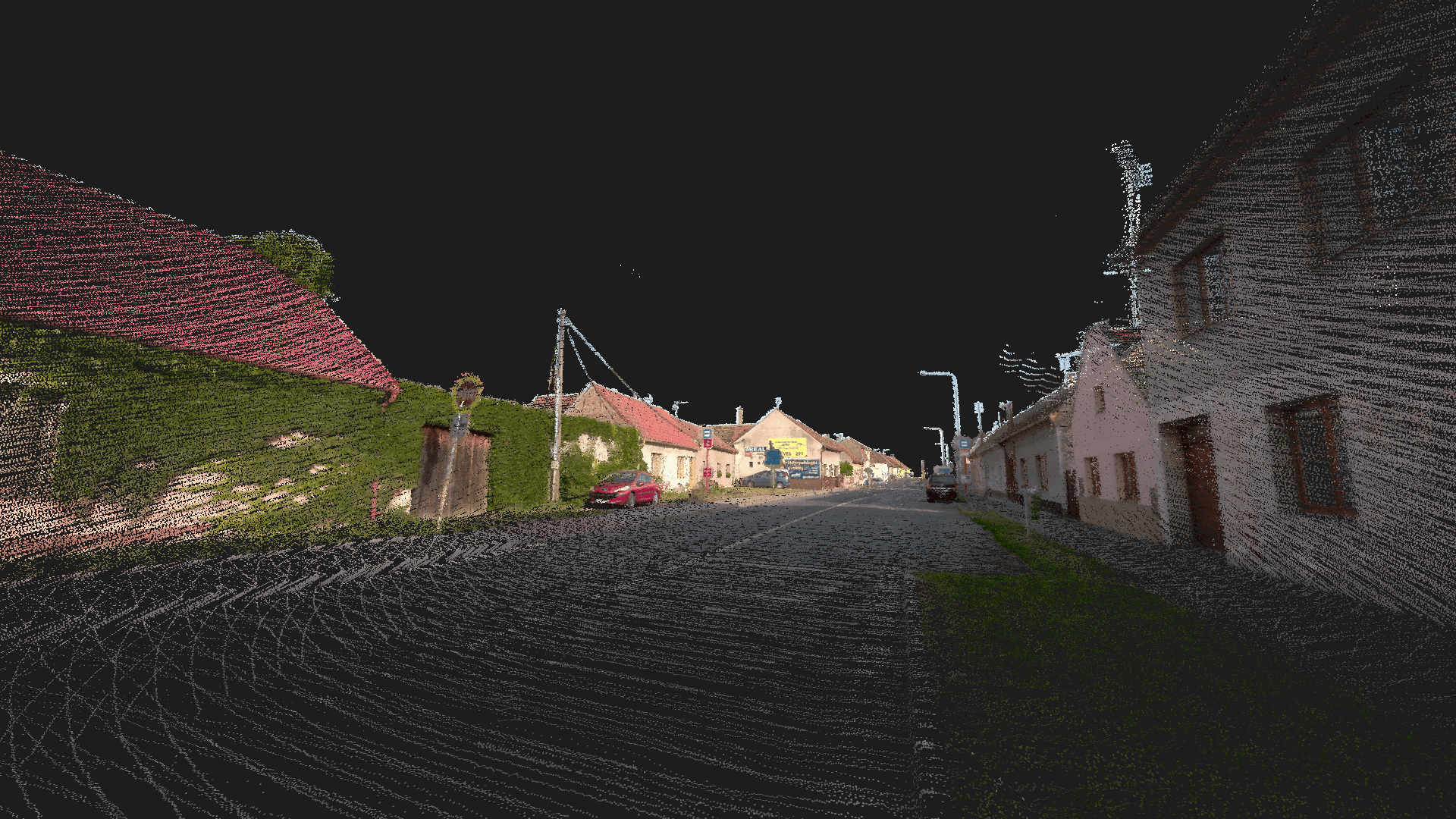
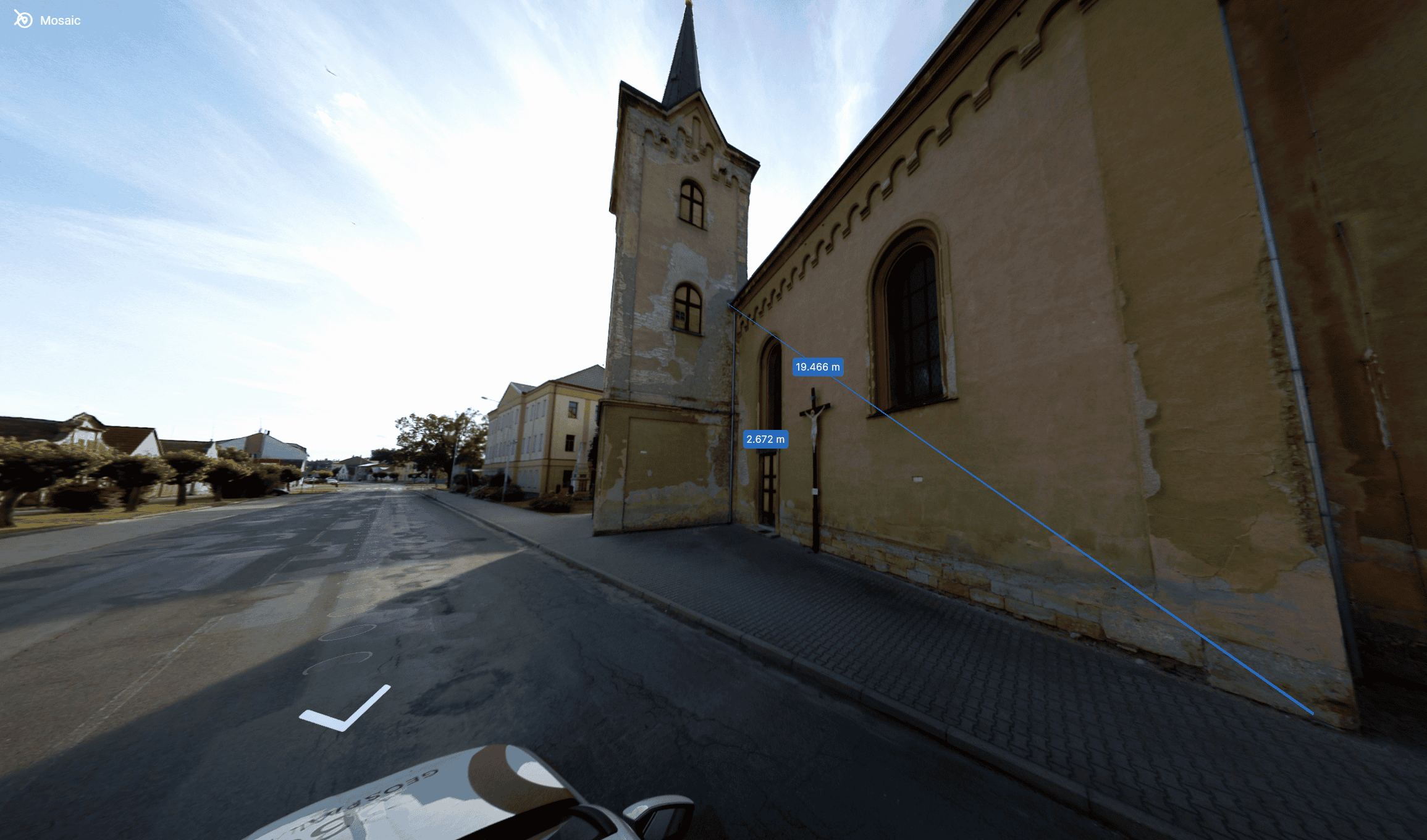
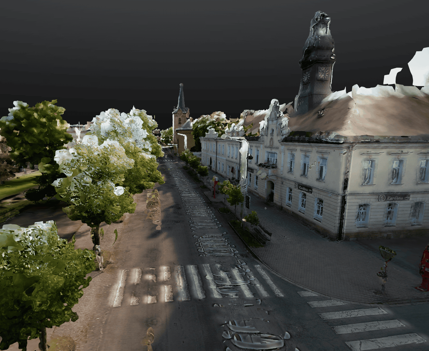
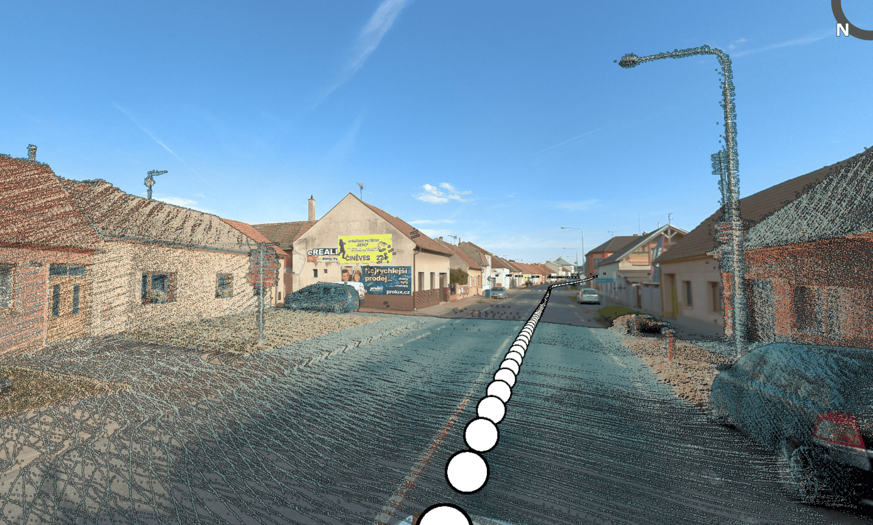
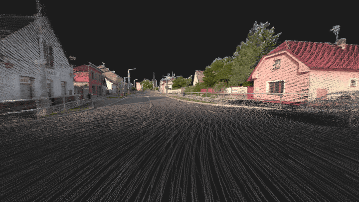
| Data Quality | Lower resolution, limited accuracy | High accuracy, but often prioritize LiDAR over imagery | High-resolution 91MP panos, accurate LiDAR data | High-resolution 75MP panos, accurate LiDAR data |
| Processing Costs | High due to manual processes, not ideal for large projects | High due to proprietary software, vendor lock-in | Flexible workflows, compatible with various software | Flexible workflows, compatible with various software |
| Overall Value | Limited for professional use, best for casual capture | Cost-prohibitive and over-engineered for standard needs | Optimal balance of quality, affordability, and usability | Ideal for city-scale mapping and quick post-procesing | Buy Now |


