
Documenting Lahaina and LA’s Wildfire Damage with Street-Level Imagery
When UCLA and the University of Hawaii’s research programs need high-resolution 360° imagery of wildfire aftermath, they turn to Mosaic cameras.

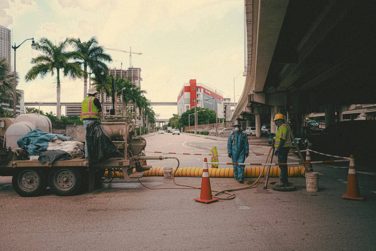
How 360° cameras for public safety are helping first responders and emergency personnel


When UCLA and the University of Hawaii’s research programs need high-resolution 360° imagery of wildfire aftermath, they turn to Mosaic cameras.
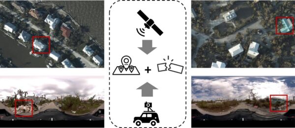
There are some scenes only street-view imagery can capture. These researchers are using Mosaic imagery from Hurricane Ian to train GeoAI models to identify post-disaster damage levels. When Hurricane Ian
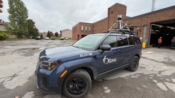
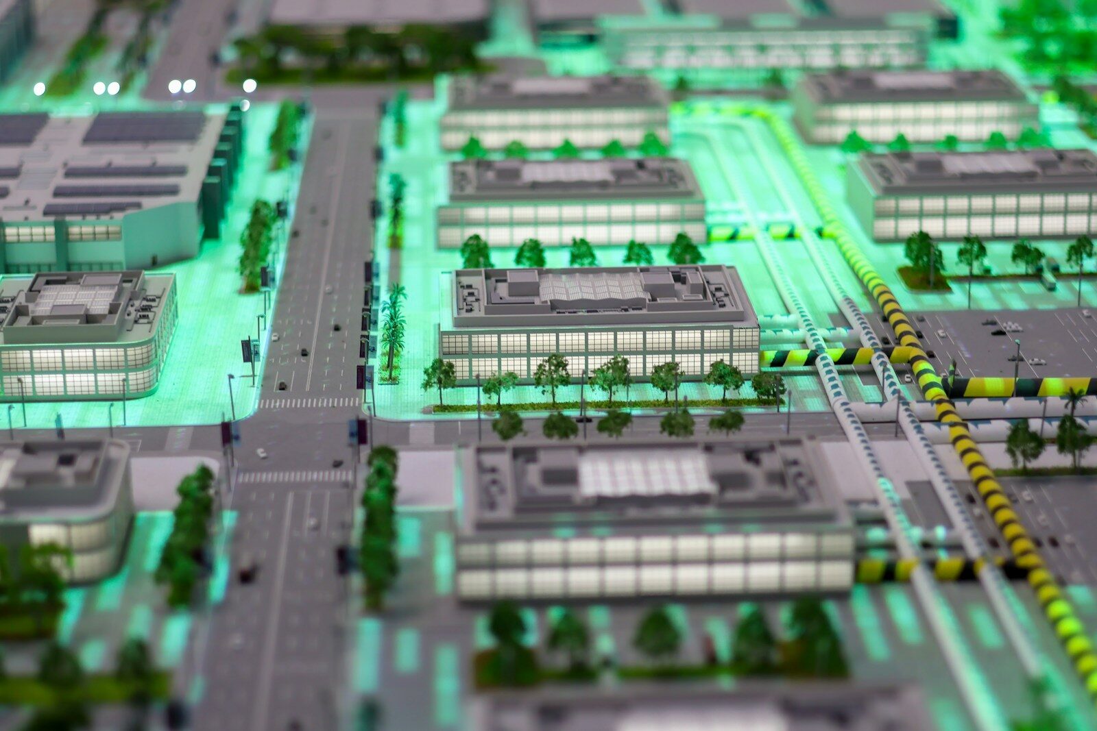
The Mosaic Meridian got a moment in the spotlight on local Ottawa news as city officials implement Smart City technology.


