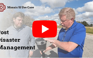
How Texas A&M is Pioneering Damage Assessment Using Mosaic Imagery from Hurricane Milton
Researchers at Texas A&M are using Mosaic-captured imagery to develop disaster resilience frameworks that bridge the gap between satellite data and ground truth
Researchers at Texas A&M are using Mosaic-captured imagery to develop disaster resilience frameworks that bridge the gap between satellite data and ground truth

Developing countries have unique cadastral mapping challenges that 360° street-view imagery can mitigate. Today, we head to Morocco to see how the city of Dakhla saw an immediate ROI with two Mosaic 51 mobile mapping cameras.

How PLACE and Mosaic are reshaping cadastre, tax systems, and climate resilience across five countries

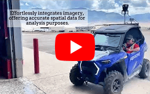
Watch the Mosaic Xplor conduct fast, accurate 3D scans of difficult-to-reach environments.

When UCLA and the University of Hawaii’s research programs need high-resolution 360° imagery of wildfire aftermath, they turn to Mosaic cameras.
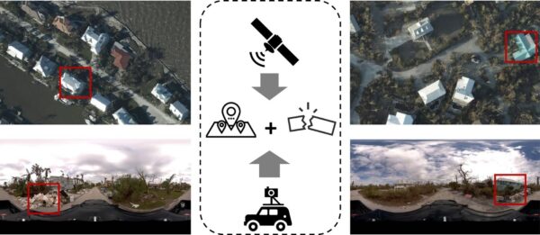
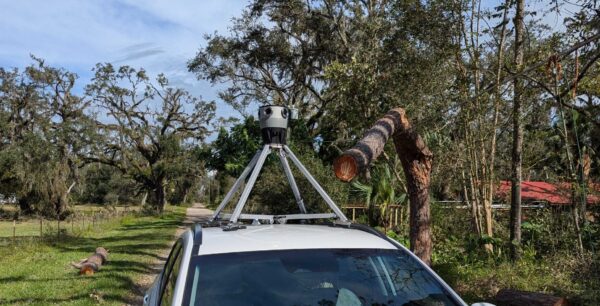
There are some scenes only street-view imagery can capture. These researchers are using Mosaic imagery from Hurricane Ian to train GeoAI models to identify post-disaster damage levels. When Hurricane Ian
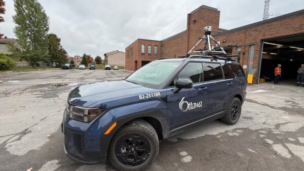
The Mosaic Meridian got a moment in the spotlight on local Ottawa news as city officials implement Smart City technology.
As another hurricane season is currently underway in the US, the lessons from Hurricane Helene remain urgent reminders of the importance of fast, accurate, and shareable visual data.
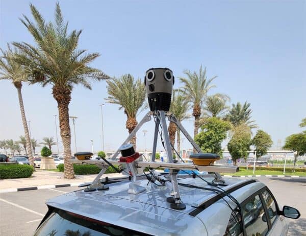
In a recent sales trip to the UAE, the Mosaic Meridian proved that high temperatures are not a reason to stop surveying.