
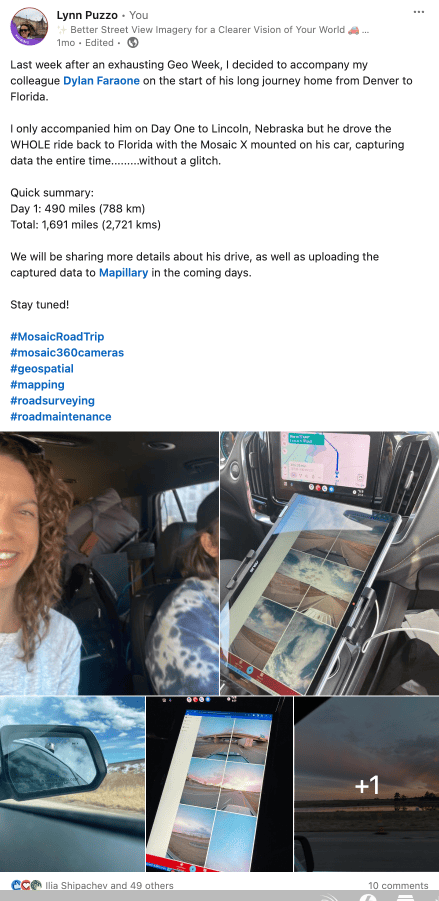
Join the journey with the Mosaic X camera system from Denver, CO to Gaineville, FL with chief operator Dylan Faraone, Mosaic’s Mobile Mapping Solutions Architect.
Curious about Dylan‘s 5-day road trip through nine states after Geo Week in Denver? Join us as we explore his journey, captured with the Mosaic X and uploaded to Mapillary!
📅 5 unforgettable days
🛣️ 1,691 miles (2,721 km)
📹 One camera (Mosaic X)
🎬 One operator (Dylan Faraone)
📍 10m distance-based triggering
💿 1.41TB of data
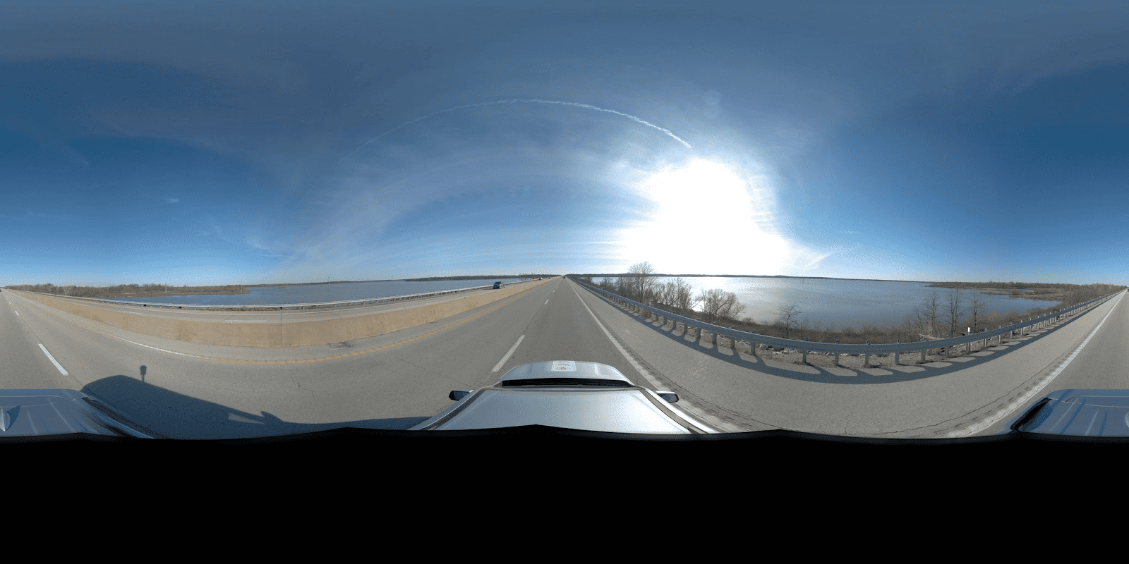
📸 232,538 panos
⏳ 5 days to process
💾 with the largest reel at 210GB
This journey was a rigorous test of endurance, not just for our camera, but for the driver too – it turns out both are pretty good at not taking unscheduled naps 😁 It also put our data processing capabilities to the ultimate test, successfully managing an immense volume of data captured without any issues.
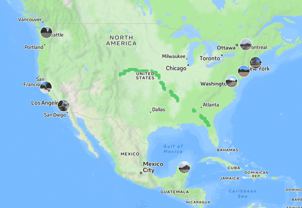
Witness the journey yourself and explore the images Dylan uploaded to Mapillary
More about Mosaic, Mapillary and ArcGIS:
You can learn more about how Mosaic customers can take advantage of Mapillary and ESRI’s ArcGIS in these videos.
And now let the journey begin (ask told by the driver himself).
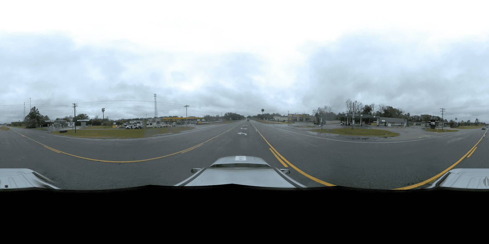
Day 1: Denver to Lincoln, NE
Total distance: 490 miles (788 km)
Total drive time: 9 hours 10 minutes
My first real data capture with Lynn (Mosaic’s Director of Sales & Marketing)!
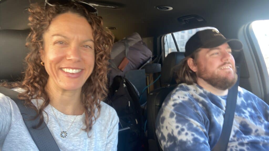
We left Denver around 9am and pushed on to Lincoln. Eventually the sun set, so we turned off the recording for about the last 45 minutes to an hour. I was exhausted, Lynn’s family made us pizza! And we both learned what an ‘ooni’ is.
I was totally refreshed in the morning and ready to drive on to Springfield.
The stop in Lincoln was the only prepared stopping point. The rest of my stops were determined by weather conditions, how I was feeling, making sure I wasn’t too tired to reach some place for the sake of it, and I tried to only drive during daylight hours to get the most out of the camera recordings.
Day 2: Lincoln, NE to Springfield, MO
Total distance: 359 miles (577 km)
Total drive time: 8 hours 23 minutes
There wasn’t much to look at on this drive. But after leaving Clinton, MO it was nice to drive over the water.
This was probably the most boring and uneventful part of the trip. Not much change topographically, so lots of driving through flat areas and small towns.
Day 3: Springfield, MO to Marion, AR
Total distance: 276 miles (444 km)
Total drive time: 4 hours 33 minutes
The day started with a rush to beat the rain, but bad weather loomed over most of the day.
I got off the road that day because long stretches of road before that were damp from rain during the day, caused passing vehicles to send a fine mist that I would need to stop and clean the lenses occasionally.
(As a reminder, all Mosaic cameras – Mosaic 51, Mosaic X and Mosaic Viking are all fully capable of handling the rain and dust, but the data itself isn’t ideal when there are raindrops in the images.)
By the time I got to Marion, the forecast ahead was terrible, and I had already collected imagery in overcast conditions and in the rain. So, I stopped early and took a nice break from the long drives.
Day 4: Marion AR, to Columbus, GA
Total distance: 335 miles (539 km)
Total drive time: 6 hours 35 minutes
It was a very windy morning leaving Marion AR, with gusts up to 24 mph. When I started driving I quickly passed through Memphis, TN and all the fun traffic that was happening due to the heavy construction that was going on.
Shortly thereafter I was driving through Mississippi, and eventually I made it into Georgia. All in all, I was in four states that day even if I was only in Tennessee for a short bit.
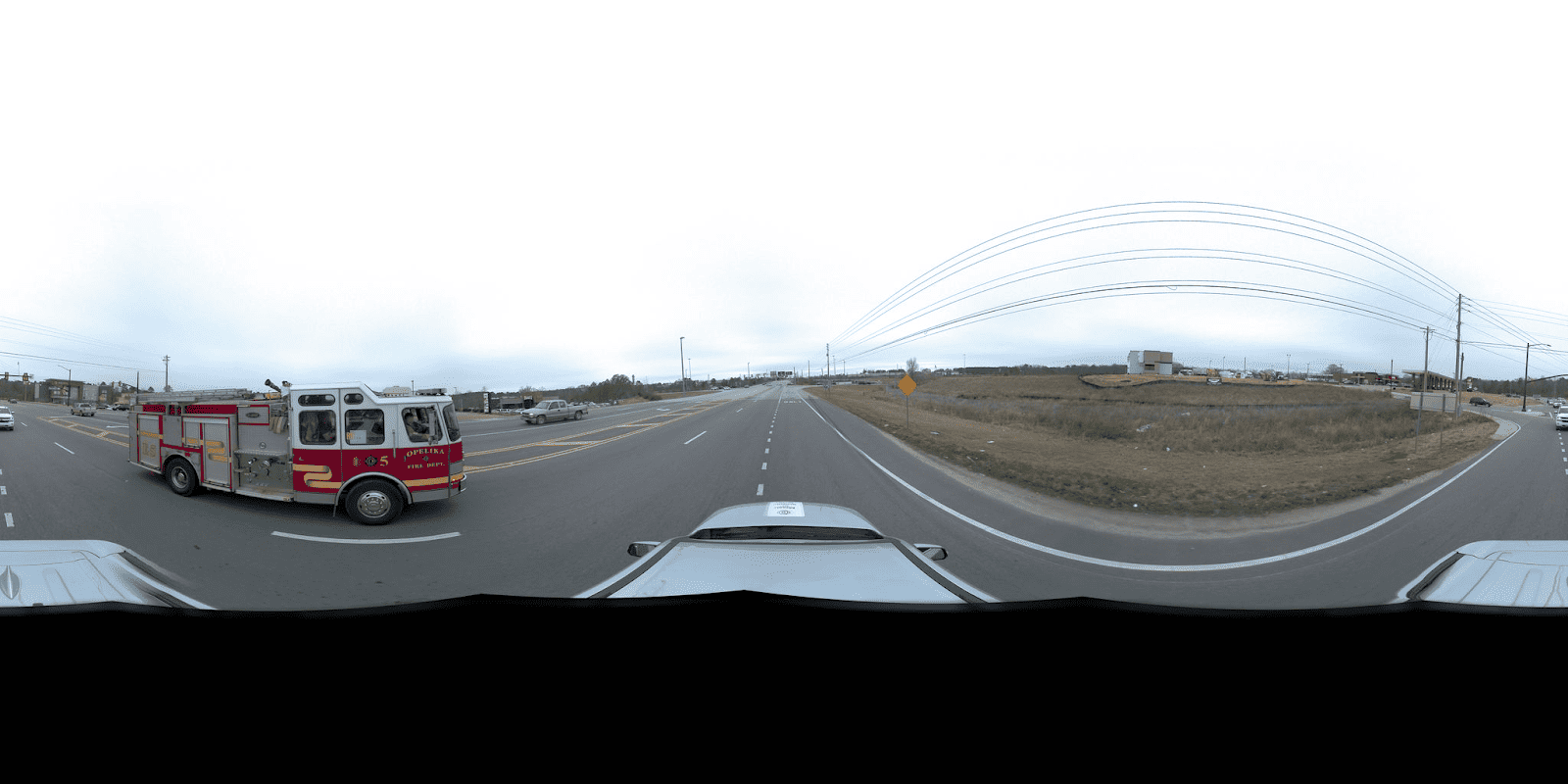
I did get turned around a little bit, and took a wrong turn, but the Opelika Fire Department seemed to get a kick out of seeing the camera on top of the car.
It is always fun to see people’s reaction when they notice the camera on top of the car. Some people smile, wave, point and get the attention of their companions, and as you guessed it, some even make the occasional rude gesture.
While it was not the most eventful day, it was a satisfying end knowing my journey was almost at a close and I’d be home in my bed the next day.
Day 5: Columbus, GA to Gaineville, FL
Total distance: 231 miles (372 km)
Total drive time: 4 hours 35 minutes
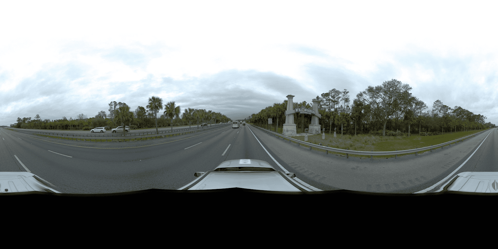
Day started off fine, but Florida greeted me with rain. Nearly the entire trip back home was overcast or raining, or raining heavily.
I eventually pulled off at a gas station where the recording ended. I stopped before getting to my hometown of Gainesville because this gas station wasn’t too far from home, and it had a huge overhang roof where I could take the camera off the vehicle without having to get rained on myself. Whereas at home I don’t have a covered area to park the car, so I would’ve gotten soaked taking all the equipment down.
How can we help you? If you’re looking for a reliable solution to map your roads, highways or freeways, let us know and we’d be more than happy to help!


