Mosaic 51
Most durable, precise and practical panoramic 360º camera for urban mapping & surveying.
Built to get dirty
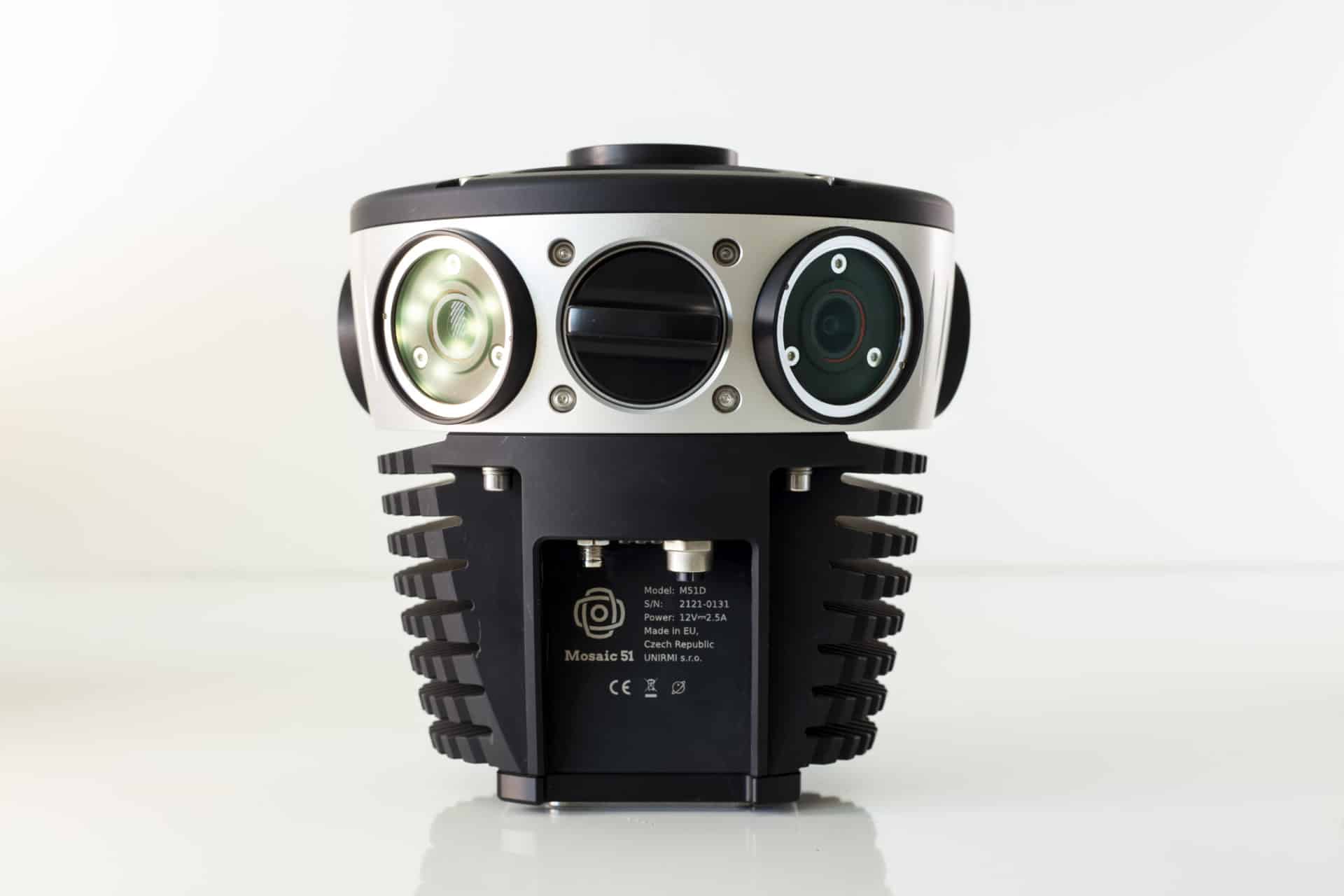
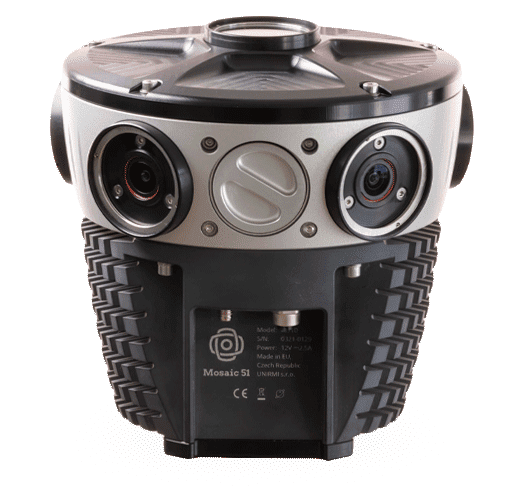
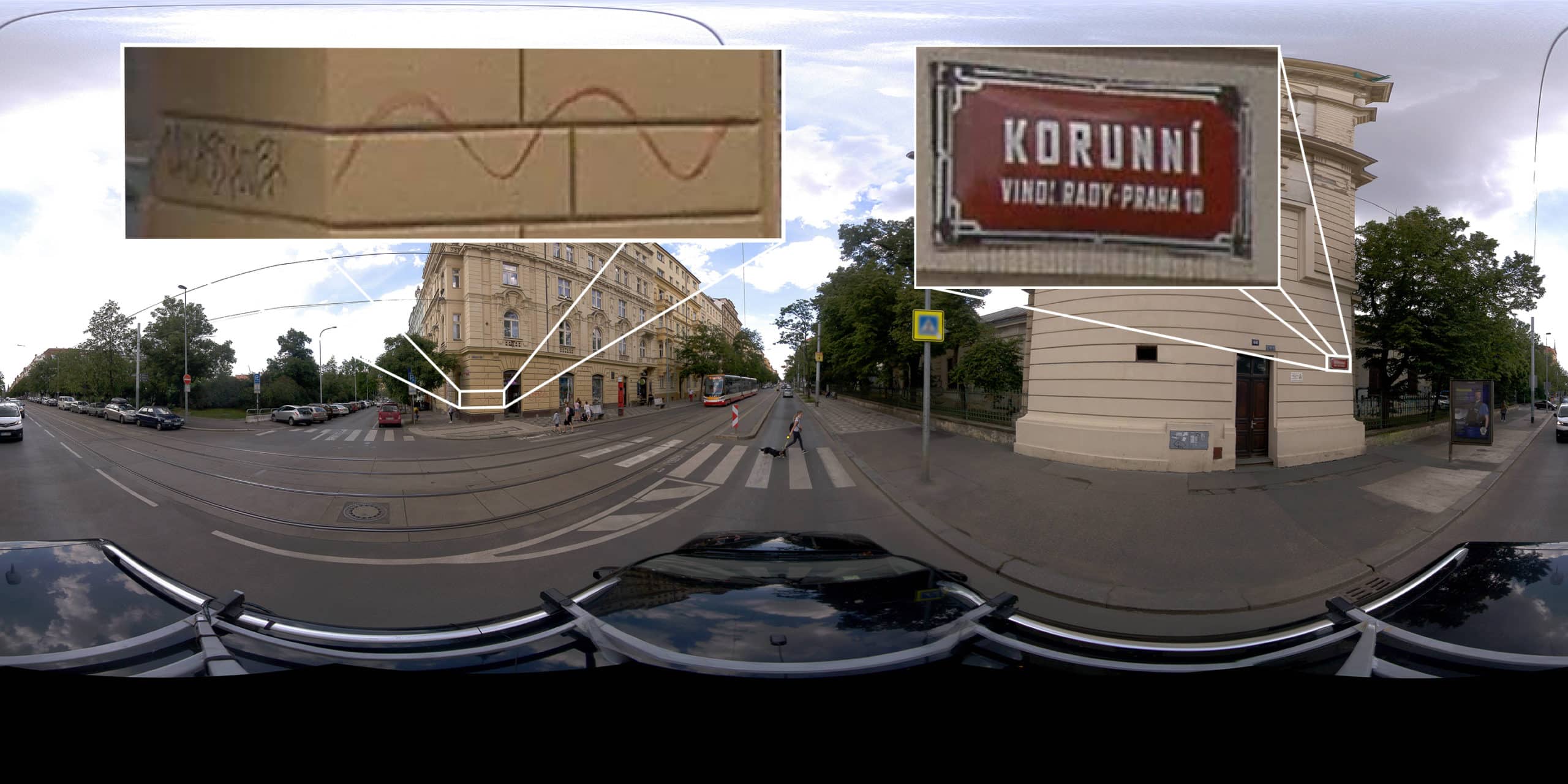
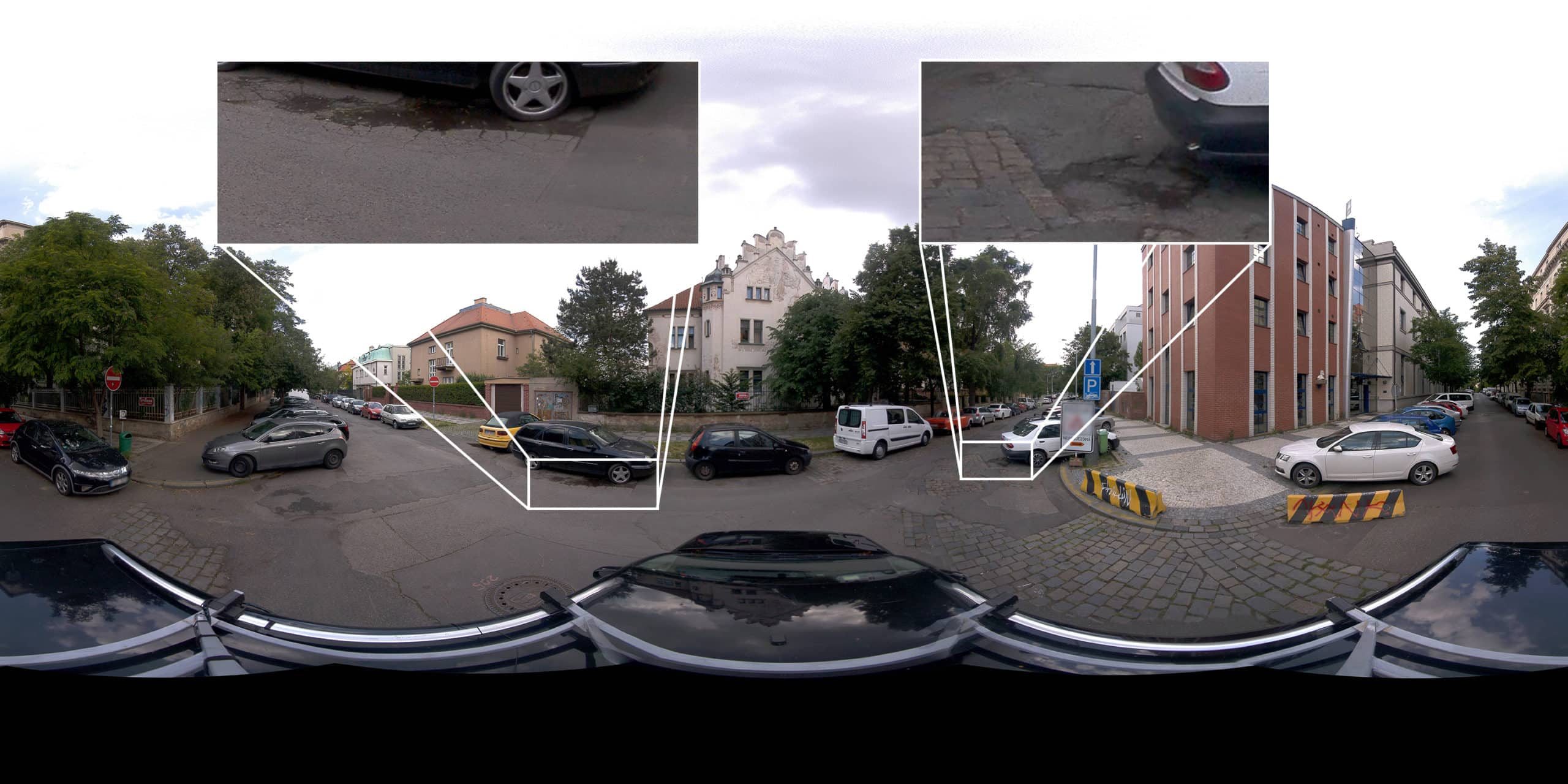
Purpose-built, AI-compatible, rugged 12.3K-resolution panoramic 360º camera for HD surveying, GIS, and infrastructure inspection.
- Easily manageable, standalone unit, single manned operation with minimal training.
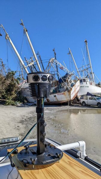
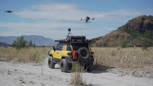
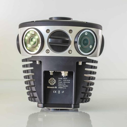
- Robust industrial frame & connectors to withstand the cold, the heat, water, dust, and poor road conditions.
- Onboard GNSS receiver, built-in computer, and large internal storage to capture all day without a dedicated workstation.
- Proudly designed and manufactured in Europe.
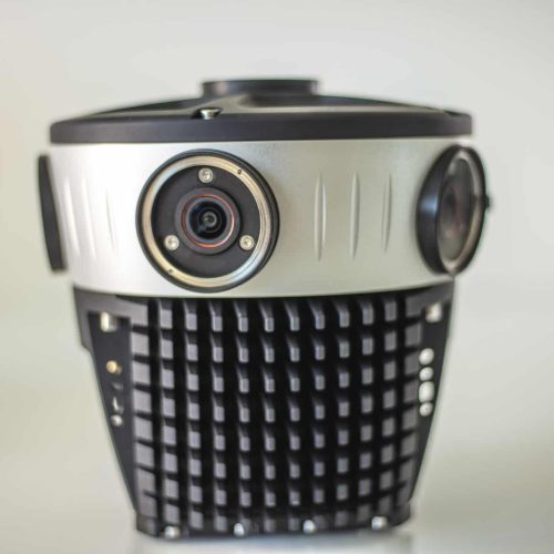
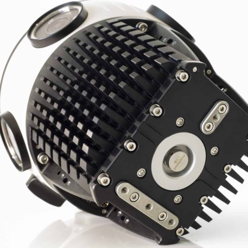
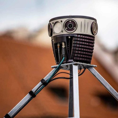
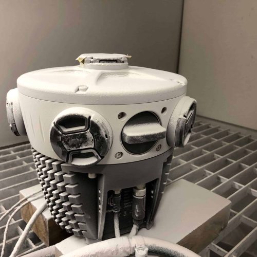
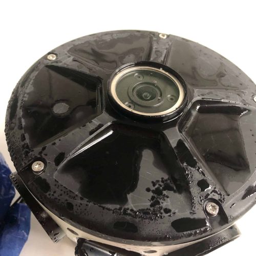
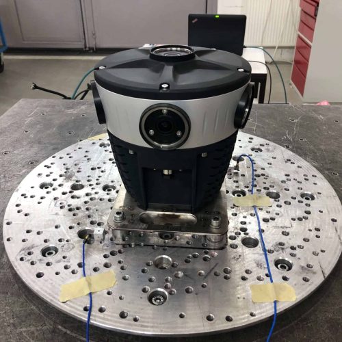
How can you benefit from the rugged Mosaic 51?
Gain greater insight of your environments
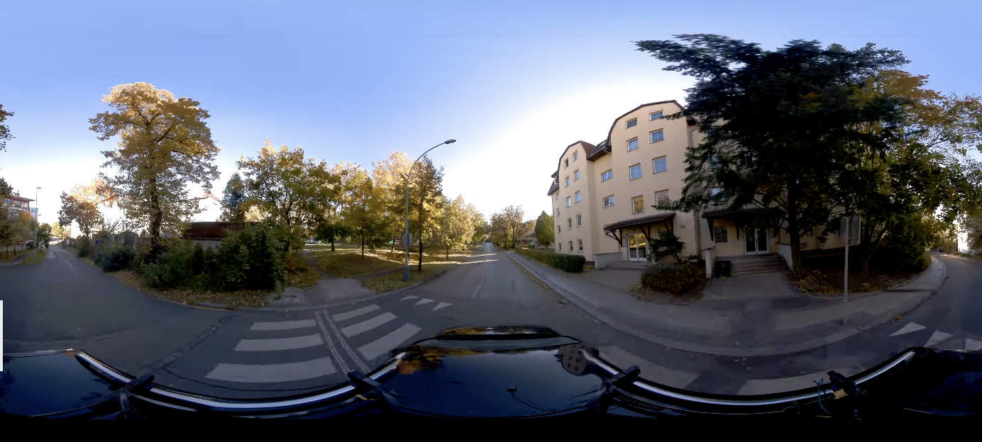
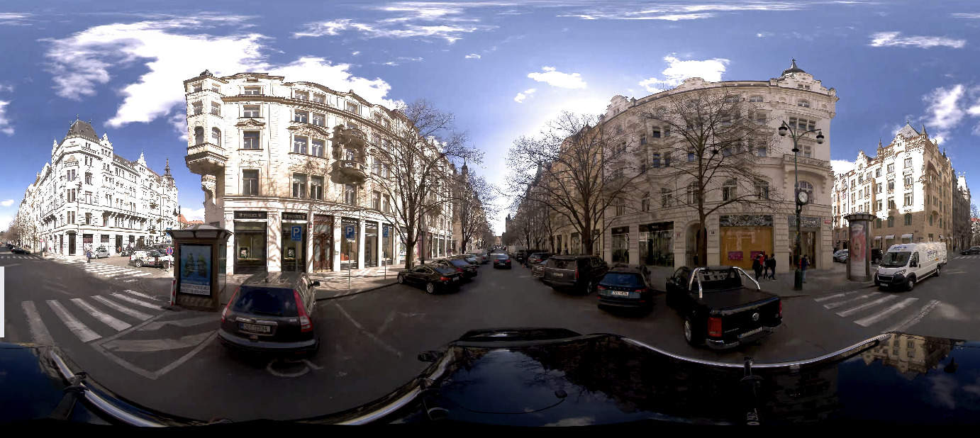
With the highest resolution, standalone unit, you can quickly capture the necessary street-level images of your sites, streets, and towns to make better informed decisions.
Decrease operational costs & increase efficiency
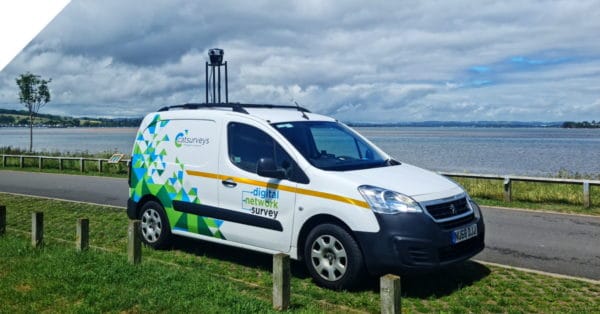
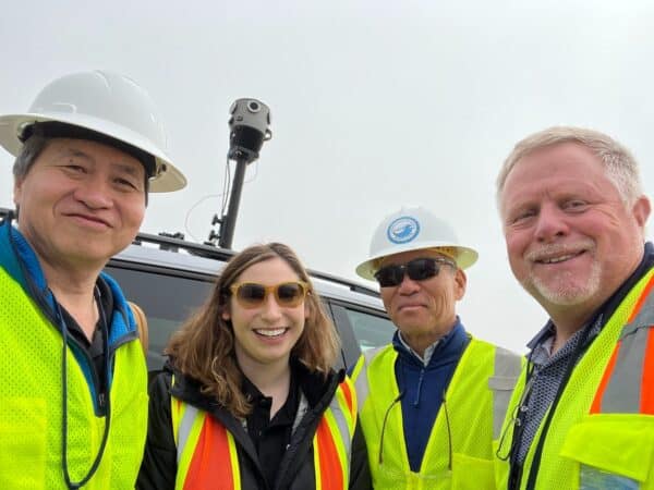
The Mosaic 51 was built to be easy to use, requiring only one person who is both driver and operator. No need for lengthy training, a computer on board, or repeat site visits. Capture one time and utilize ten fold.
Increase your project capacity & sales
With a robust device you can count on and which collects data faster, win more proposals, fulfill deadlines on time and build more trust with clients.
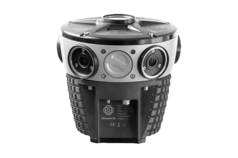
Technical Highlights
- 6 x 12.35 MP sensor camera
Equirectangular Pano: 12.3K - Pixel dimensions: 1.55 μm (H) × 1.55 μm (V)
- Rolling shutter sensors
- Internal GNSS & storage (1-2TB)
- Integrate with external IMUs, GNSS, and LiDAR. Read more ›
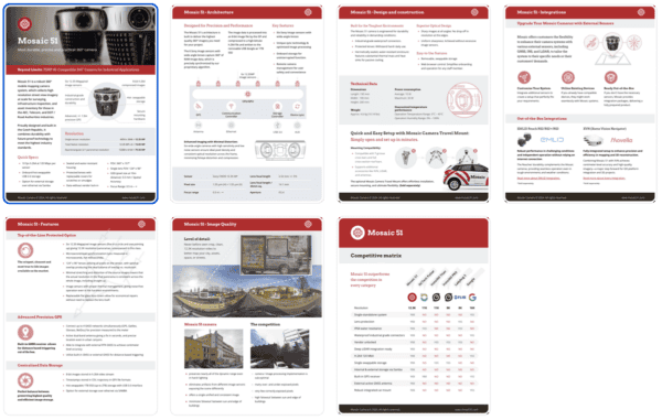
Get Full Specs & Features PDF
Request a 7-page PDF for all Mosaic 51 Camera information:
- technical specifications
- detailed product features
- benefits and applications
- competitors comparison
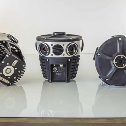
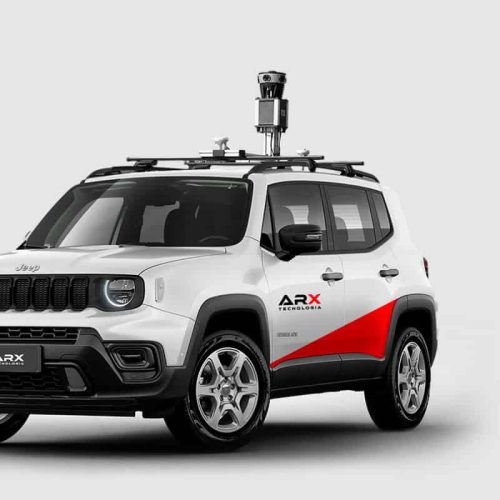
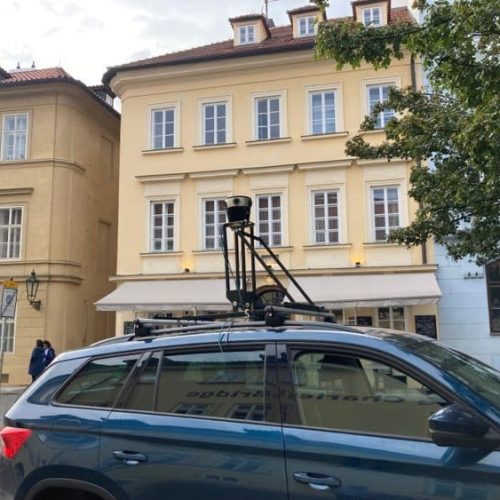
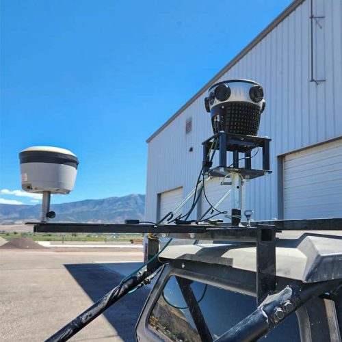
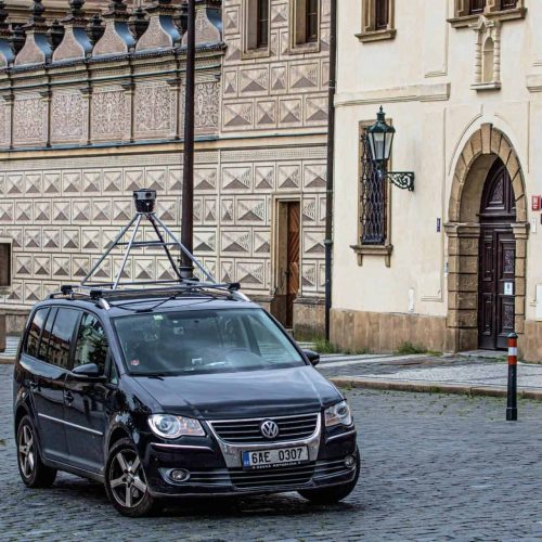
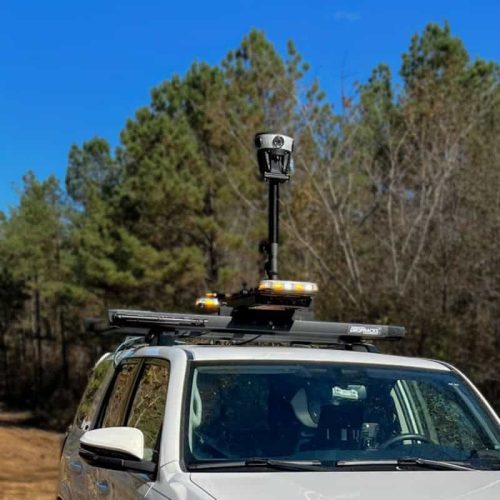
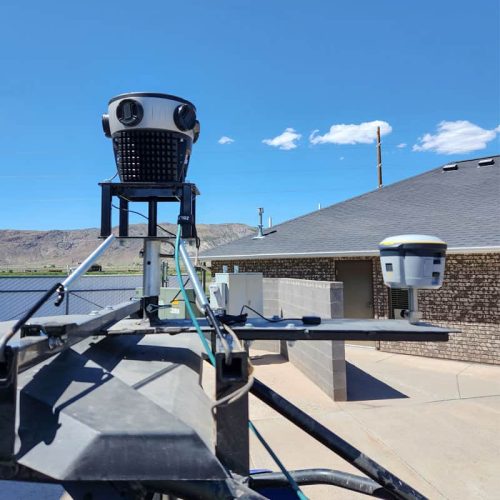
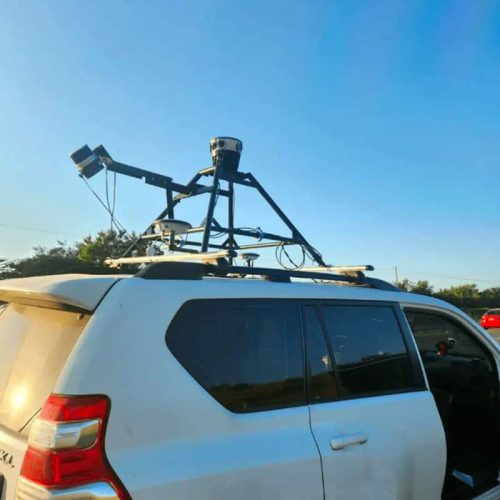
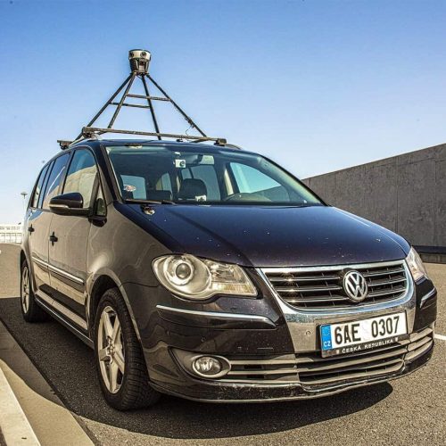
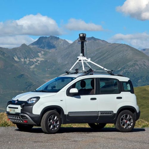
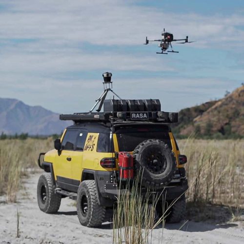
Robust, standalone & lightweight Mosaic 51


Discover Real Customer Success Stories
There’s no better testament to product quality than real customer experiences. Delve into our case studies to explore the challenges we’ve successfully addressed!
Want More Examples of the Mosaic 51 in Action?
Get a short summary of ALL of our customer case studies to see how teams across different industries are using this mapping solution for real-world.
What our customers love most about the Mosaic 51


Capture 360º street-level images to provide the solutions for your projects
See who benefits from the purposely-built Mosaic 51:
Land Surveying &
Mapping Companies
Travel more places, collect data faster than before, and ensure that you are mapping all of the streets, roads and trails within your scope, with a street-level view in 360º.
Telecommunication &
Utility Companies
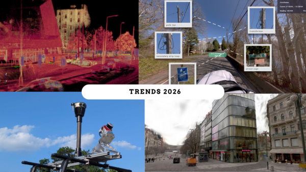
Gain a better view of your powerlines, right of way, telephone poles and more. Capture the highest quality images with the least amount of work.
Local Governments
& Municipalities
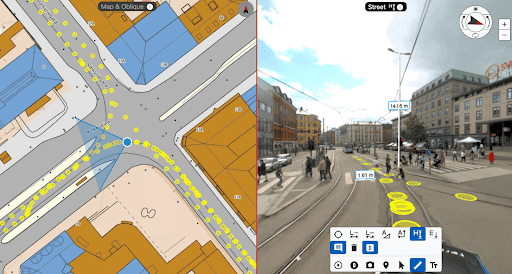
Know what services are or aren't already in your community. Keep an inventory of street furniture and their conditions. Create a better environment for your citizens.
Road & Infrastructure
Maintenance Crews
Ensure greater safety and prolong the life of current infrastructure with more consistent maintenance checks. Have the data to react faster to potential risks.
See what you can do with the 360° panoramic camera
Playlist
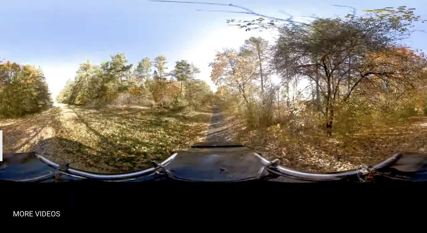



![Mosaic 51: Easy-To-Use 360° Camera [Robust and Compact Solution for Surveying and Mobile Mapping]](https://img.youtube.com/vi/ArGmBpccsc0/maxresdefault.jpg)
![Transforming Telecom Surveying: Catsurveys' Review of Mosaic 51 [Mobile Mapping 360° Camera]](https://img.youtube.com/vi/Js0DUgVbDbo/maxresdefault.jpg)
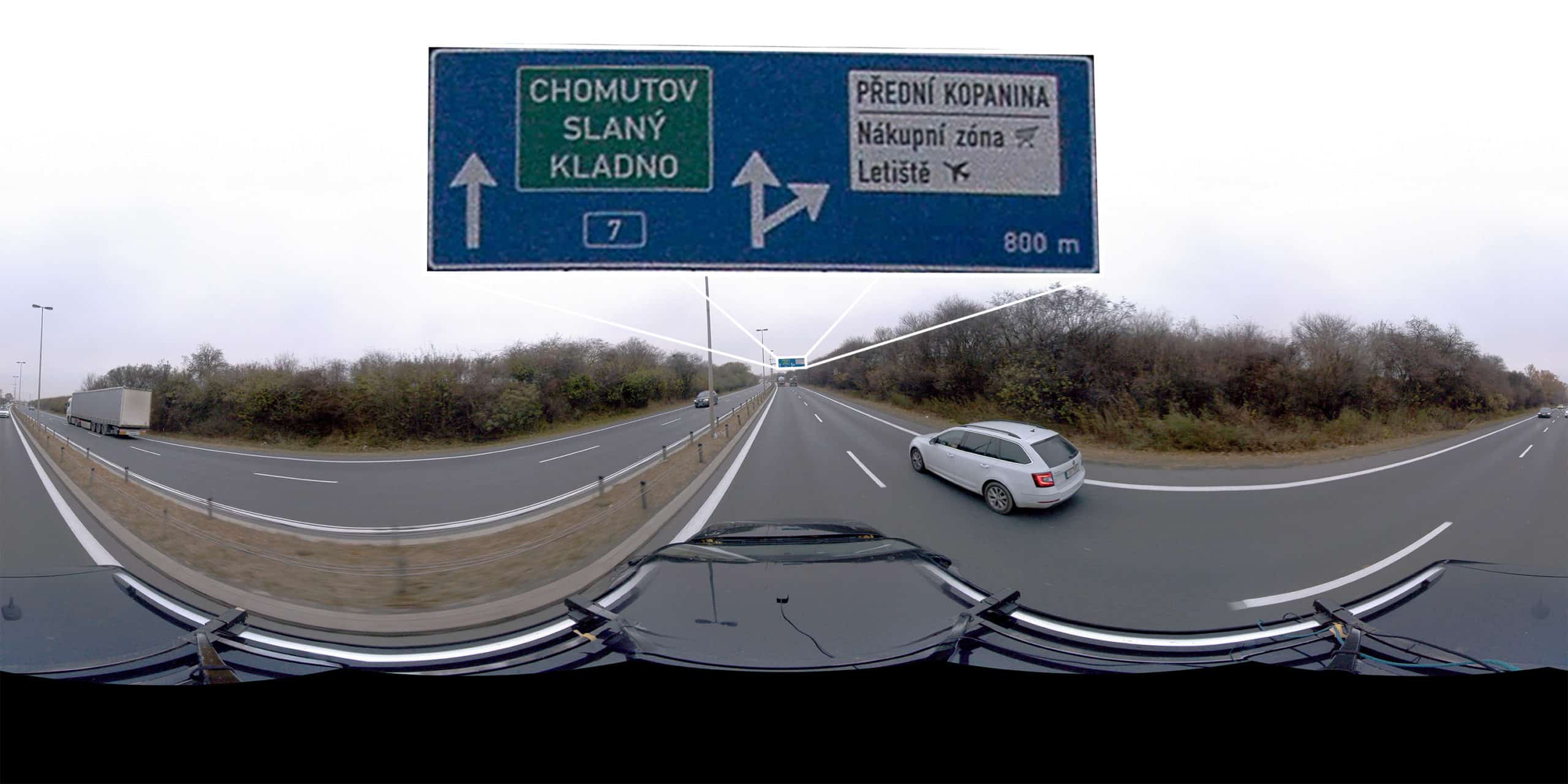
Quick Start Guide: Capture with Mosaic 51
Check out our How-To videos and master the operation of Mosaic 360° Panoramic Cameras with step-by-step guidance. Get reliable data for street view and asset management effortlessly! 👉🏽

