Fly North: Integrating Street View Mapping with Drone Surveying
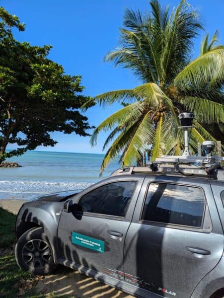
Discover how the Mosaic 51 improved Fly North’s ground capture capabilities to map 4,500 km of Colombia’s toughest environments.

Transform utility mapping with accurate, high-resolution 360° imagery and data collection for efficient asset management and surveying


Discover how the Mosaic 51 improved Fly North’s ground capture capabilities to map 4,500 km of Colombia’s toughest environments.
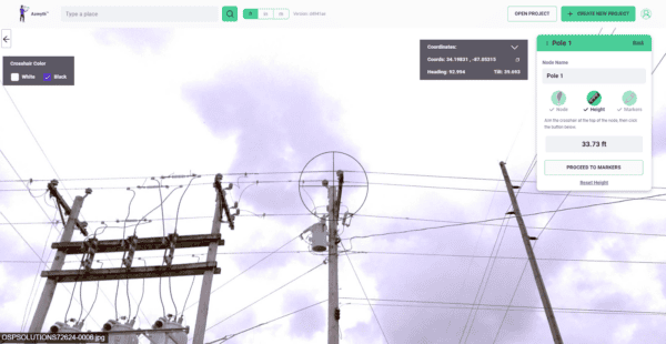
Learn how high-resolution 360° imagery, paired with Vulcan’s Azmyth platform, slashes costs by 70% and speeds up project timelines, setting new standards in the industry.
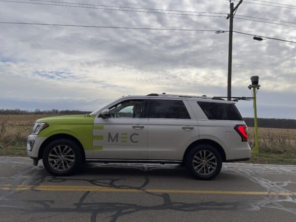
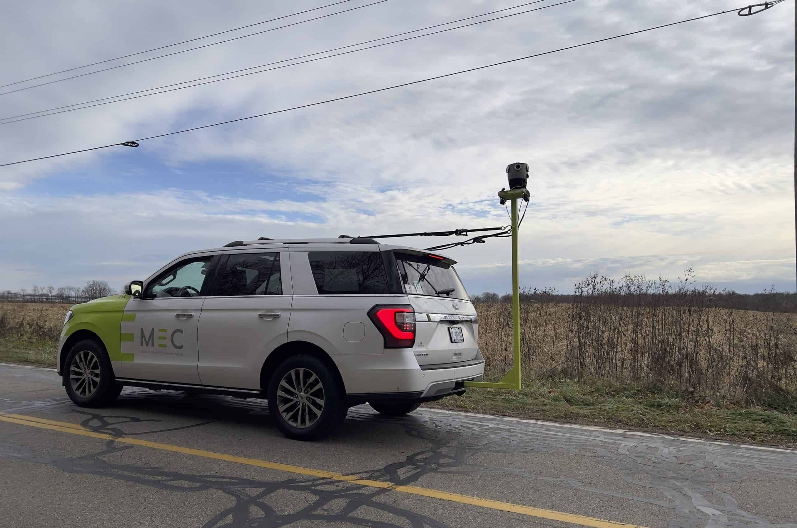
Read how Midwest Energy & Communications harnessed their Mosaic X camera for superior data capture, resulting in streamlined operations, improved safety, and high-quality infrastructure mapping, driving forward their utility services.


