
Reality Capture with the Xplor at MERO Crude Oil Facilities
Watch the Mosaic Xplor conduct fast, accurate 3D scans of difficult-to-reach environments.
Watch the Mosaic Xplor conduct fast, accurate 3D scans of difficult-to-reach environments.

When UCLA and the University of Hawaii’s research programs need high-resolution 360° imagery of wildfire aftermath, they turn to Mosaic cameras.
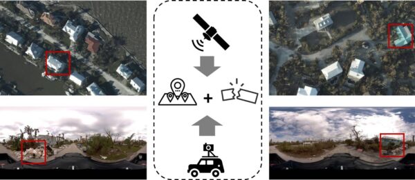
There are some scenes only street-view imagery can capture. These researchers are using Mosaic imagery from Hurricane Ian to train GeoAI models
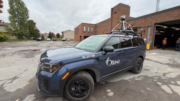
The Mosaic Meridian got a moment in the spotlight on local Ottawa news as city officials implement Smart City technology.
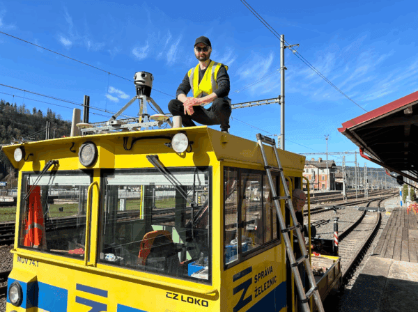
Our cameras aren’t just for cars! AirView and Mosaic mounted a camera onto a train to capture georeferenced imagery of railway corridors.
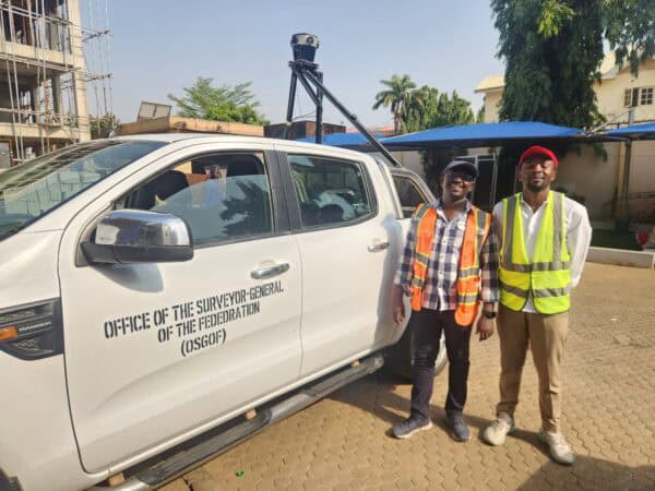
Building smart cities starts with a smart digital model. Follow Nigeria’s largest cities as they use mobile mapping to improve infrastructure.


