
Keep Railway Projects on Track with Mosaic and AirView
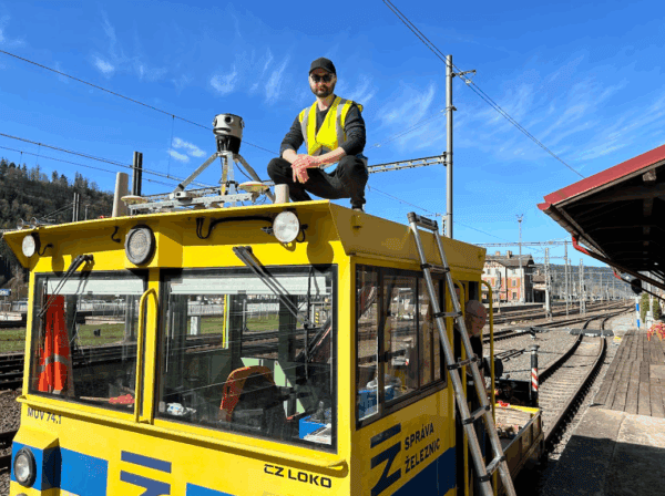
Our cameras aren’t just for cars! AirView and Mosaic mounted a camera onto a train to capture georeferenced imagery of railway corridors.

Our cameras aren’t just for cars! AirView and Mosaic mounted a camera onto a train to capture georeferenced imagery of railway corridors.
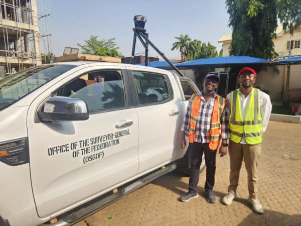
Building smart cities starts with a smart digital model. Follow Nigeria’s largest cities as they use mobile mapping to improve infrastructure.
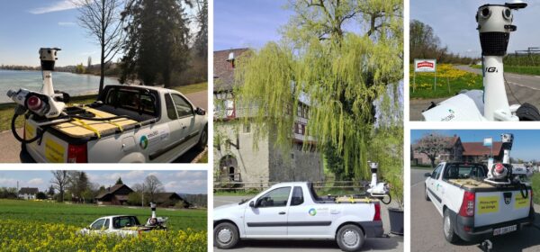
IGI successfully integrated the Mosaic X camera onto the existing StreetMapper-V platform.
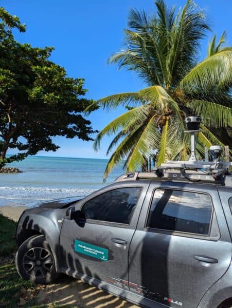
Discover how the Mosaic 51 improved Fly North’s ground capture capabilities to map 4,500 km of Colombia’s toughest environments.
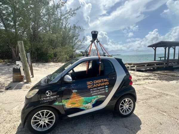
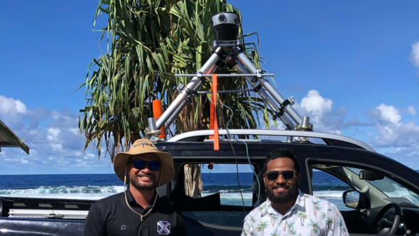
Virtual Space is meeting the unique mapping needs of the Cayman Islands with the Mosaic 51.
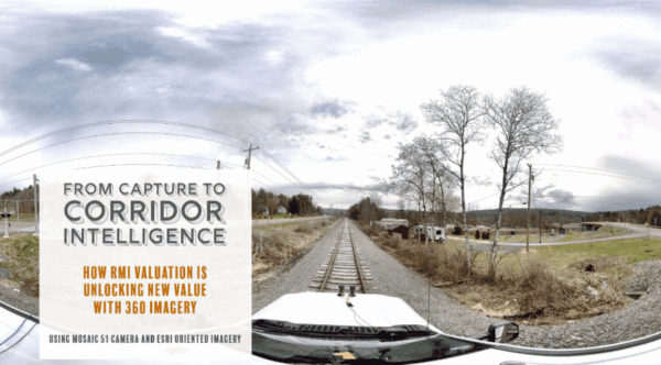
RMI Valuation is transforming the way railroad corridors are documented, valued, and managed using 360° imagery captured with Mosaic cameras.