
How ground-level imagery enhances disaster response and insurance claims processing
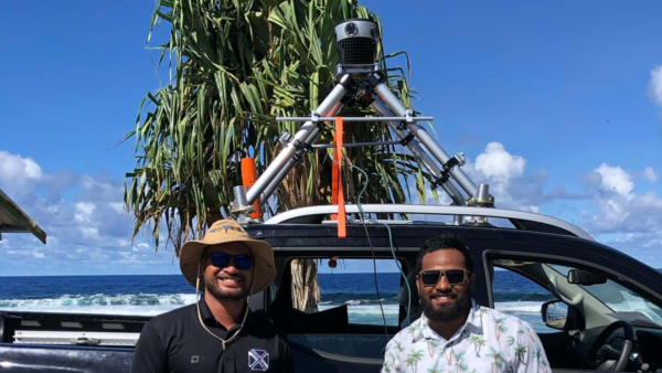
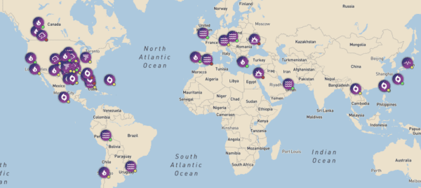
During emergencies, every hour counts. Learn how McKenzie Intelligence Services uses Mosaic’s mobile mapping camera system to speed up the insurance claim

During emergencies, every hour counts. Learn how McKenzie Intelligence Services uses Mosaic’s mobile mapping camera system to speed up the insurance claim
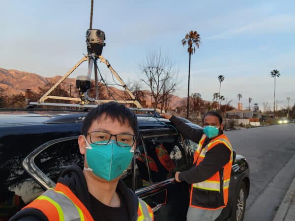
Mosaic had the opportunity to speak with UCLA researchers about the devastating 2025 L.A. wildfires.
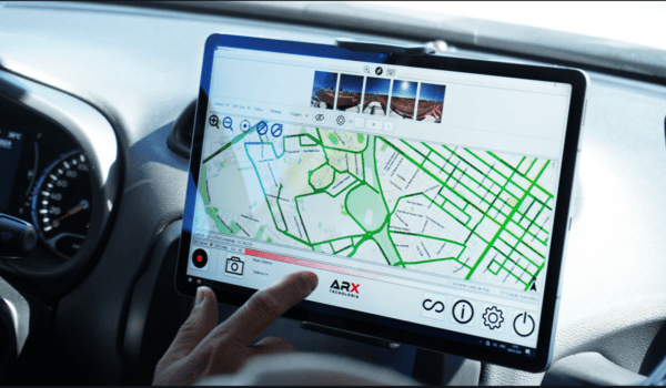

Mosaic and ARX have teamed up to provide Brazil with the highest-resolution imaging available for urban infrastructure and cadastre projects.
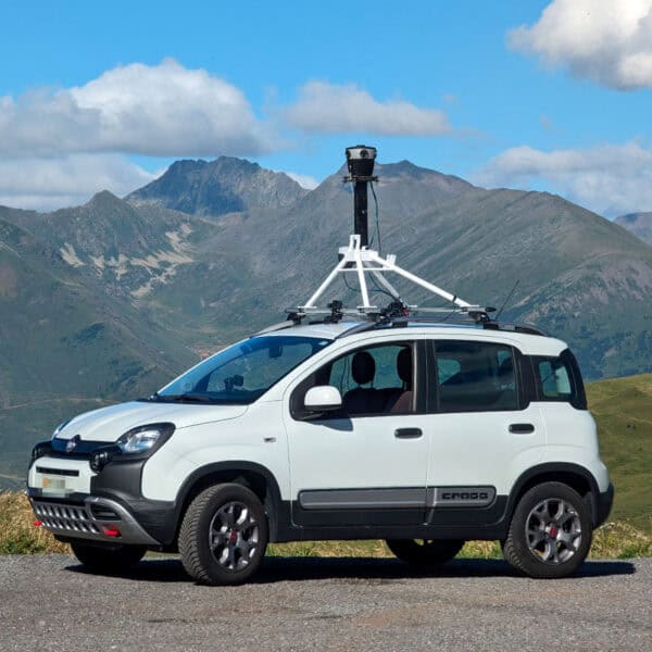
Mosaic’s collaboration with Chulalongkorn University’s Smart Mobility Research Center promises to improve 3D mapping capabilities to meet the needs of transportation infrastructure
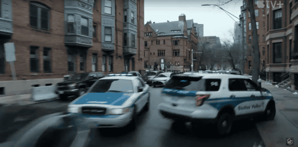
How the VFX team saved time and reduced costs by capturing 6 miles of high-quality data at driving speeds—with no road closures,
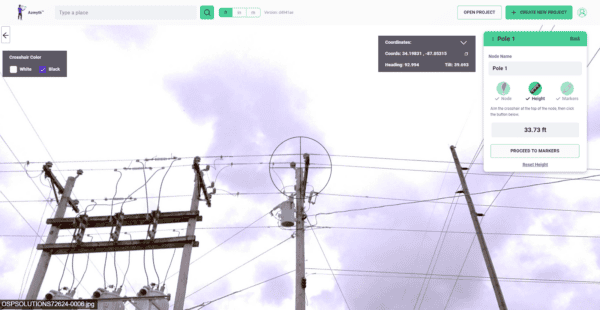
Learn how high-resolution 360° imagery, paired with Vulcan’s Azmyth platform, slashes costs by 70% and speeds up project timelines, setting new standards