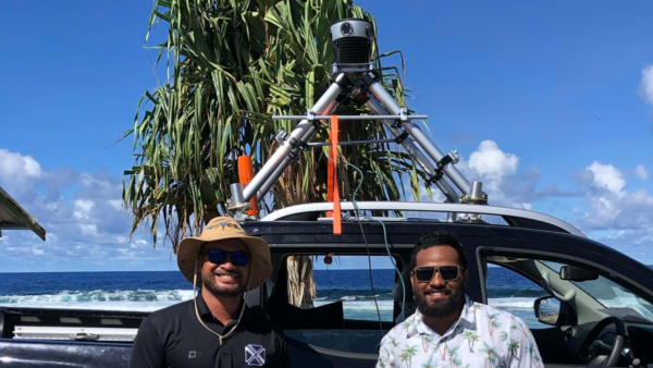
University of Hawaii’s National Disaster Preparedness Training Center used Mosaic X 360° imagery and its YOLOv12 AI model to quantify street-level infrastructure loss after the 2023 Lahaina wildfire.
On August 8, 2023, a wildfire swept through Lahaina, Maui, burning approximately 2,170 acres, destroying more than 2,200 structures, and claiming 102 lives. It remains one of the most destructive urban fires in United States history.
A research team from the National Disaster Preparedness Training Center (NDPTC) at the University of Hawaii at Manoa set out to answer the question: along a roughly two-mile stretch of Lahaina’s Front Street, how much street furniture survived?
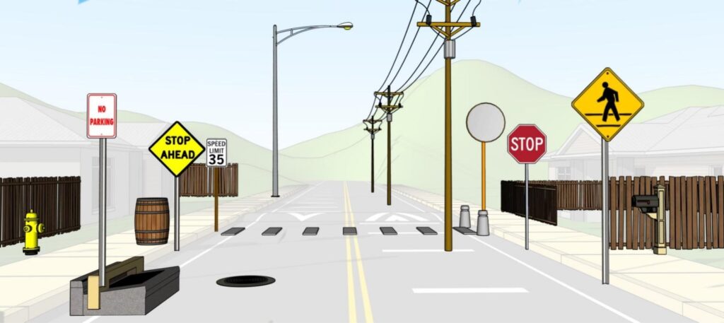
Street furniture includes traffic signs, light poles, electric poles, crosswalks, fire hydrants, bollards, and other roadside infrastructure. After a disaster, knowing exactly what is missing (and from where) helps determine how quickly a community can restore critical services.
The full study, “The assessment of fire damaged street furniture in Lahaina, Maui, using YOLOv12 and 360° imagery,” was published in Transportation Research Interdisciplinary Perspectives in May 2026.
It combined pre- and post-fire panoramic imagery with YOLOv12, the latest generation of the “You Only Look Once” AI object detection framework, to automate that accounting at scale.
The paper’s abstract is as follows:
Using 360° imagery before and after the 2023 Lahaina fire disaster, damage to street furniture including traffic signs, control devices, street lighting, utility poles, and other objects is assessed. In addition to describing the collection of panoramic 360° images using a Mosaic X camera, the detection and characterization of objects using YOLOv12 and other software are described. Accuracy, reliability, and bias associated with data collection and analysis are discussed for the most common types of street furniture. The research and machine vision tools are helpful for emergency management and for routine repair and maintenance operations. The technologies and processes contribute to the development of digital roadway twins and novel applications for transportation planning, operations, repair, and construction of critical roadway infrastructure.
Why the Mosaic X was the right camera for post-disaster data capture
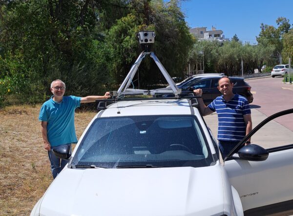
Pre-fire imagery for the study came from Google Street View (GSV) and was captured in October 2019, but the post-fire imagery was collected in the field by Dylan Farone of Site Tour 360 using a Mosaic X mobile mapping system.
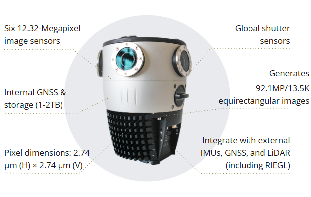
The Mosaic X produces equirectangular panoramas at 13.5K resolution, about 91 megapixels per frame, and uses six synchronized global shutter sensors. Its integrated GNSS and IMU system maintains georeferenced accuracy even when infrastructure damage disrupts satellite signals, which is a common condition in post-disaster environments.
However, Google Street View, as the paper notes, lacks frame-level GPS consistency and metadata granularity because its primary role is in public navigation. That limits GSV’s usefulness for analysis, but the Mosaic X provided high-resolution, accurately positioned, and consistently formatted imagery that an AI model needs.
YOLOv12 street furniture detection
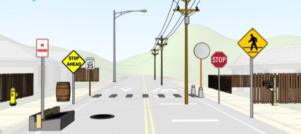
The YOLOv12 model was trained on a custom library of 16 street furniture classes, including electric poles, light poles, crosswalks, stop signs, fire hydrants, manhole covers, bollards, and mailboxes.
The before-and-after comparison produced precise loss figures from the wildfire. For example, light poles showed a persistence rate of 59.4%, meaning about 4 in 10 were gone or no longer detectable. Crosswalks were among the most durable, persisting at 90.4%, likely because their surface markings survived even where surrounding structures did not.
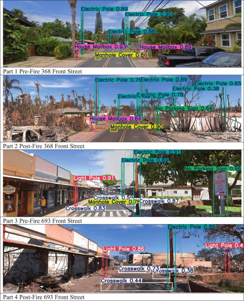
The image below shows two sections of Lahaina’s Front Street before and after the wildfires, with detected street furniture marked. However, it is important to note that the YOLOv12 model detected burned tree trunks as electrical poles, and sometimes failed to identify street furniture in the post-disaster imagery that is obscured by debris or ash, such as the manhole cover that should have been detected in Part 4.
These weaknesses in the model highlight the need for more high-resolution post-disaster imagery for AI model training.
The future of AI street furniture detection models
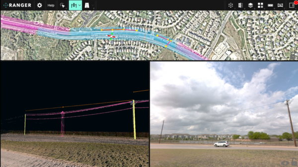
The practical implications for AI-based object detection extend well beyond this specific case. The research team outlines a framework in which object detection results feed directly into GIS-based asset management systems, which would give emergency managers a picture of what needs to be repaired, replaced, or inspected. Rather than sending crews out street by street, responders can prioritize based on street-view imagery.
The study also positions this workflow as a foundation for digital twins: digital records that can be updated over time and compared across disaster events. The same approach that works for wildfire damage applies to routine infrastructure maintenance, pavement monitoring, and long-term climate resilience planning.
This is the same principle behind Mosaic’s broader work in disaster documentation, where high-resolution, accurately positioned imagery allows a single operator in a standard vehicle to capture post-disaster conditions in hours rather than weeks.