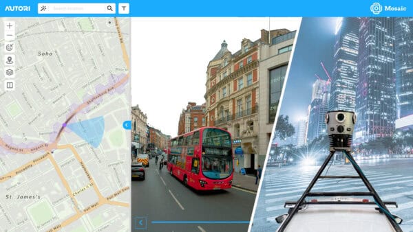
Autori and Mosaic Announce Strategic Partnership to Deliver Turnkey Visual Infrastructure Solutions
Now you can seamlessly integrate Mosaic’s high-resolution imagery with Autori’s Saas-based work and data management systems.
Now you can seamlessly integrate Mosaic’s high-resolution imagery with Autori’s Saas-based work and data management systems.
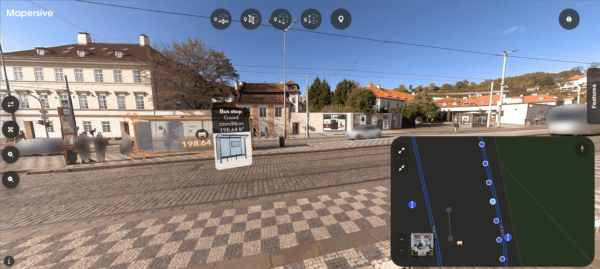
Explore how Mosaic’s advanced 360-degree imagery, captured using high-resolution cameras, enhances AI-assisted feature extraction and asset recognition in mobile mapping applications.
The combination of 360 imagery with GIS, especially 3D GIS and Reality Mapping brings a new level of detail and immersion to
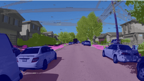
Discover an all-in-one solution with Mapillary and Mosaic for automatic, free AI on street view imagery. Learn step-by-step how to integrate high-res
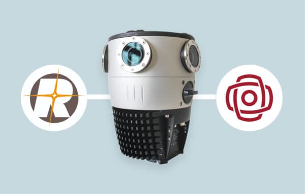
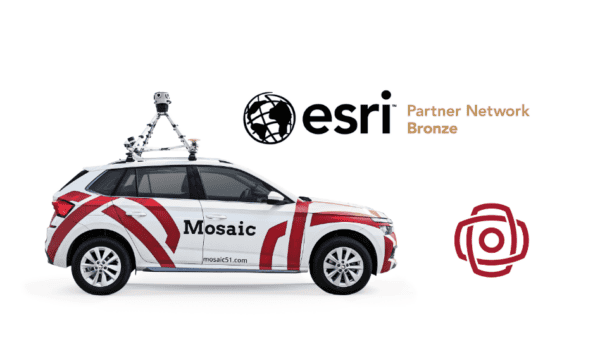
Announcing the compatibility of the Mosaic X 360º camera with RIEGL’s mobile mapping laser scanning systems.
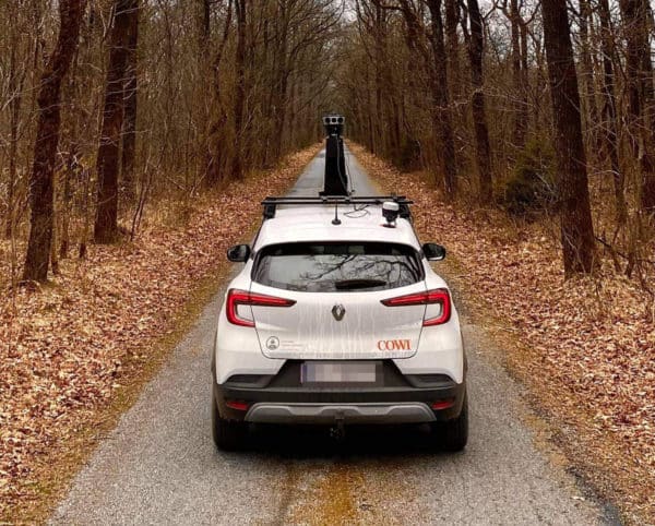
Previously mapping and surveying companies had to choose between high image resolution and high positioning accuracy. Now, they can easily achieve both


