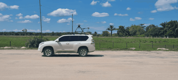
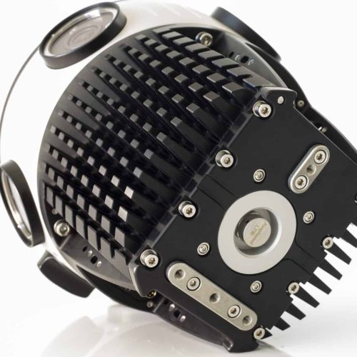
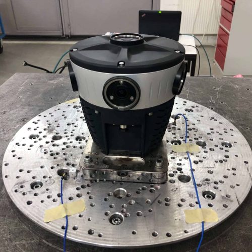
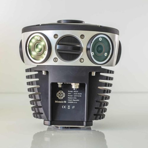
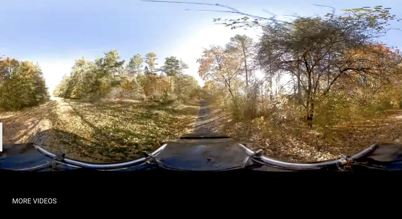
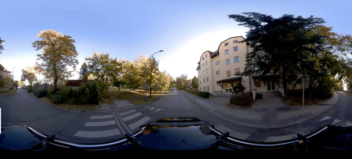
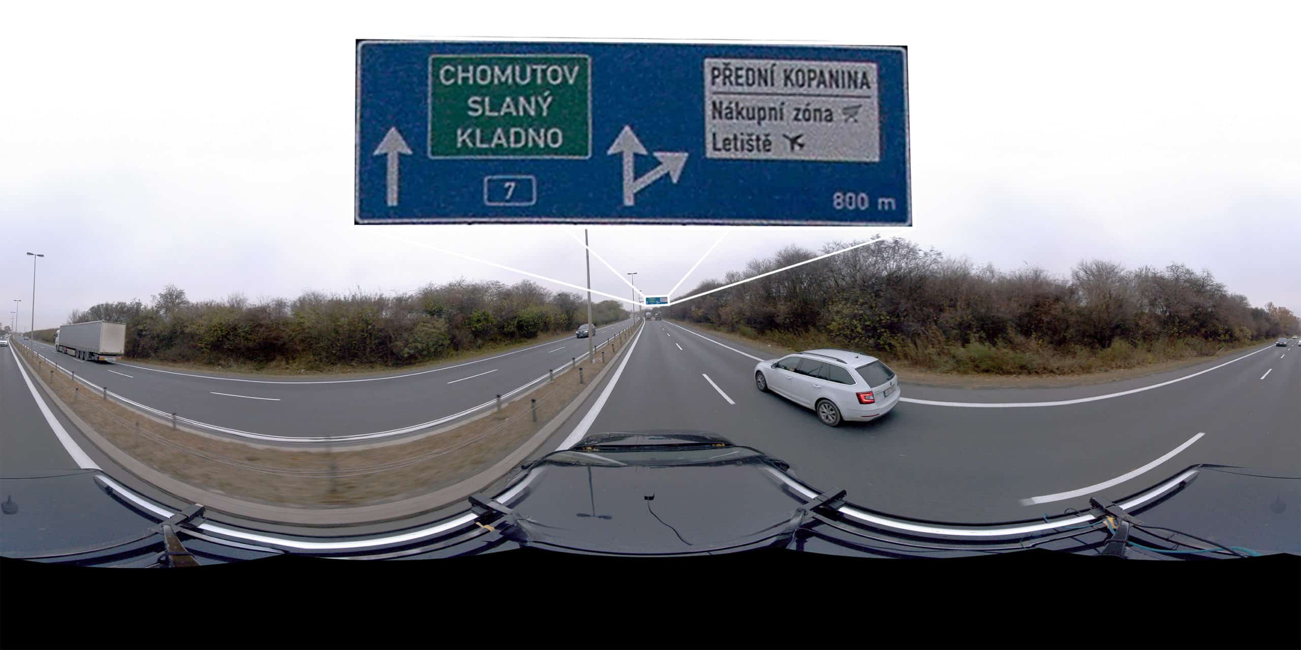
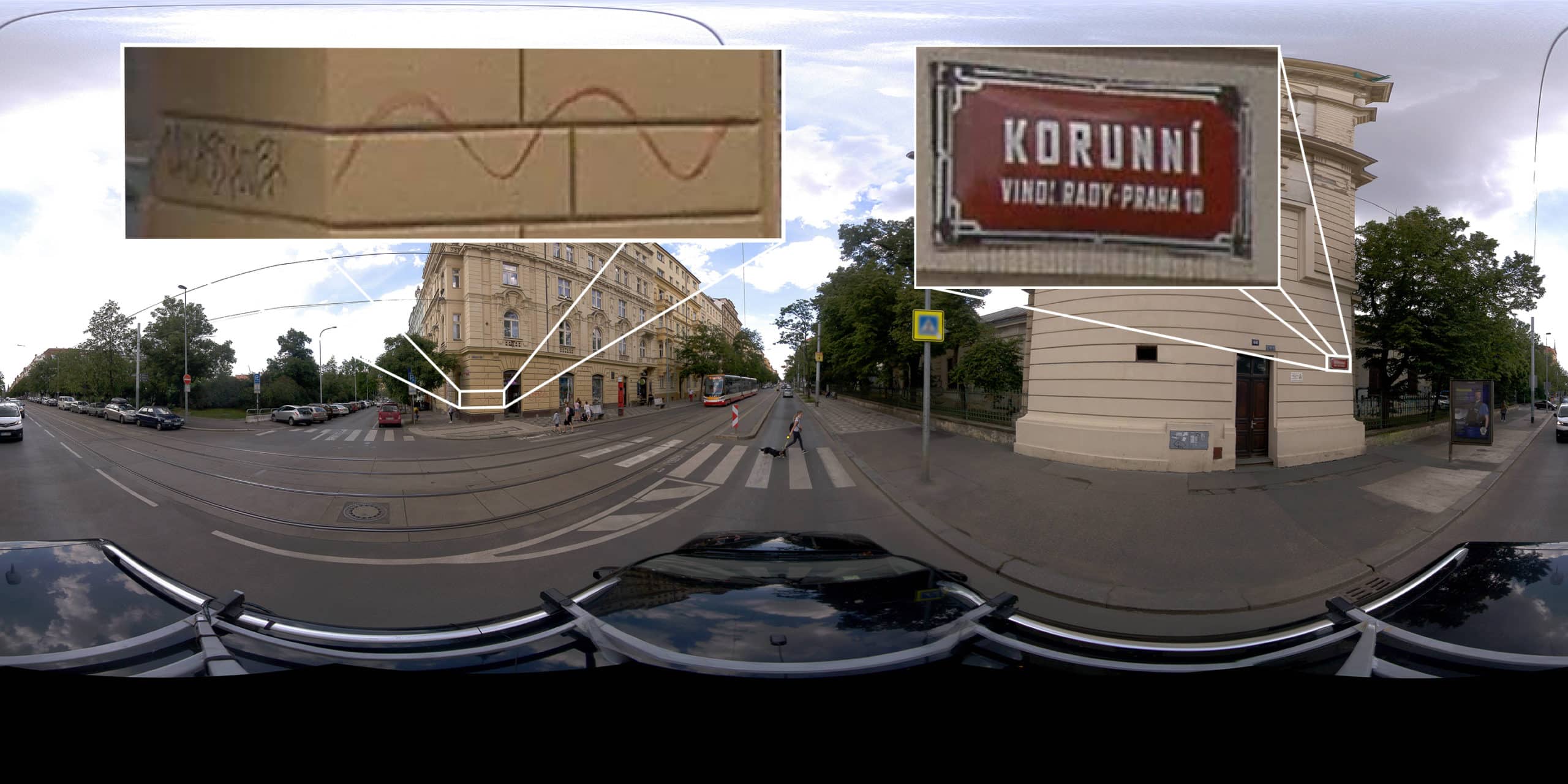
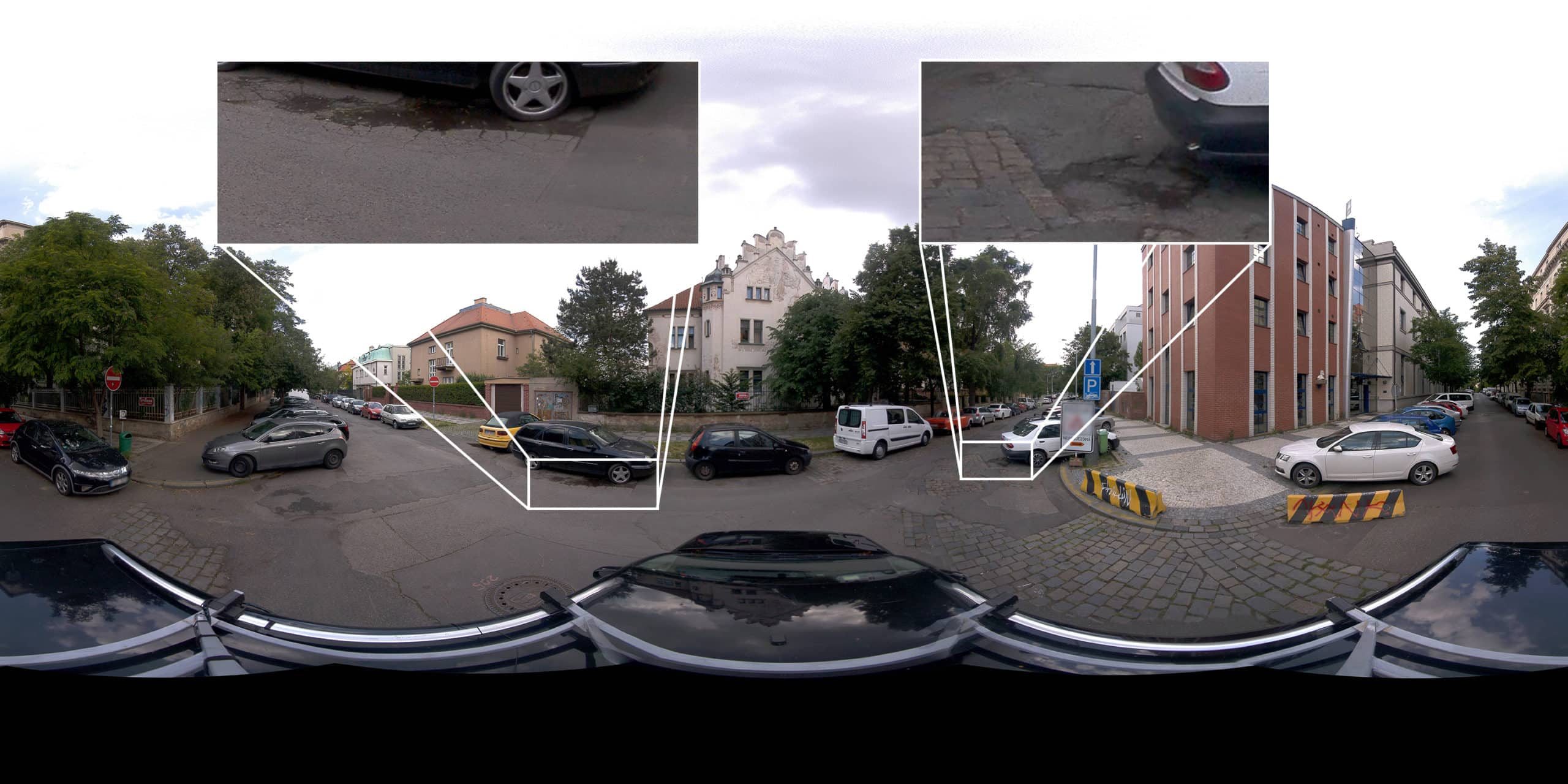
Using Mosaic 51, a 360º Mobile Mapping Camera for Electrical Grid & Road Inspection
Case study: Dymaxion integrates LiDAR with Mosaic 51 for electrical grid and road inspection
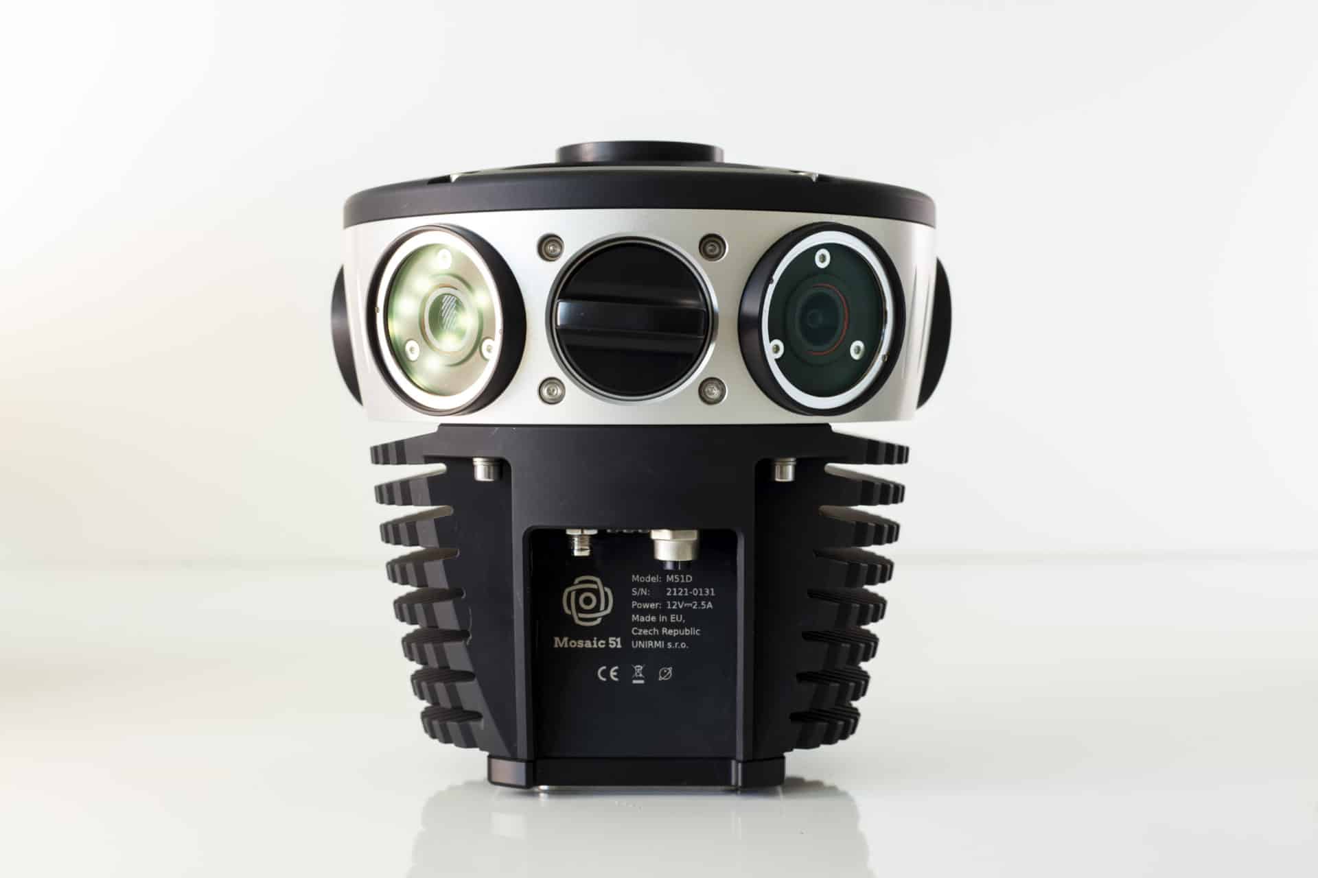
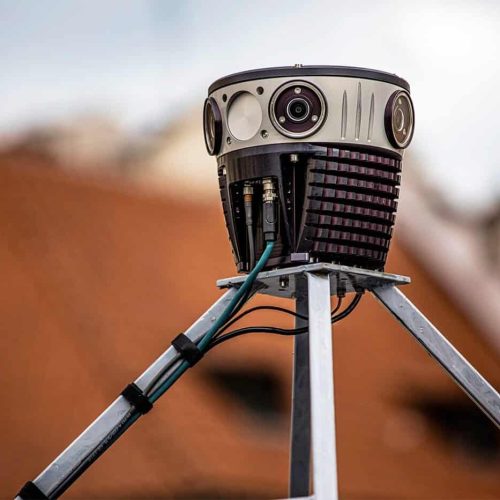

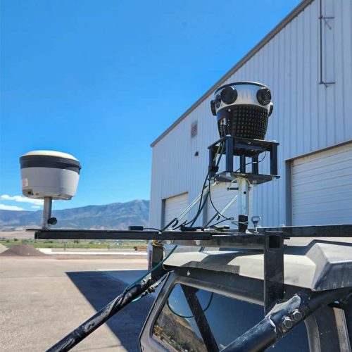


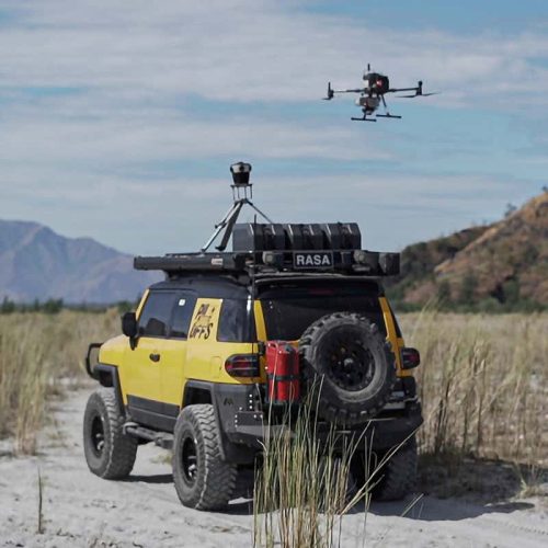
Case study: Dymaxion integrates LiDAR with Mosaic 51 for electrical grid and road inspection
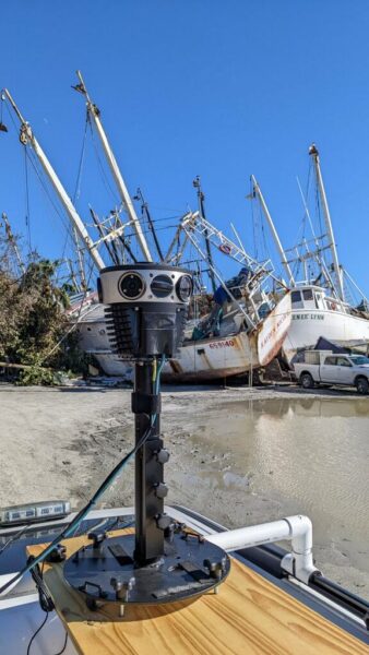
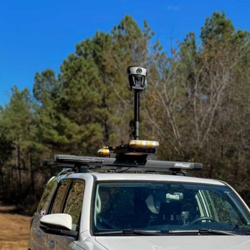
How Mosaic 51 customer created a solution for time-sensitive post disaster data collection and management
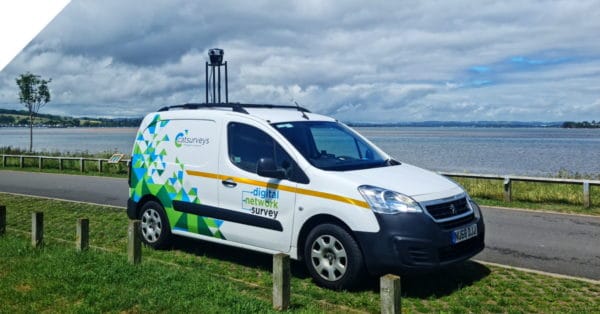
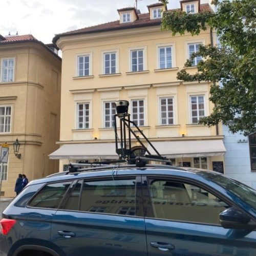
Looking to scale rapidly, reduce operational costs, and capture better data? Find out more with a real telecom surveying case study.


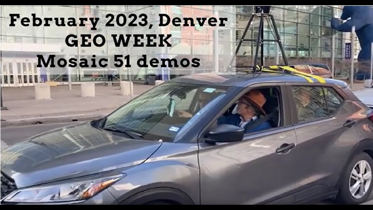


![Mosaic 51: Easy-To-Use 360° Camera [Robust and Compact Solution for Surveying and Mobile Mapping]](https://img.youtube.com/vi/ArGmBpccsc0/maxresdefault.jpg)
![Transforming Telecom Surveying: Catsurveys' Review of Mosaic 51 [Mobile Mapping 360° Camera]](https://img.youtube.com/vi/Js0DUgVbDbo/maxresdefault.jpg)


