Exploring the Mobile Mapping Landscape – Where Does the Mosaic Meridian Fit?
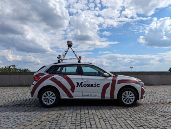
Looking for a mobile mapping system that balances precision, affordability, and usability? The Mosaic Meridian offers high-resolution imagery and optimized LiDAR data,
Looking for a mobile mapping system that balances precision, affordability, and usability? The Mosaic Meridian offers high-resolution imagery and optimized LiDAR data,
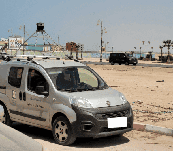
Discover how Mapersive enhanced large-scale urban image collection, using the Mosaic camera system to capture high-resolution 360° imagery and precise GPS data
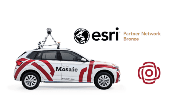
The combination of 360 imagery with GIS, especially 3D GIS and Reality Mapping brings a new level of detail and immersion to
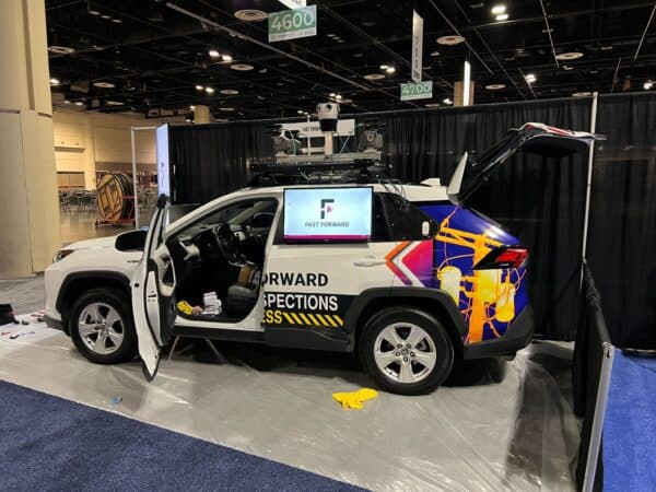
Combining thermal imagery and 360 street view for game-changing electrical grid surveying.
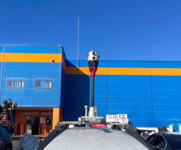
The Mosaic X, the highest-resolution mobile mapping camera, integrated with the RIEGL VMZ, sets a new 3D scanning standard. 3Dimensions delivers precise
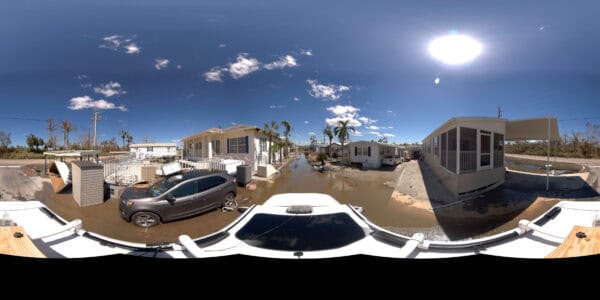
The game-changing impact of Mosaic’s 360º mobile mapping camera on insurance risk assessment. From tackling ambiguity in claims to providing real-time insights


