Predictions for Geospatial Technology and Trends in 2024
We’re excited to align with the key industry trends of 2024 and beyond, informed by insights from our ongoing customer and partner
We’re excited to align with the key industry trends of 2024 and beyond, informed by insights from our ongoing customer and partner
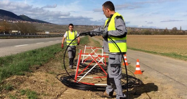
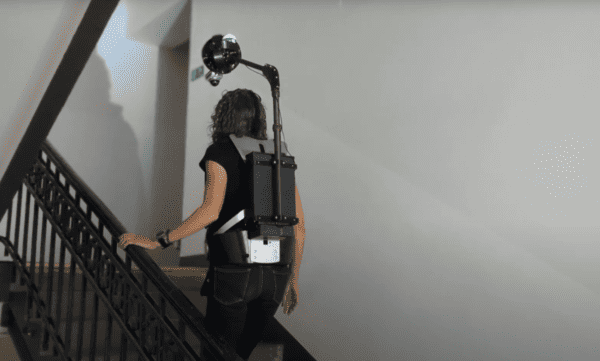
Discover how Mosaic’s cutting-edge 12K-20K resolution cameras are transforming utility and telecom industries by enabling detailed street view imaging for FTTH/FTTX planning
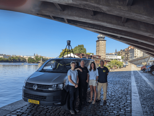
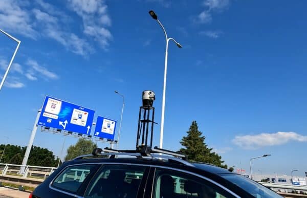
Smart Delta and Mosaic testing out a multi-sensor mobile mapping system including the Mosaic X camera, LiDAR, high-precision GNSS, and thermal camera,
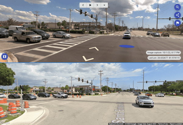
Discover how visual time travel empowers decision-makers in diverse fields, from climate change assessment to urban planning and beyond. Unveil the secrets
The role of 360° cameras is crucial in creating precise, geo-referenced 3D maps and highly lifelike digital twins. What urban insights with
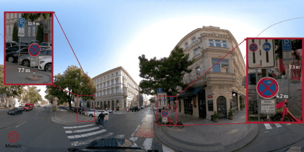
Street view imagery data captured by 360º mobile mapping cameras holds immense significance in the realm of mobile mapping systems, making it


