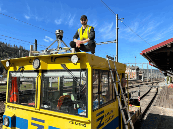
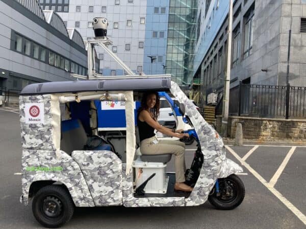
Keep Railway Projects on Track with Mosaic and AirView
Our cameras aren’t just for cars! AirView and Mosaic mounted a camera onto a train to capture georeferenced imagery of railway corridors.
Our cameras aren’t just for cars! AirView and Mosaic mounted a camera onto a train to capture georeferenced imagery of railway corridors.
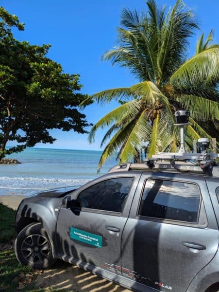
Discover how the Mosaic 51 improved Fly North’s ground capture capabilities to map 4,500 km of Colombia’s toughest environments.
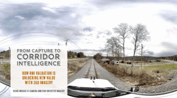
RMI Valuation is transforming the way railroad corridors are documented, valued, and managed using 360° imagery captured with Mosaic cameras.
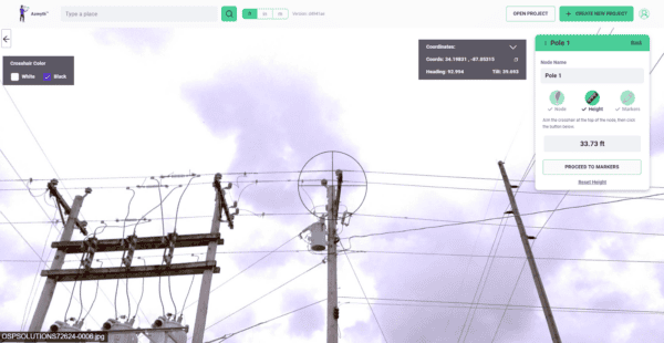
Learn how high-resolution 360° imagery, paired with Vulcan’s Azmyth platform, slashes costs by 70% and speeds up project timelines, setting new standards
The University of Bradford uses Mosaic’s advanced mobile mapping technology to capture historic sites in detail. Since 2023, their Visualising Heritage team
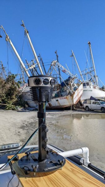
How Mosaic 51 customer created a solution for time-sensitive post disaster data collection and management


