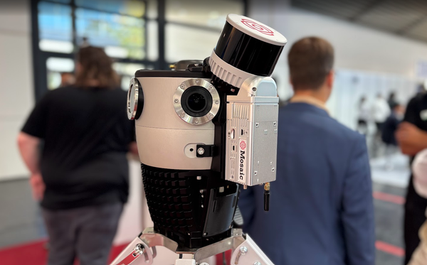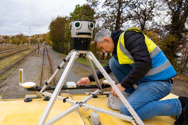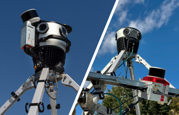

Centimeter-level accuracy starts with the right GNSS receiver. Here is how four leading RTK options compare when paired with Mosaic 360° mobile mapping cameras (and how to pick the right one for your project).
RTK (Real-Time Kinematic) GPS is a very precise satellite positioning technique that corrects errors in standard GPS/GNSS signals to achieve centimeter-level accuracy. A commercial car or phone navigation system is accurate to within a few meters, but RTK brings that margin of error down to just 1–2 centimeters for industrial uses.
GPS RTK receiver comparison at a glance
The table below is a quick reference of the receivers we will compare in the rest of this article: Emlid Reach RS3 / RS4, XVN (Xsens Vision Navigator), Trimble Applanix POS LVX+, and Septentrio.
| Brand / Model | Integration with Mosaic | Key Strength | Ideal Use Case |
|---|---|---|---|
| Emlid Reach RS3 and RS4 | Out-of-the-Box | Unbeatable price-to-performance; rapid RTK fix; versatile surveying workflows | Scalable fleets, survey-grade projects, even in challenging environments |
| XVN (Xsens Vision Navigator) | Out-of-the-Box | Dual RTK GNSS architecture for precise heading in complex environments | Dense urban canyons and city reconstruction projects |
| Trimble Applanix POS LVX+ | Customer Proven | Dual GNSS receivers and dual IMU support | Large-scale corporate or government surveying fleets |
| Septentrio | Customer Proven | Anti-jamming (AIM+) and multi-path mitigation | High-interference zones and dense city centers |
Why positioning accuracy is important for mobile mapping data
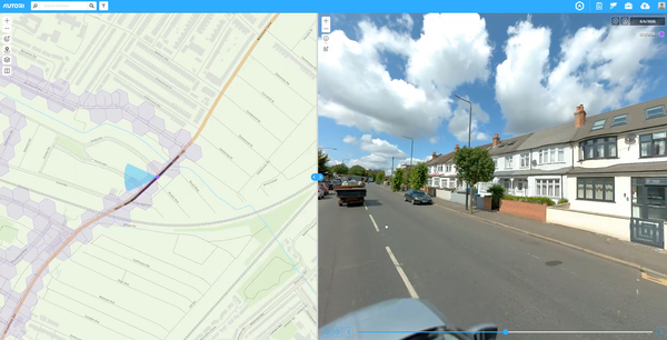
A 360° mobile mapping camera captures visual data, but that data is often only as useful as the coordinates attached to it. If the positional metadata is off by a meter, asset locations are wrong, and that inaccuracy radiates down through the entire project.
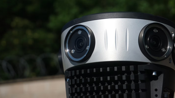
This is why the GPS RTK receiver you pair with your mobile mapping system (MMS) is an important consideration to make. Mosaic cameras come with standard onboard GNSS which can provide 1-2 meters accuracy. However, all of Mosaic’s lineup of mobile mapping cameras is engineered to accept standard GNSS inputs, which means you are not locked into a single receiver brand. However, not every RTK receiver is the right fit for every workflow. This guide breaks down your options.
What RTK positioning actually means for 360° cameras
Real-Time Kinematic (RTK) positioning is a satellite navigation technique that uses a fixed base station and a mobile rover to achieve centimeter-level accuracy. Standard GPS is accurate to within a few meters. RTK narrows that down to 1 to 2 centimeters under good conditions.
For a mobile mapping system (MMS) traveling at highway speed, as we see with the Mosaic X and Meridian 2 systems, that difference can grow significantly. At 60 miles per hour, a vehicle moves roughly 27 meters per second. A receiver that takes too long to establish a fixed RTK solution, or that loses it in a challenging environment, introduces spatial drift that corrupts the imagery captured during that window.
Survey-grade mobile mapping requires a receiver that achieves a fixed RTK solution quickly, holds it reliably, and timestamps each solution with enough precision to synchronize with the camera’s shutter cycles. That last requirement is handled by a specific hardware signal called a PPS pulse, which we cover in the next section.
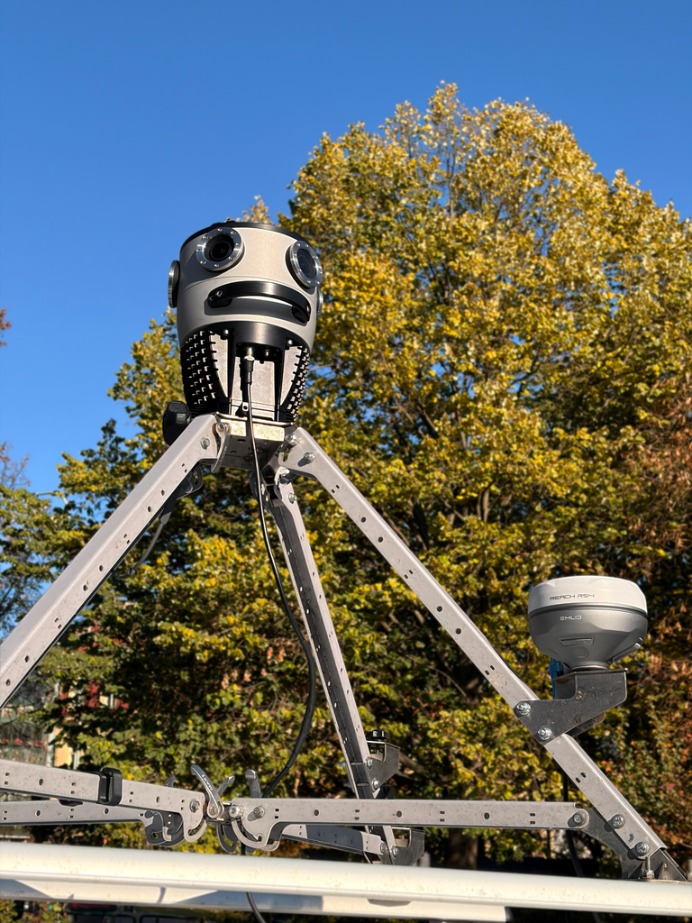
Read our case study from Catsurveys, a UK-based company that integrated Emlid Reach RS2 with their Mosaic 51: Leveraging an Emlid GNSS receiver and Mosaic Cameras for Advanced Geospatial Solutions
What are the technical requirements every GNSS receiver must meet?
Before comparing brands, it is worth understanding the two core hardware requirements for direct integration with Mosaic camera systems.
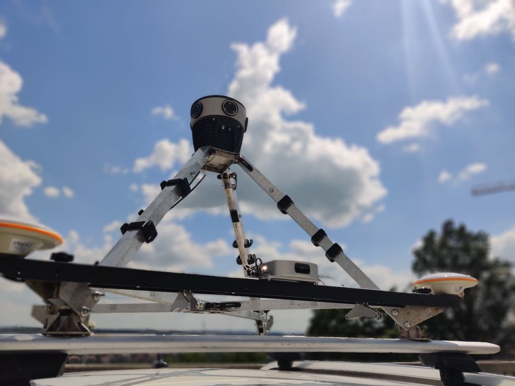
To integrate an external GNSS receiver with a Mosaic camera, the receiver needs two things: the ability to stream NMEA messages over RS232, and a PPS (Pulse Per Second) signal at 3.3–5V.
Together, these give the camera a precise, shared timing reference so it can timestamp every frame it captures.
NMEA streaming over RS232
The camera stores its output directly on the internal SSD or ( you can configure the camera to store the data on a Samba share): video files per sensor, a frame timestamp file, and trajectory – route.gpx (all position information provided by the external GNSS) and route_frame_synced.gpx (an interpolated file that matches a position to each individual frame based on its timestamp).
The camera stores the position of each frame in route_frame_synced.gpx, but since this is done in real time, the accuracy isn’t as high as it could be. Therefore, we run this process again in MoPro based on route.gpx and frame_times.csv to achieve even a better result than what is in route_frame_synced.gpx.
PPS (pulse per second) support
A PPS output is a hardware signal that pulses exactly once per second, synchronized to the GNSS clock. For a mobile mapping system, this pulse is used to align the camera’s shutter cycles with the receiver’s timing, ensuring that every image is tagged with an accurate position.
Without PPS synchronization, positional accuracy drifts or degrades, in proportion to the vehicle’s speed.
The top GPS RTK options for mobile mapping
The following four receivers have all been evaluated in mobile mapping workflows with Mosaic camera systems. Two are documented out-of-the-box integrations, while the other two are carried by Mosaic customers in production deployments. All four meet the NMEA and PPS requirements above.
Emlid Reach RS3 and RS4: the best for agile teams and scalable fleets
TL;DR: Best for: Agile surveying teams, fast deployment, scalable fleets, and projects where field operators need a centimeter-precise system that just works.
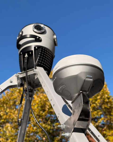
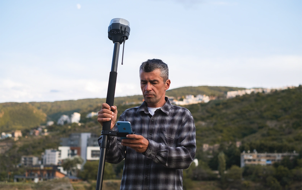
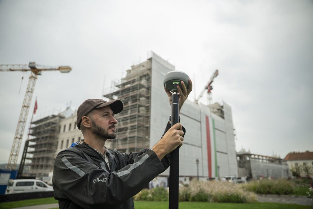
The Emlid Reach series is the most accessible entry point into survey-grade RTK positioning without sacrificing performance. The Reach RS3 and RS4 deliver RTK fix in seconds, even in challenging signal environments, and both units are built around a rugged, field-ready form factor.
The Reach RS4 goes a step further: it tracks all available satellite constellations and frequencies, including the lower L5 and L6 bands, which are resistant to multipath and interference.
Mosaic engineers have fully documented the Emlid integration, meaning the setup process is straightforward and well-supported. The receivers work as either a rover (mounted on the survey vehicle) or as a local base station for grounding mobile mapping data to a known point.
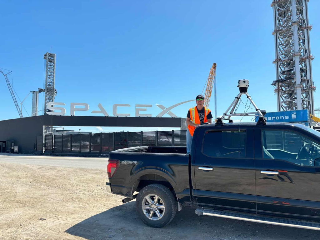
Read our case study from Vulcan Line Tools, an American company that integrated Emlid Reach RS3 with Mosaic X: Transforming Utility Pole Inspections with Mosaic X Camera System
The price-to-performance ratio is exceptional for teams that need to scale their mapping operations without exponential hardware costs.
If you are running multiple vehicles, building out a new mapping fleet, or looking for a reliable entry point into RTK-grade mobile mapping, Emlid is the practical first choice.
XVN (Xsens Vision Navigator): the best for urban canyons
TL;DR: Best for: Urban canyons, city-scale 3D reconstruction projects, and workflows where consistent heading accuracy matters as much as positional accuracy.
Rather than a single GNSS antenna, the Xsens Vision Navigator (XVN) uses a dual-antenna RTK GNSS receiver system, which provides a significant advantage in environments where a single antenna struggles to maintain a reliable heading.
In dense urban environments (think tall buildings on both sides of a narrow street) satellite signals reflect off facades before reaching the antenna, errors that can throw off heading calculations. A dual-antenna setup resolves heading from the vector between two antennas rather than from satellite geometry alone, which makes it much more robust in exactly these conditions.
For teams building city-scale 3D reconstructions (like the kind Mosaic’s large-scale reconstruction pipeline produces), accurate heading data is critical for aligning imagery correctly across thousands of frames.
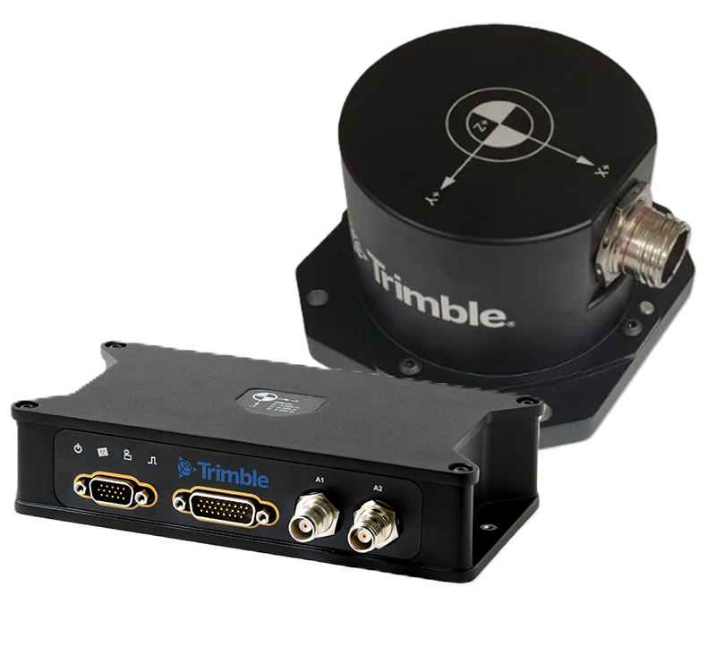
Trimble Applanix POS LVX+: the best for enterprise government fleets
TL;DR: Best for: Large-scale corporate or government surveying fleets, organizations already embedded in the Trimble ecosystem, and projects with strict accuracy specifications.
The Trimble Applanix POS LVX+ is the choice for organizations that operate at the top of the enterprise tier. It features dual GNSS receivers and dual IMU (Inertial Measurement Unit) support, enabling hardware triggering with a level of precision that matches the most demanding government and large-scale corporate survey requirements.
This system is already carried by Mosaic customers in production, which means the integration pathway is established and tested. The Applanix platform is a known quantity in the professional surveying world, and for organizations that have built their entire geospatial workflow around Trimble’s ecosystem, the POS LVX+ fits without disruption.
The tradeoff is cost and complexity. This is not the right tool for a small team standing up a new mapping operation, but it is for a government agency or Tier-1 survey company that needs maximum precision and has the technical staff to support it.
Septentrio: the best for high-interference environments
TL;DR: Best for: High-interference industrial zones, dense city centers with heavy cellular infrastructure, and vehicle roofs carrying multiple active electronic systems.
Septentrio receivers are built around one core differentiator: resistance to radio frequency (RF) interference. Their proprietary AIM+ (Advanced Interference Mitigation) technology combines anti-jamming and anti-spoofing capabilities in a highly flexible receiver architecture.
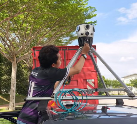
When you mount multiple electronic components on a vehicle roof, such as a 360° camera, a LiDAR unit, a GNSS receiver, and supporting power hardware, RF interference between those components becomes an operational risk. Septentrio’s architecture is specifically engineered to maintain positioning integrity when using this setup.
The same resilience applies in environments near cellular towers, industrial facilities, or anywhere high RF noise is present. For urban mapping projects where maintaining a solid fixed RTK solution through dense infrastructure is non-negotiable, Septentrio provides a level of signal robustness that other receivers do not match.
How to choose the right RTK receiver for your project
The right choice for your RTK receiver ultimately comes down to three operational filters: budget, environment, and workflow.
Budget
If cost is a primary constraint and you need to scale quickly, Emlid is the clear starting point. The Reach RS3 and RS4 deliver survey-grade performance at a price point that makes it realistic to equip multiple vehicles without overextending a capital budget.
Enterprise systems like the Trimble Applanix POS LVX+ carry a substantially higher price tag. That premium is justified when the project requirements demand it, but it is not necessary for the majority of mobile mapping workflows.
Environment
If your mapping routes run through dense urban areas with tall buildings, the XVN’s dual-antenna architecture addresses the heading accuracy problem that single-antenna setups struggle with in those conditions.
If your routes pass through areas with high RF interference – near cell towers, industrial corridors, or when operating with multiple active sensors on the vehicle – Septentrio’s AIM+ technology provides a level of resilience that is difficult to match elsewhere.
For most suburban and rural environments, either Emlid RS3 or Trimble will perform reliably without needing interference mitigation. If your routes mix open roads with built-up or busy corridors, the Reach RS4’s all-band tracking also adds resistance to multipath and interference.
Workflow
Teams that need to move fast, train new operators quickly, and minimize setup time will find that Emlid’s out-of-the-box Mosaic integration and well-documented setup process remove friction from deployment.
Organizations with established enterprise GIS infrastructure, existing Trimble hardware, and trained operators may find that the Applanix POS LVX+ fits more naturally into their existing workflows, even at a higher cost.
Because Mosaic cameras support standard NMEA streaming and PPS timing inputs, you have complete hardware freedom. There is no proprietary lock-in on imagery. Choose the receiver that matches your operating environment and budget, and the camera will work with it.
Frequently asked questions
What is GPS RTK and why does it matter for mobile mapping?
RTK (Real-Time Kinematic) positioning uses a base station and rover receiver to achieve centimeter-level GPS accuracy in real time. For mobile mapping, RTK is essential because it determines the spatial precision of every image’s geotag. Without RTK, imagery may be accurate only to within several meters, which is insufficient for asset inventory, infrastructure planning, or engineering-grade deliverables.
Do Mosaic cameras work with any GPS RTK receiver?
Mosaic cameras support standard NMEA streaming over RS232 and PPS (Pulse Per Second) timing inputs. Any GPS RTK receiver that outputs both is compatible. Emlid and XVN receivers are fully documented for out-of-the-box integration. Trimble Applanix and Septentrio receivers are carried by Mosaic customers in active production deployments. Reach out directly to Mosaic for more information about your preferred setup.
What is PPS and why is it required for mobile mapping cameras?
PPS (Pulse Per Second) is a hardware timing signal output by a GNSS receiver and synchronized to the GPS clock. Mobile mapping cameras use this signal to align each shutter trigger with an exact GPS timestamp. Without PPS synchronization, positional accuracy degrades with vehicle speed.
Do I need LiDAR as well as RTK for mobile mapping?
Not necessarily. RTK provides precise positional coordinates for imagery. LiDAR adds a three-dimensional point cloud that enables direct measurement of distances, heights, and structural geometry. If you’re focused on street-level visual inspection, route documentation, or asset inventory from imagery alone, RTK-equipped cameras are sufficient. LiDAR becomes valuable when needing engineering-grade measurements.
What level of positional accuracy can I expect from RTK mobile mapping?
Under ideal mapping conditions with a fixed RTK solution, horizontal accuracy of 1 to 2 centimeters is achievable. In practice, mobile mapping workflows using Mosaic cameras with properly configured RTK receivers typically achieve 2 to 10 centimeter accuracy depending on satellite geometry, local obstructions, and baseline distance to the reference station. In GPS-denied environments such as tunnels, inertial navigation systems (INS) maintain relative accuracy until satellite lock is re-established.
The bottom line
High-resolution imagery is a large part of a mobile mapping dataset, but it isn’t everything. Knowing the location of the images completes the picture and makes the dataset much more useful. Choosing a GPS RTK receiver that matches your environment, budget, and integration requirements is the decision that determines your data’s usability.
For most teams scaling a mapping fleet, Emlid offers the fastest path to survey-grade positioning without unnecessary complexity. Its out-of-the-box integration with Mosaic MMS also adds to its ease of use for those new to the RTK game.
For urban environments, XVN’s dual-antenna architecture addresses heading accuracy where it matters most. For enterprise government fleets, the Trimble Applanix POS LVX+ provides the precision and ecosystem depth that large-scale programs require. And for high-interference environments, Septentrio’s AIM+ technology delivers the signal resilience that other receivers cannot match.
Because Mosaic cameras support standard NMEA and PPS inputs, you are not locked into any single receiver. You can choose the hardware that fits your workflow, and the camera integrates with it.
To learn more about integrating your Mosaic MMS with Emlid’s lineup of RTK receivers, reach out to the Mosaic or Emlid teams today.