Community
Maps during COVID
Check out 10 incredible maps created during COVID which have kept communities large and small informed and safe in a time of uncertainly and danger.

Check out 10 incredible maps created during COVID which have kept communities large and small informed and safe in a time of uncertainly and danger.

A 360° agriculture camera system for crop monitoring and inspection: identify insects, crop diseases and nutrient deficiencies.

The American Jobs Plan proposes spending $2 trillion on infrastructure and jobs. Here’s how a 360 mobile mapping camera would be a great tool in 10 cases.
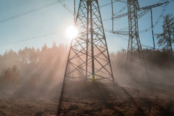
How utilities are using integrated vegetation management solutions to clear the way for better vegetation management

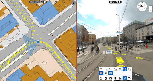
Clearer, high resolution images and more precise GPS are just some of the ways better maps make for better route planning.
The future of asset inspection has arrived with a 360º solution – the Mosaic 51 – a 360º camera for asset condition assessment and asset management systems.