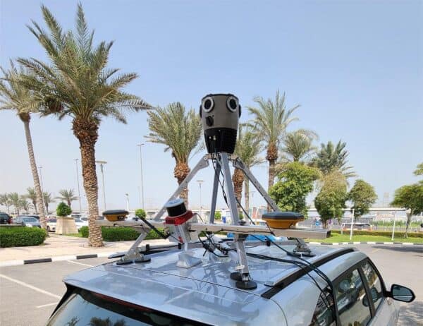
The Mosaic Meridian Proves it Can Take the Heat in the United Arab Emirates
In a recent sales trip to the UAE, the Mosaic Meridian proved that high temperatures are not a reason to stop surveying.
In a recent sales trip to the UAE, the Mosaic Meridian proved that high temperatures are not a reason to stop surveying.
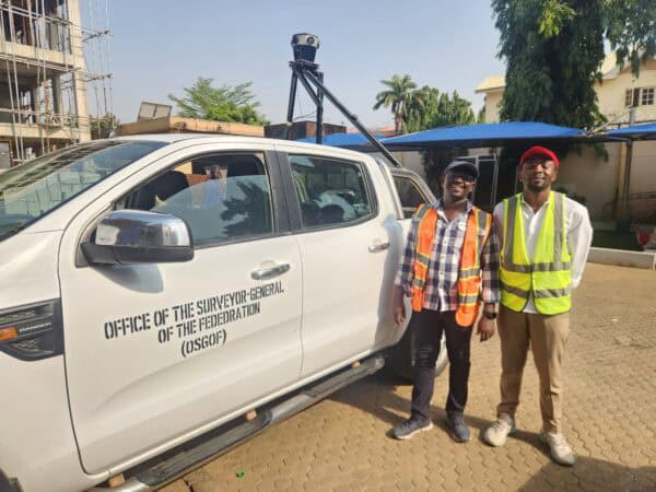
Building smart cities starts with a smart digital model. Follow Nigeria’s largest cities as they use mobile mapping to improve infrastructure.

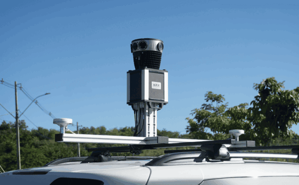
Learn about the revolutionary uses of 360° mapping in this guest-authored article by our Brazilian partner, ARX.
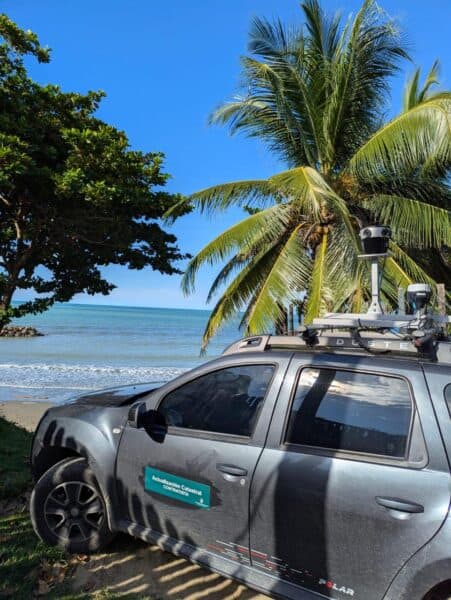
Discover how the Mosaic 51 improved Fly North’s ground capture capabilities to map 4,500 km of Colombia’s toughest environments.
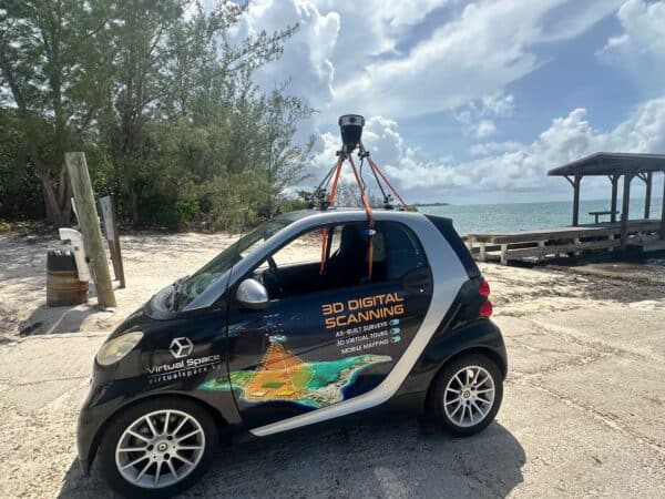
Virtual Space is meeting the unique mapping needs of the Cayman Islands with the Mosaic 51.
Learn how to perform measurements in 360° images with the aid of GNSS/IMU works, highlight the operational advantages of a laser-free approach,


