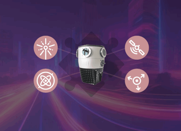
Built for Integration: 5 Reasons Mosaic Cameras Work Seamlessly with External Sensors
Build a seamless integration with Mosaic cameras and your preferred external sensors.
Build a seamless integration with Mosaic cameras and your preferred external sensors.
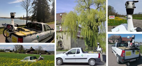
IGI successfully integrated the Mosaic X camera onto the existing StreetMapper-V platform.
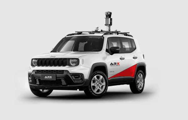
Learn about the revolutionary uses of 360° mapping in this guest-authored article by our Brazilian partner, ARX.
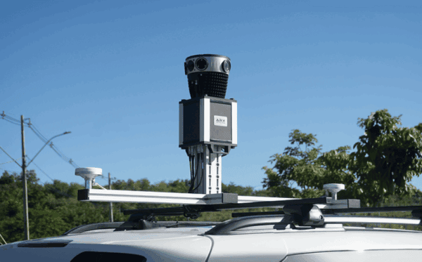
Learn how to perform measurements in 360° images with the aid of GNSS/IMU works, highlight the operational advantages of a laser-free approach,

Don’t interrupt your workflow or stress about learning new software! Mosaic’s non-vendor-locked data has 20+ compatible software programs.

Mosaic is pushing industry boundaries with the Mosaic Xplor, a 360º mobile mapping backpack made to explore, capture, and analyze hard-to-reach environments.


