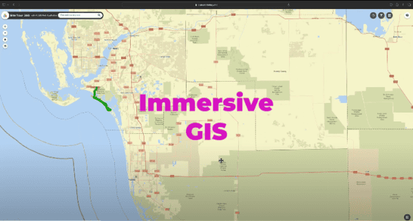
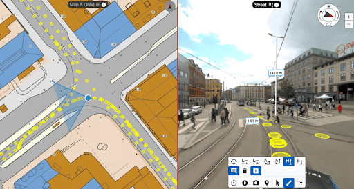
Immersive GIS with 360 Imagery: Be There From Anywhere
Learn about the cutting-edge applications of 360 imagery in GIS, enabling more precise and efficient project management, disaster response, and environmental monitoring.
Learn about the cutting-edge applications of 360 imagery in GIS, enabling more precise and efficient project management, disaster response, and environmental monitoring.
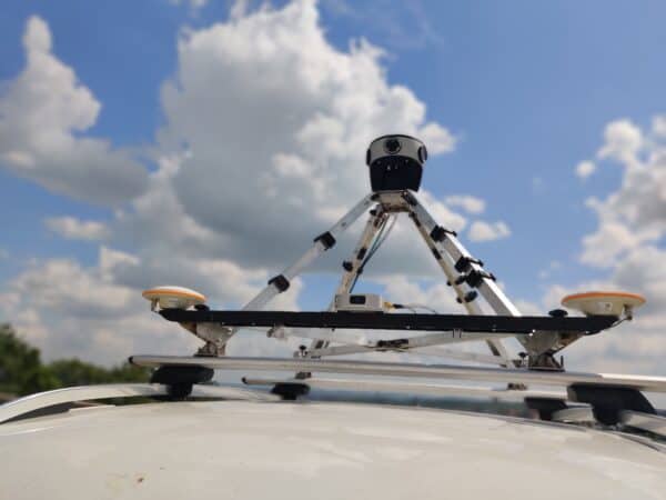
Mosaic and Movella have partnered to redefine mobile mapping and geospatial analysis, merging cutting-edge camera technology with advanced inertial sensors. This strategic
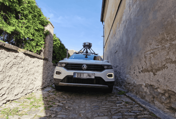
Discover how seven unique users utilize these 360° mapping cameras to revolutionize data collection, improving decision-making and operational efficiency in diverse industries
Discover how Catsurveys, a UK surveying leader, enhances geospatial services by integrating Mosaic Cameras with Emlid GNSS, boosting precision and data quality.
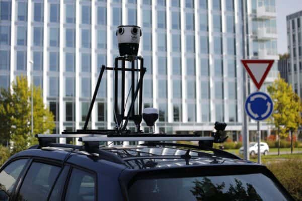
Discover the transformative power of the Mosaic Viking 360º Mobile Mapping Camera. Learn how it enhances operational efficiency and cuts costs in

A comprehensive solution for the VFX, movie and gaming industries reduces time and costs in the pre-production phase.


